Cape To Cape Trek

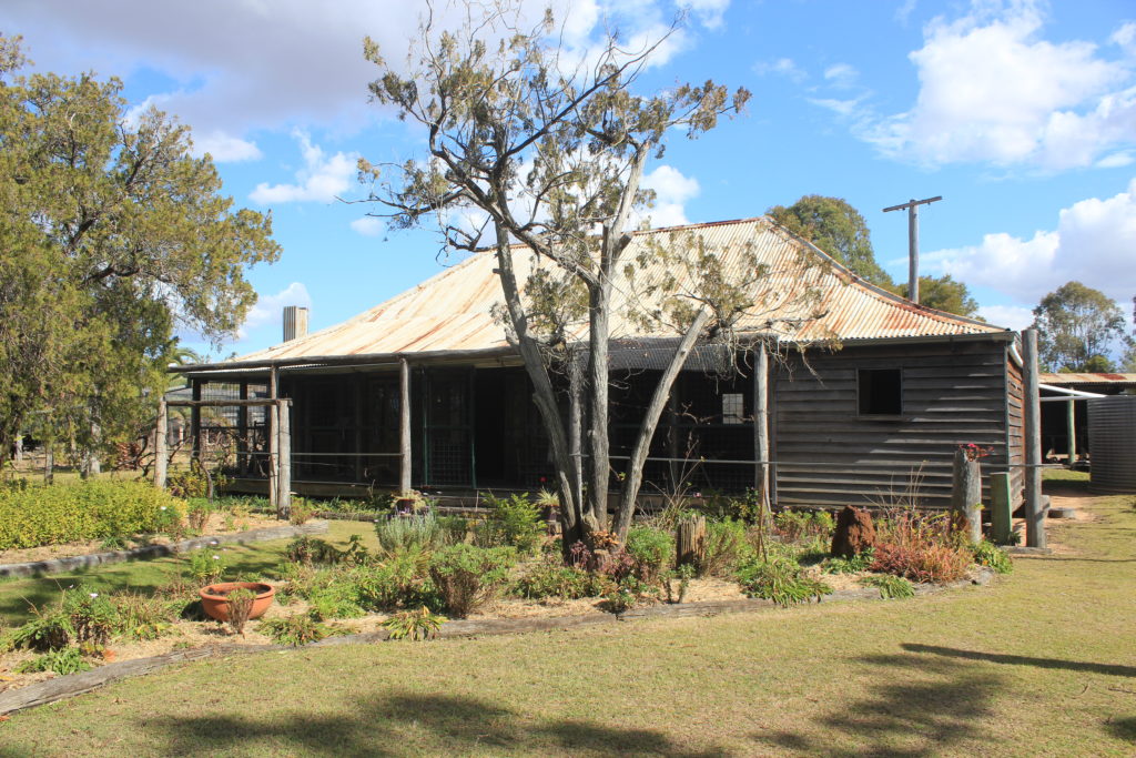
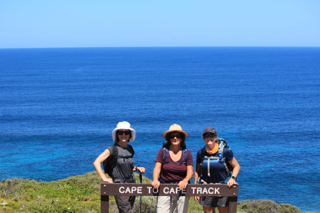
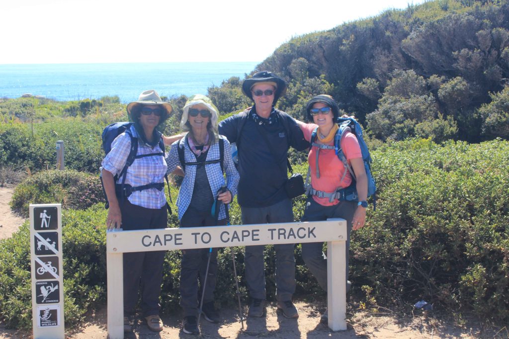
Well after being back in Perth for only a few weeks it seems like we have only just unpacked the caravan and we are off again.  Renae asked us if we would be interested in walking the Cape to Cape Track from Cape Naturalise to Cape Leeuwin.  We have been talking about doing this trek with Rob and Vicki Riebe for a couple of years and as we all have lots of free time on our side now Renae has pushed us to get on and do it.

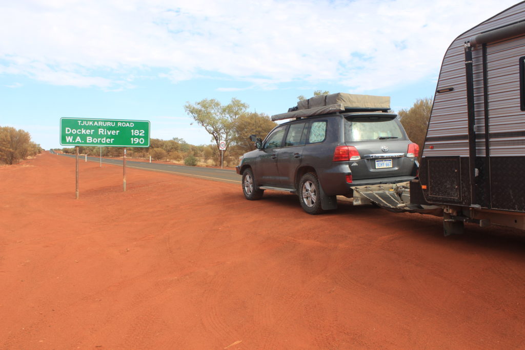
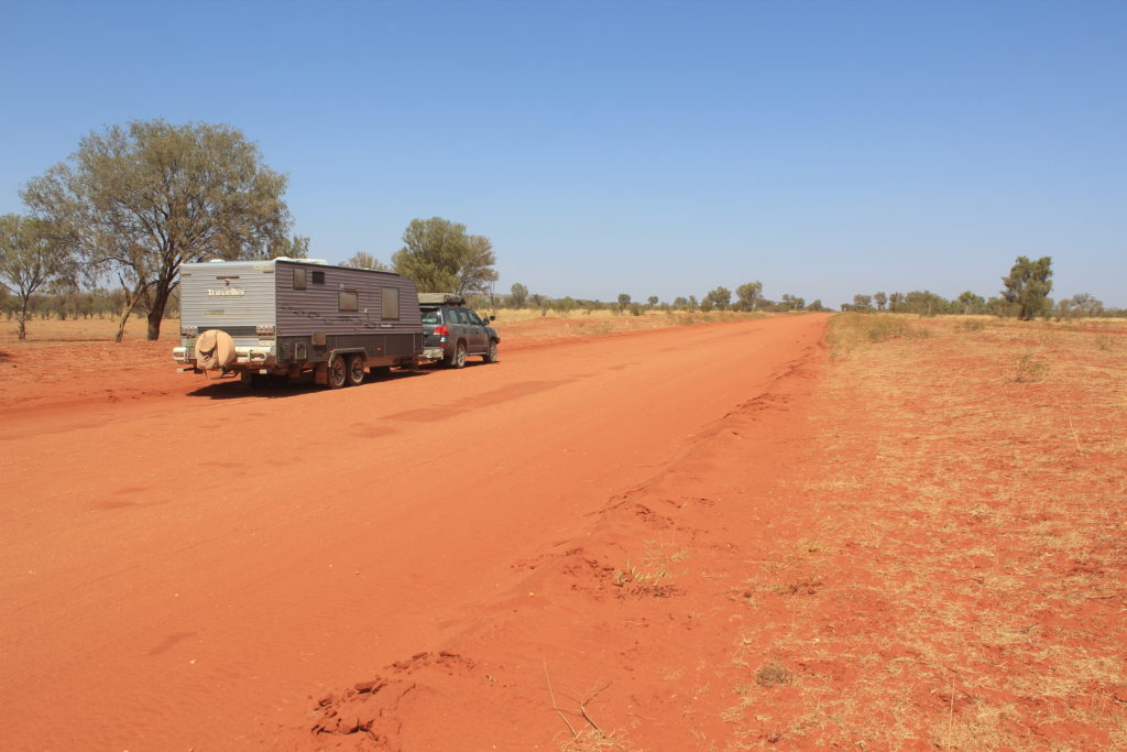
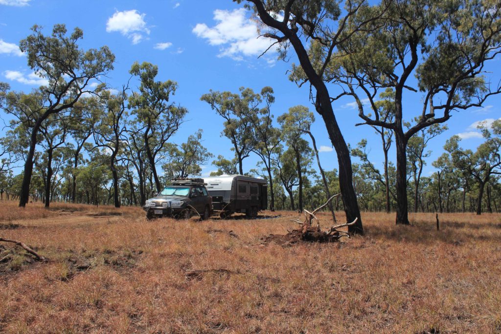
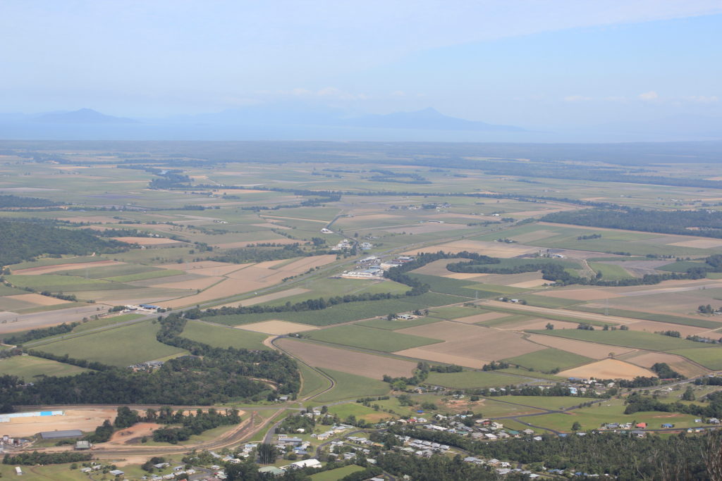
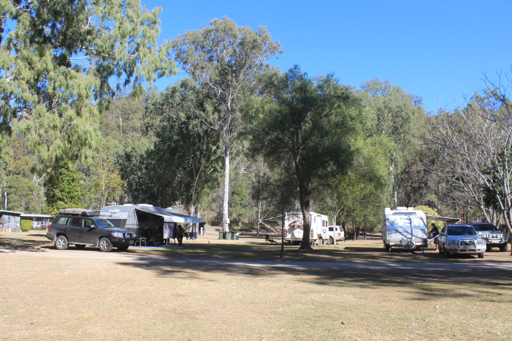
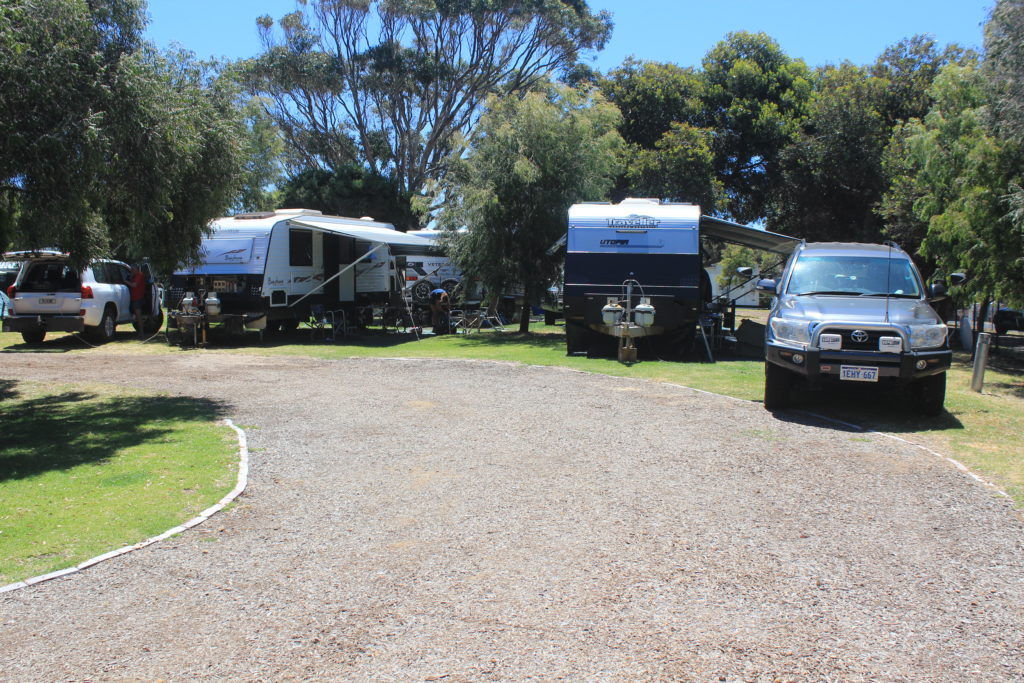
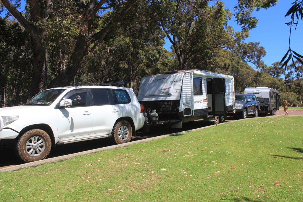
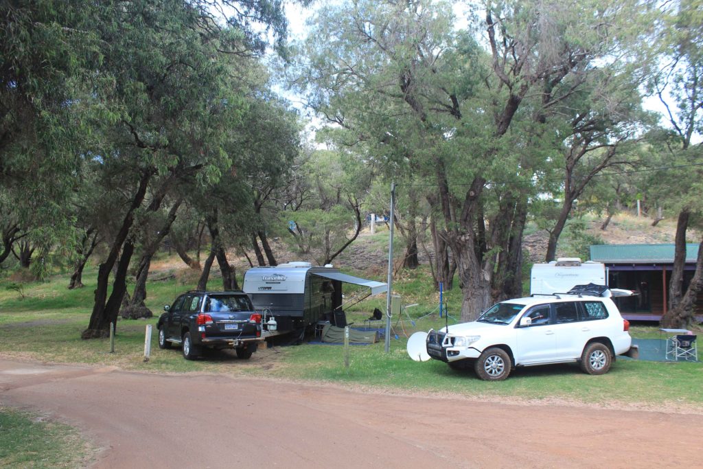
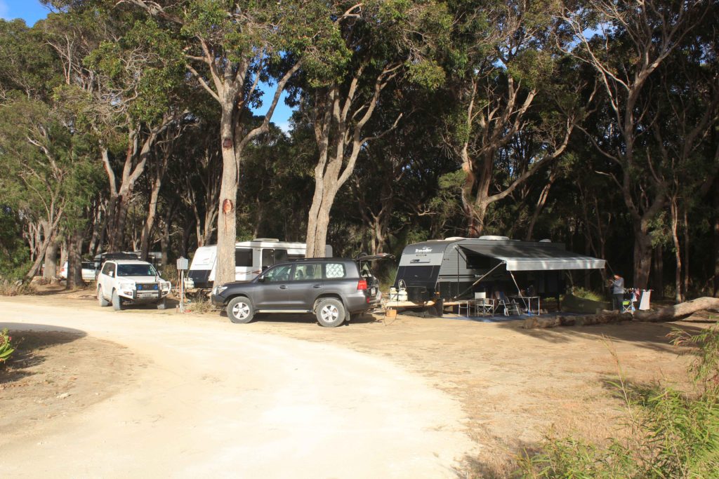
After a few very important team meetings to discuss strategies and camping details we came up with a plan that would suit the age of the more senior walkers of our group.  As we were going to be staying in our caravans we decided that we would do the trek by dividing it up into 3 x 2 day walks with a relocation/transition day in between.    This would make our trip away a nine day getaway which suited us oldies very nicely.  After each two day walk section we would relocate our vans to the next campsite.  Renae thought we should just smash the walk out in the six days but as we would be down in the wine area we told her that the relocation day was required to allow us the chance to sample some local produce and restock on lost calories.

Set up next to the Riebe’s at Yallingup Beach Holiday Park
Day 1 – Cape Naturalise to Injidup

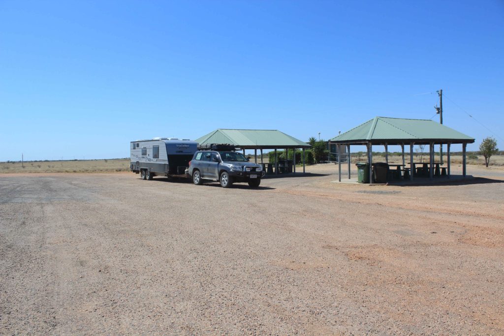
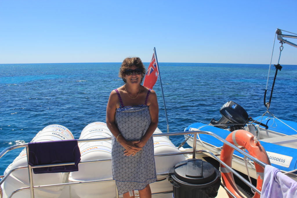
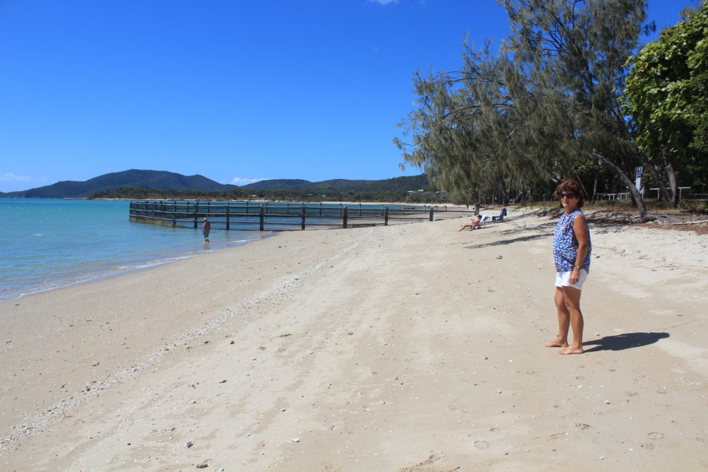
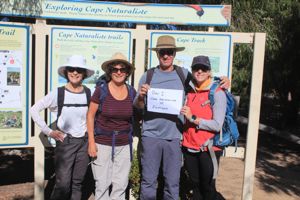
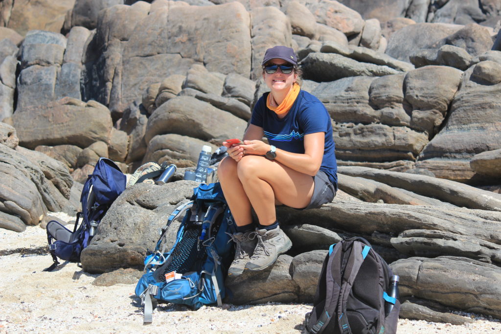
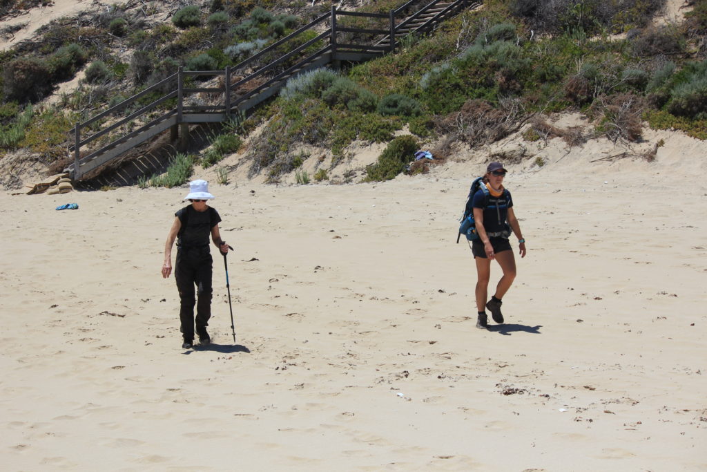
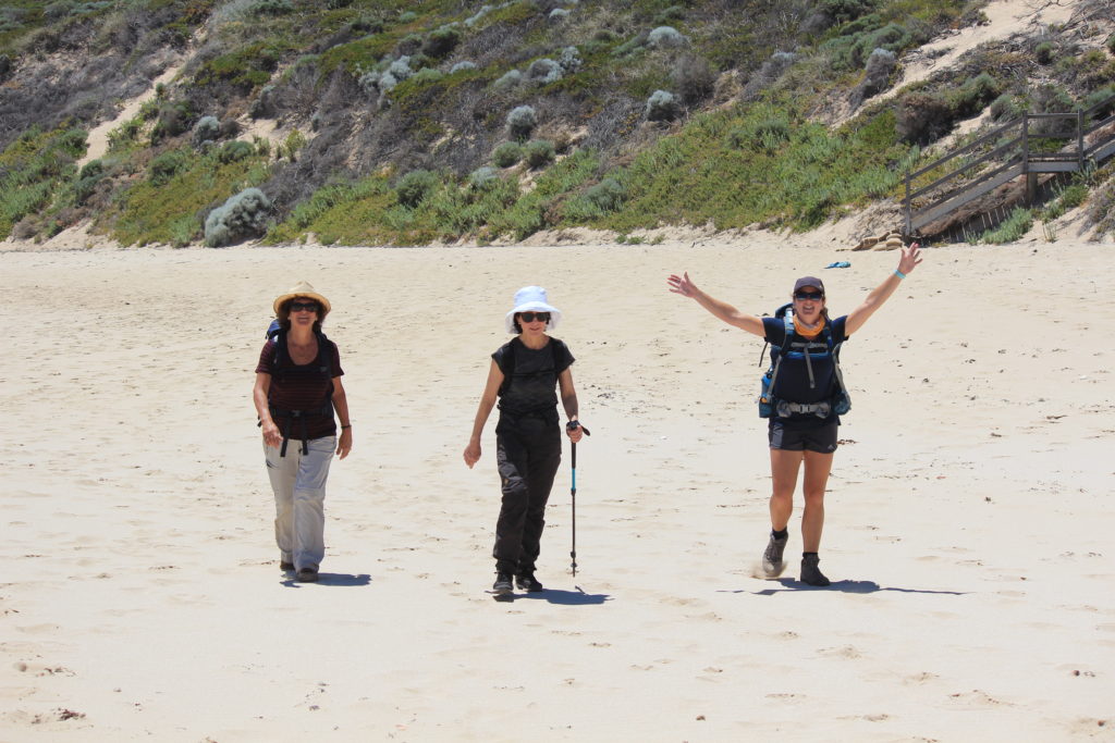
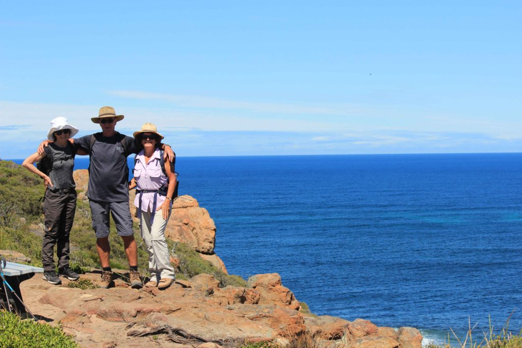
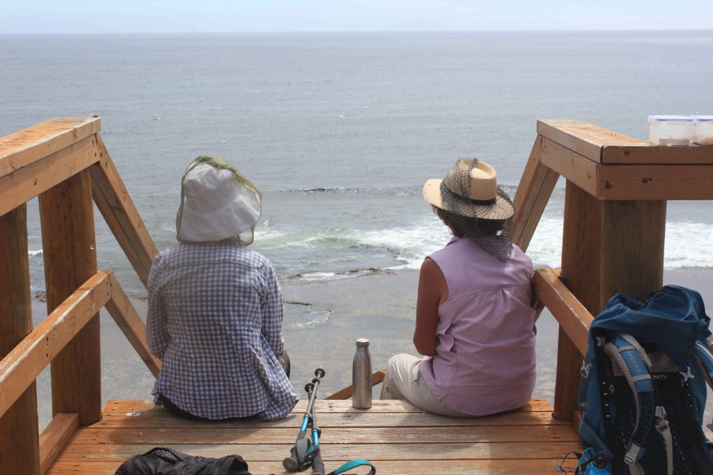
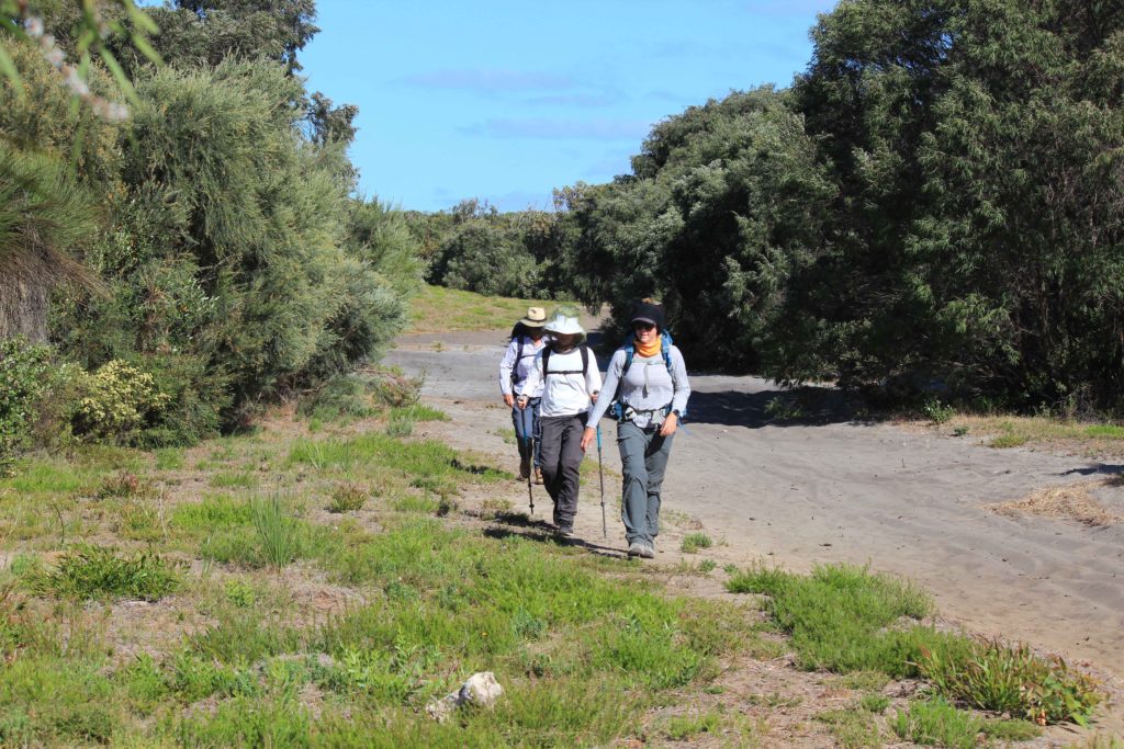
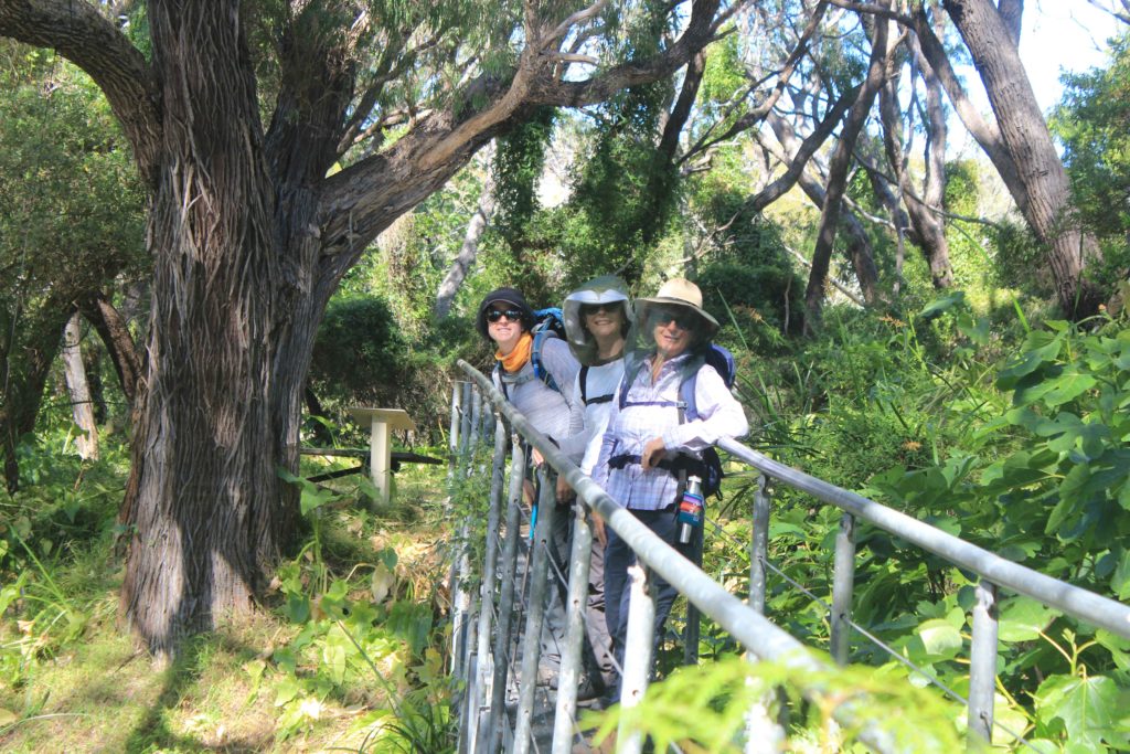
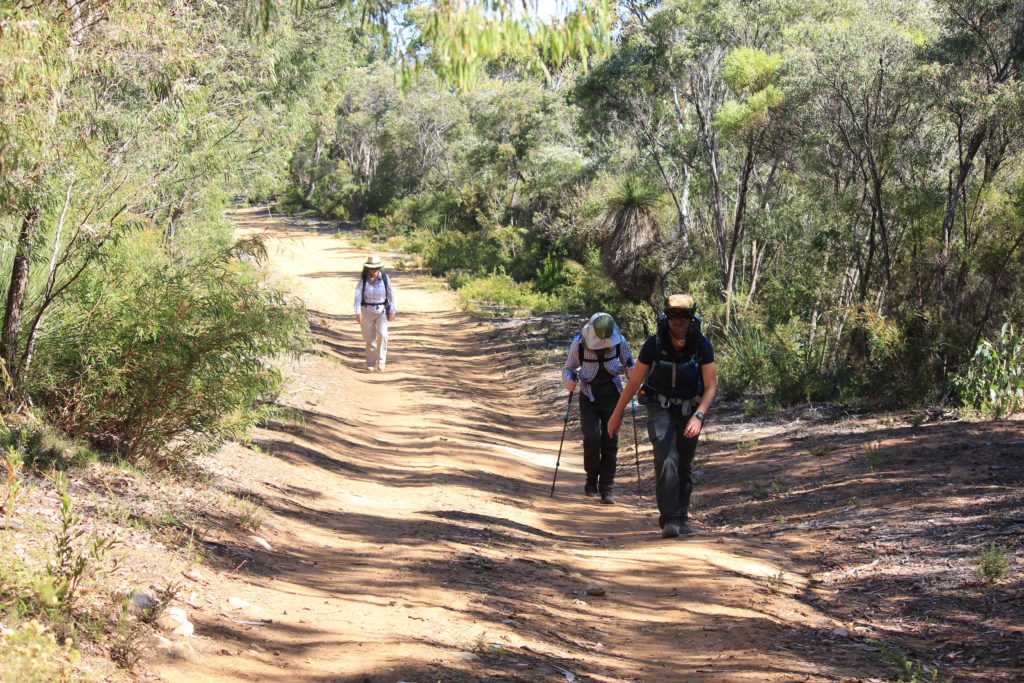
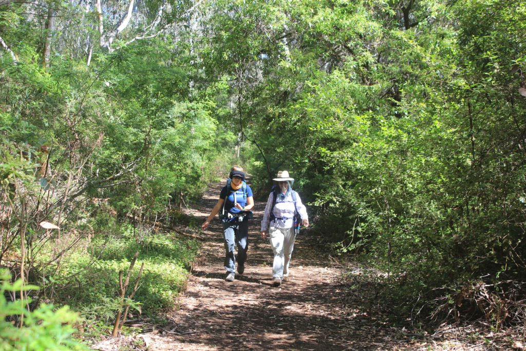
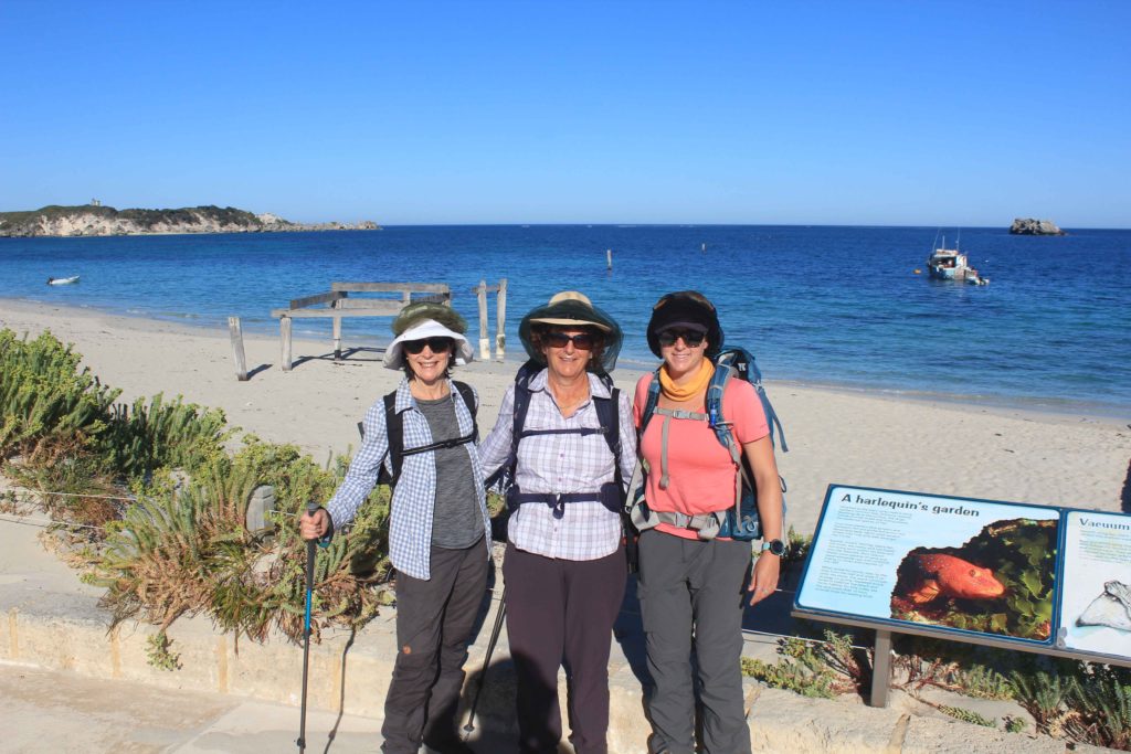
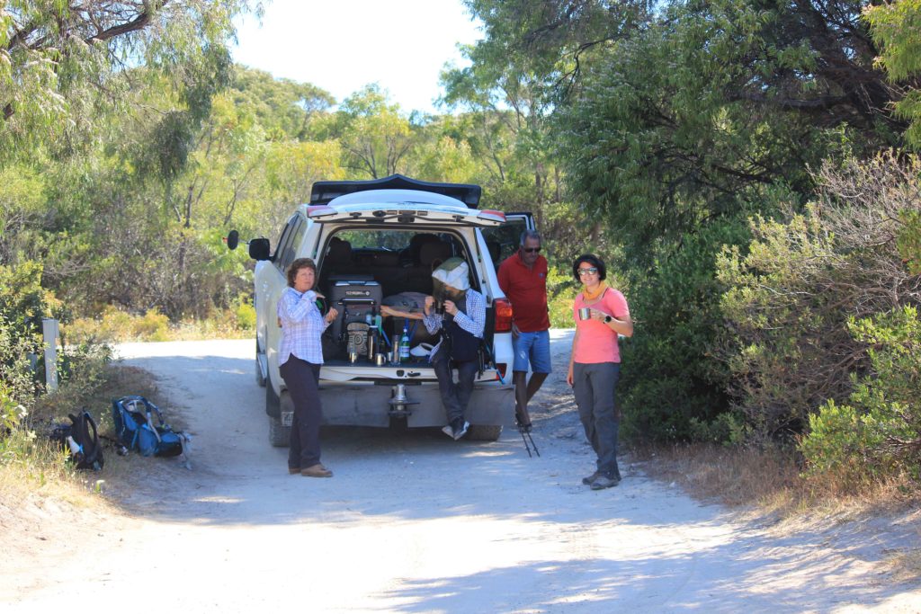
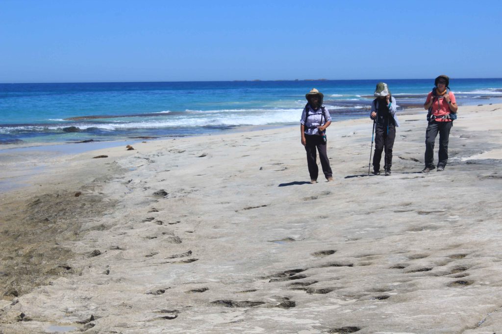
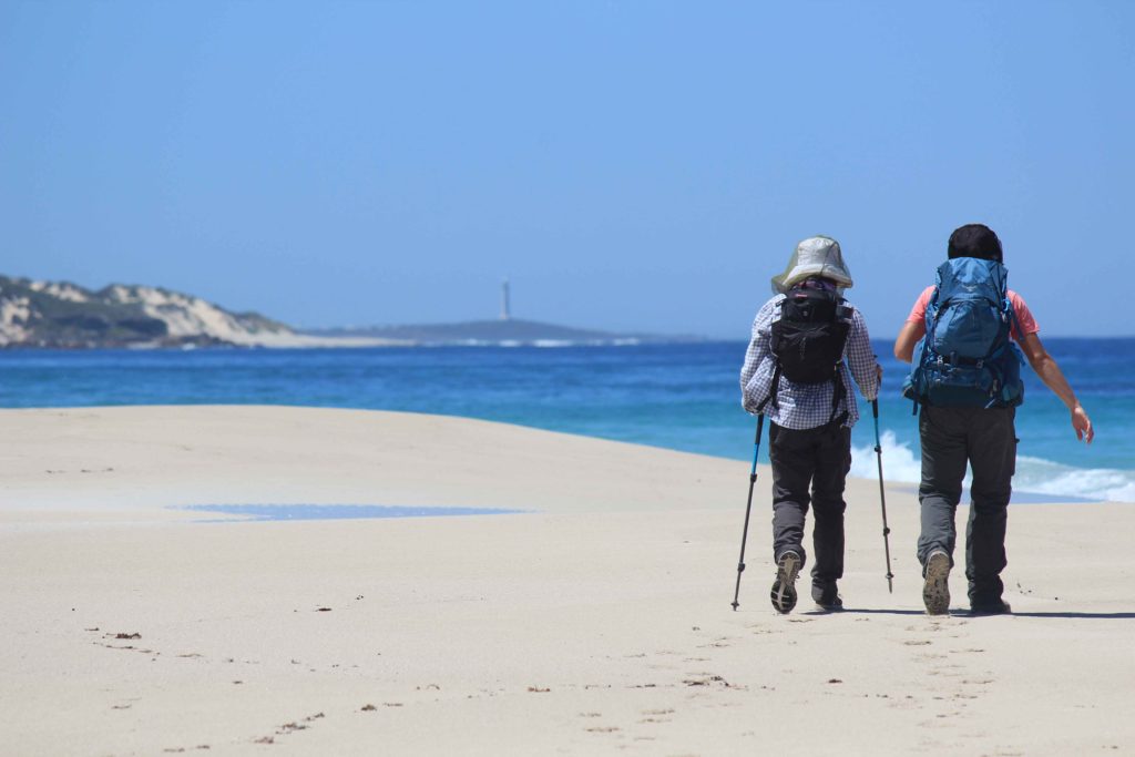
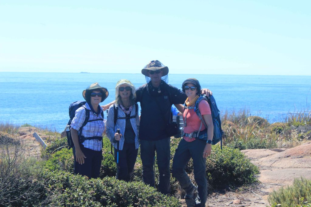
Day 1 of our trek started bright and early the next day with the alarm going off far to early for me.  I think I might have over indulged with hydration drinks the night before as I was very keen to stay in bed.  Any how it was up and at them and time to get the walking underway.  There were only the four of us walking the trek, Vicki, Kaye, Renae and myself.  Rob was staying back and being our drop off and pick up person each day as well as meeting us at prearranged places for morning tea and refreshment breaks.  We were doing it tough you know on this trek.  Having Rob available to do this for us on the trek was a real bonus and made the trek so much easier for us all.

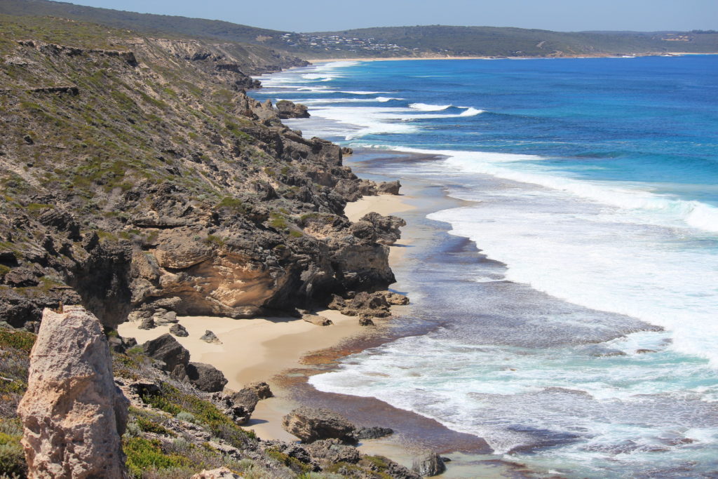
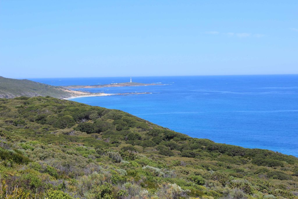
Any how after the shock of the early rise in the morning, Rob dropped us off at Cape Naturaliste and after a few hugs and farewells it was off on our first leg.  Day 1 was to be just over 23 kilometres in duration, a piece of cake.  The weather for our first day was absolutely perfect  The forecast for our whole time away was actually very good with the weather gradually warming up as the week progressed.

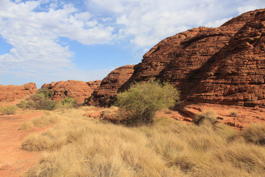
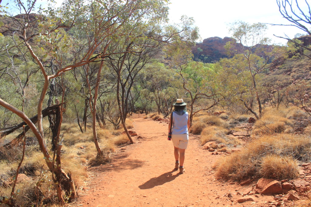
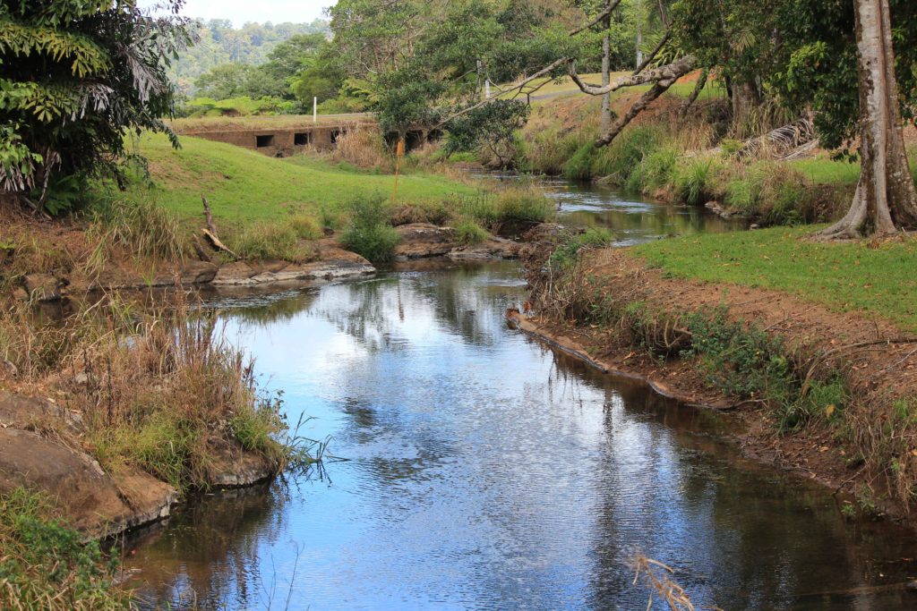
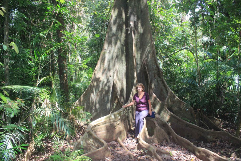
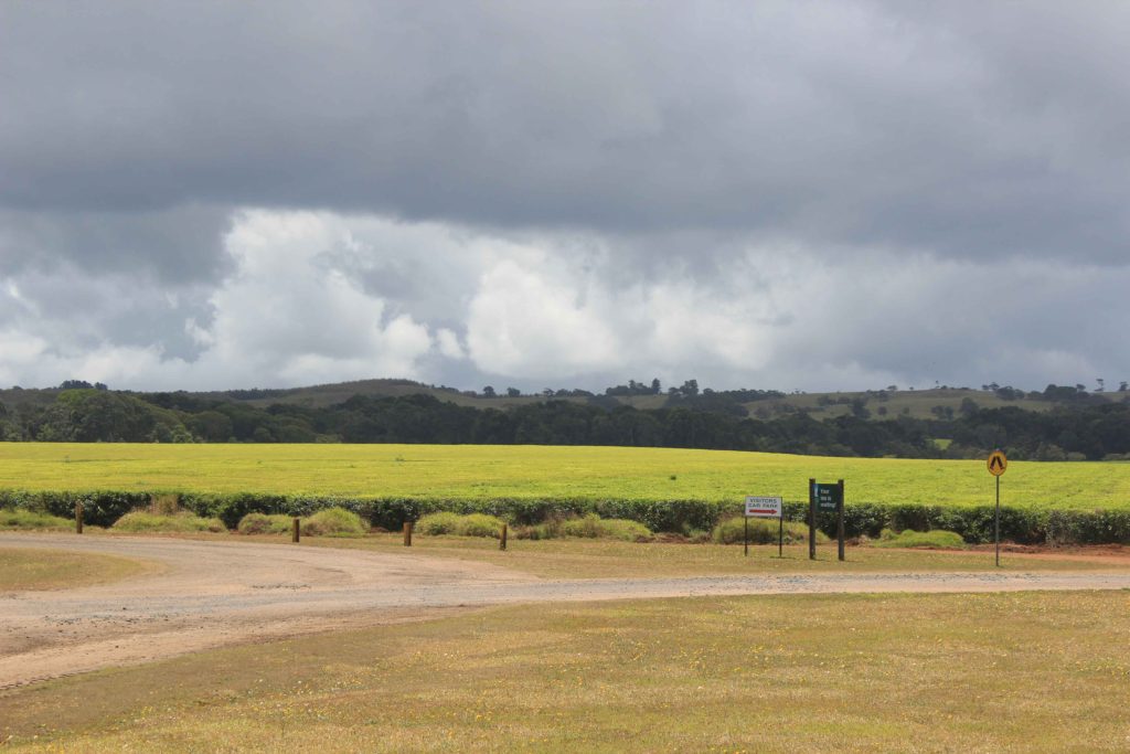
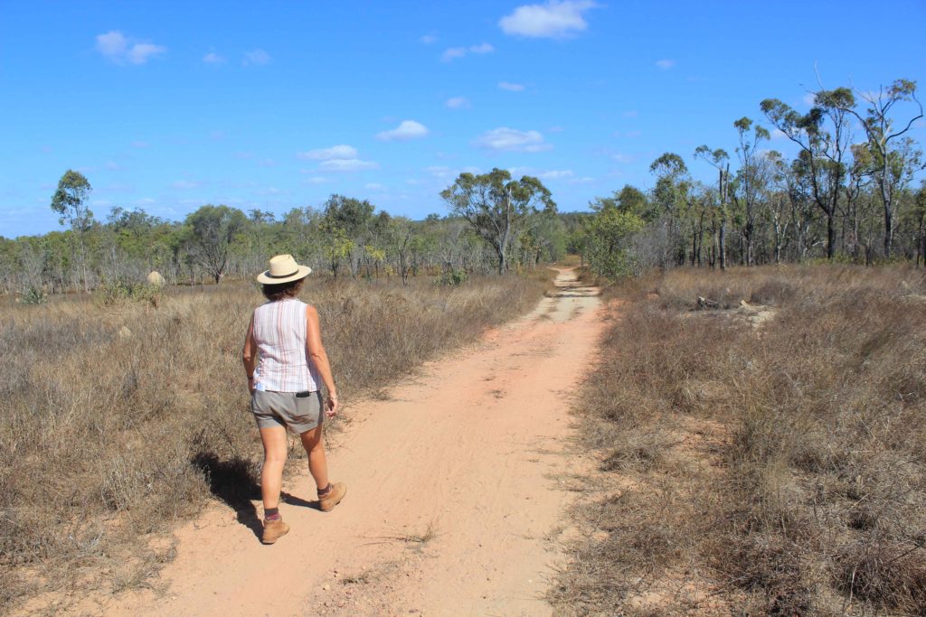
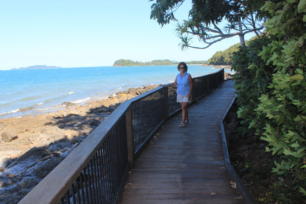
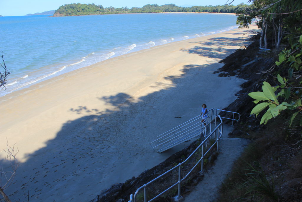
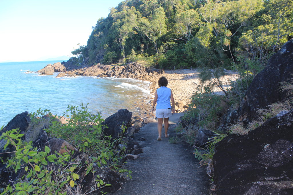
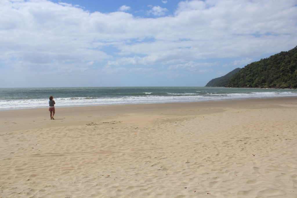
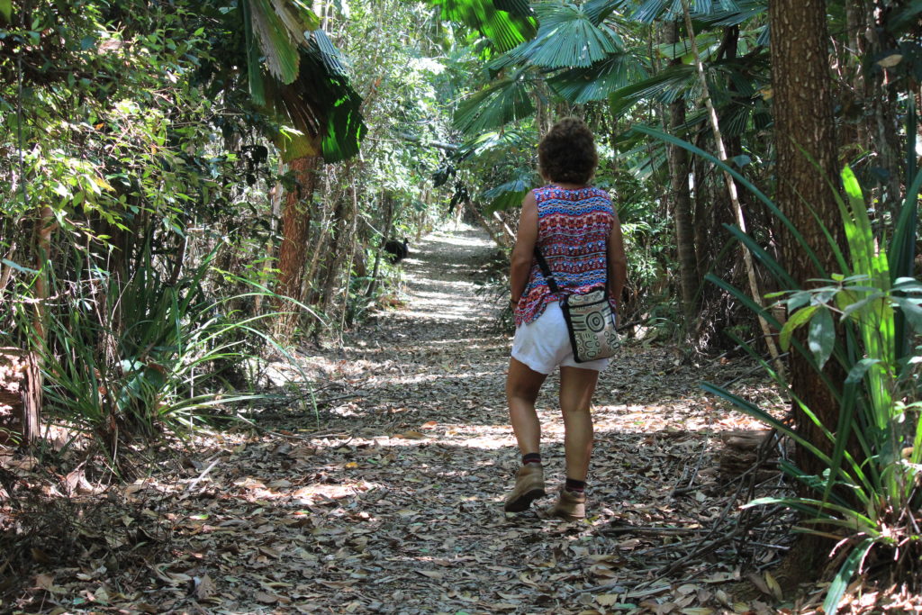
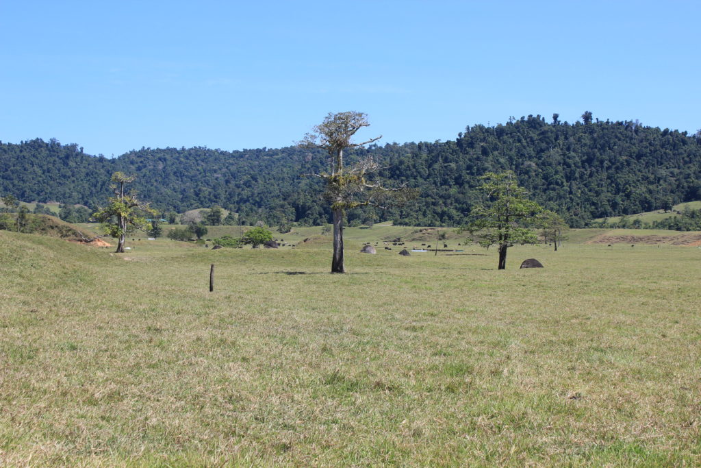
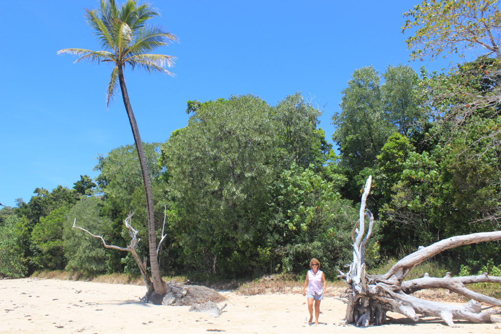
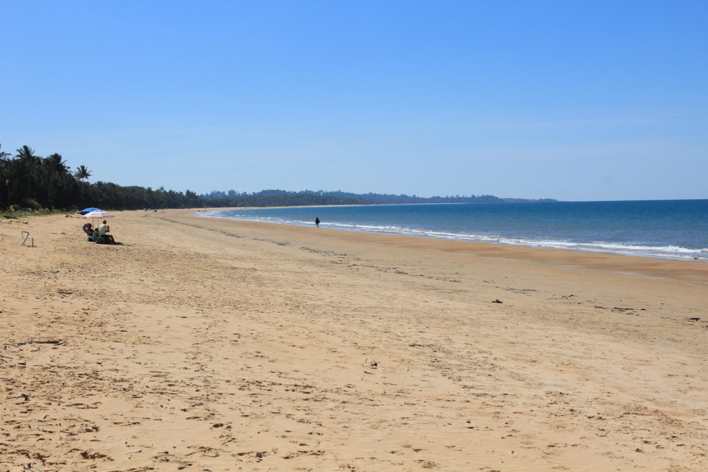
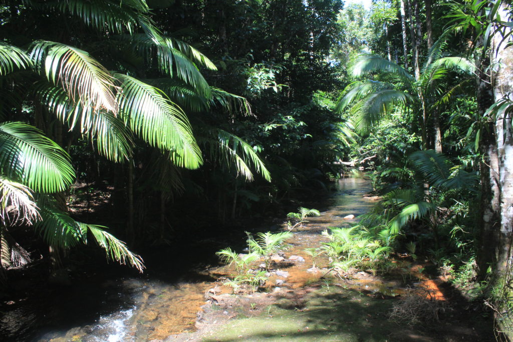
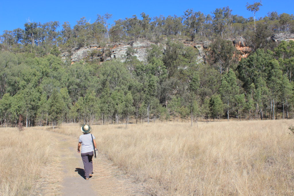
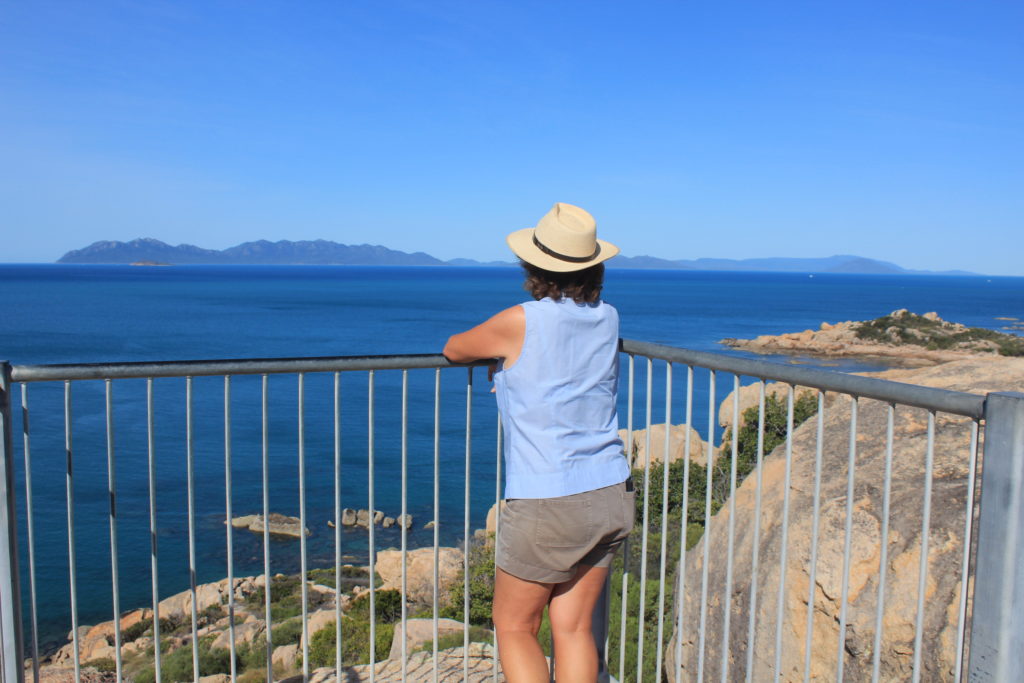
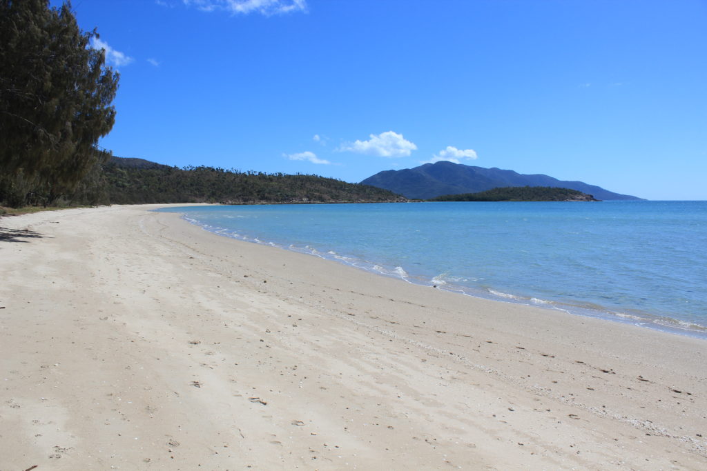
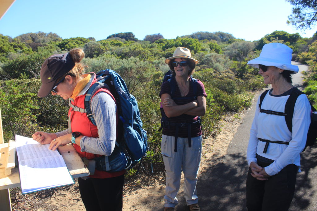
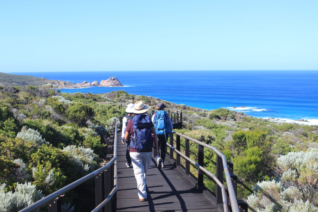
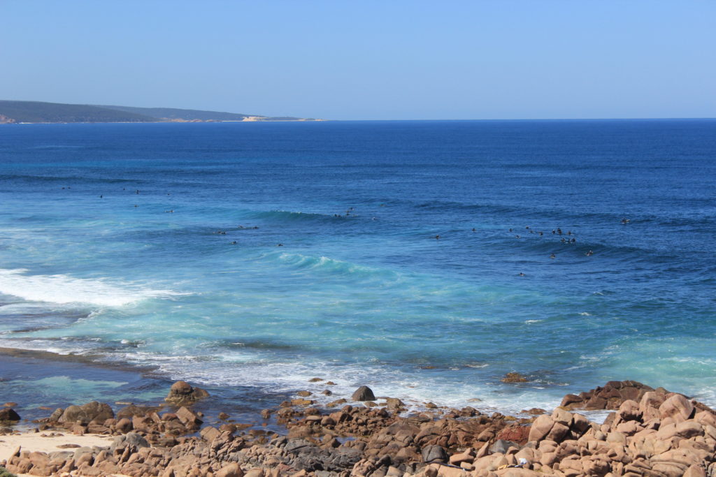
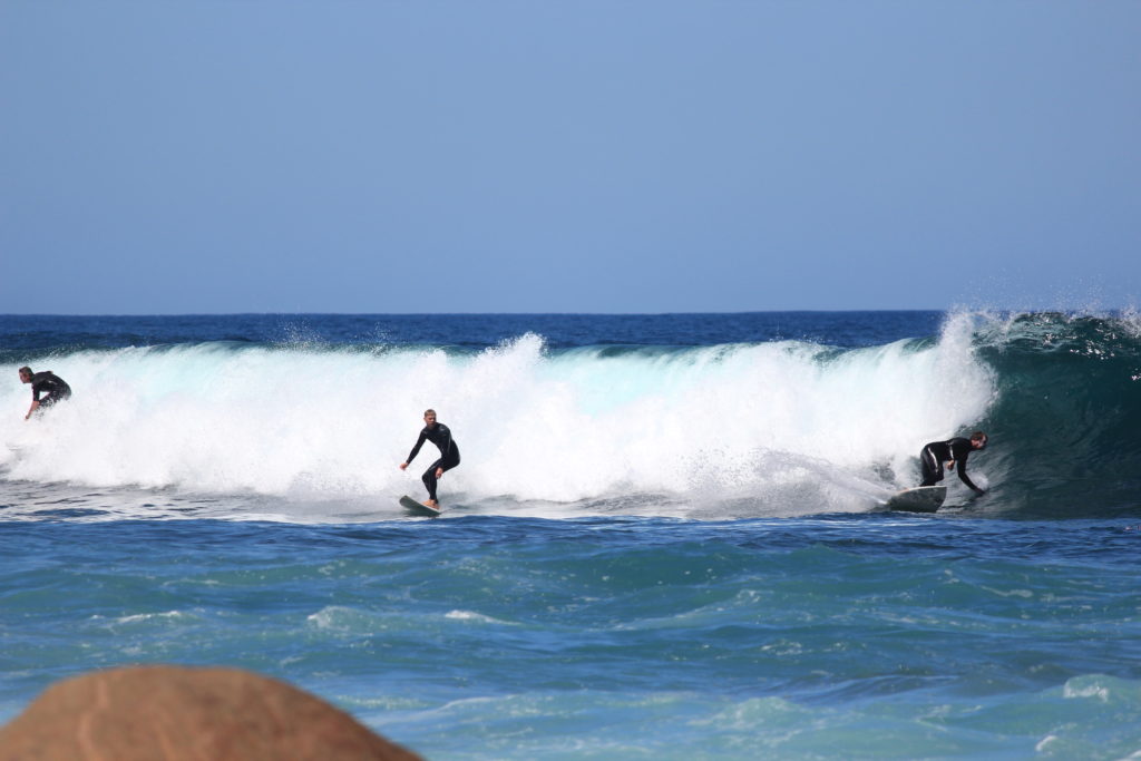
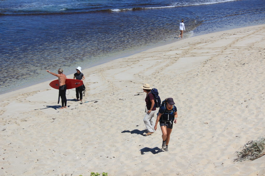
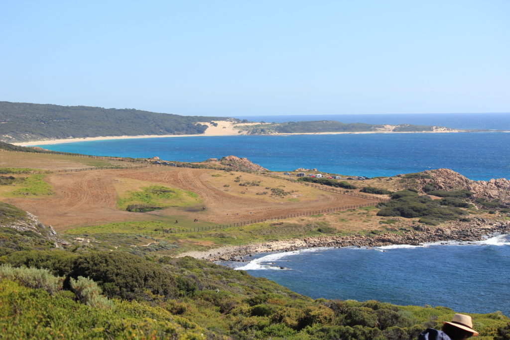
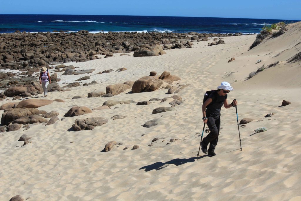
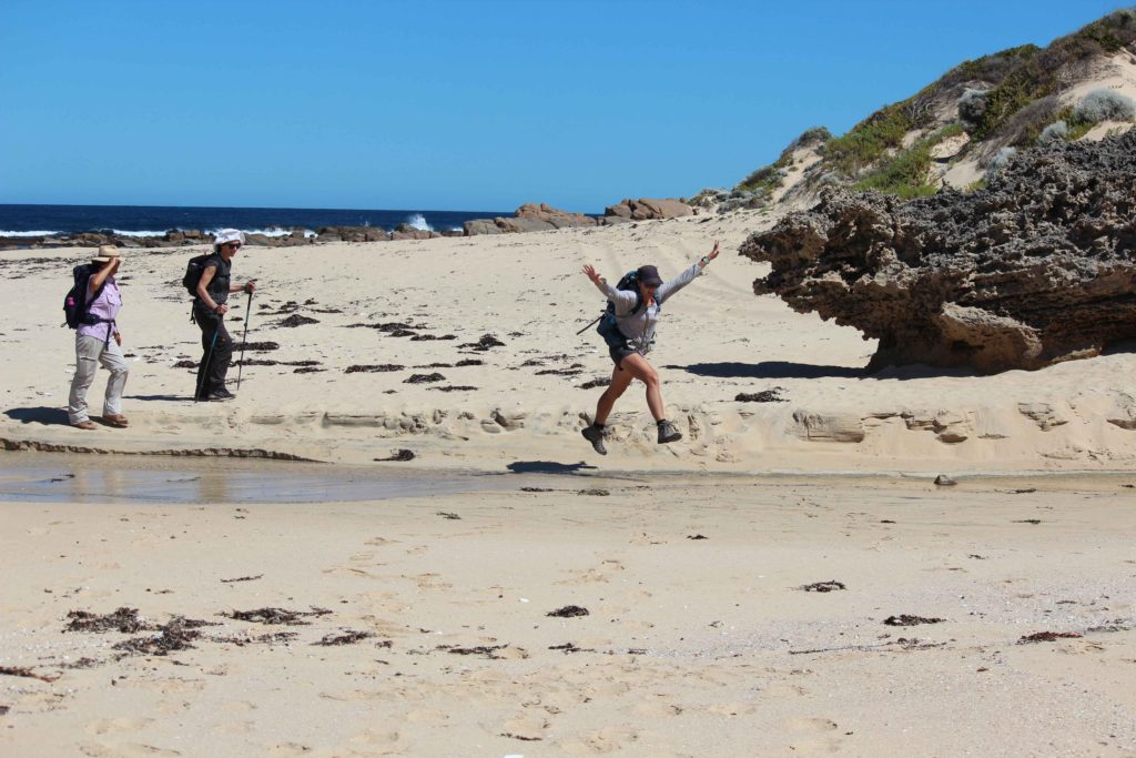
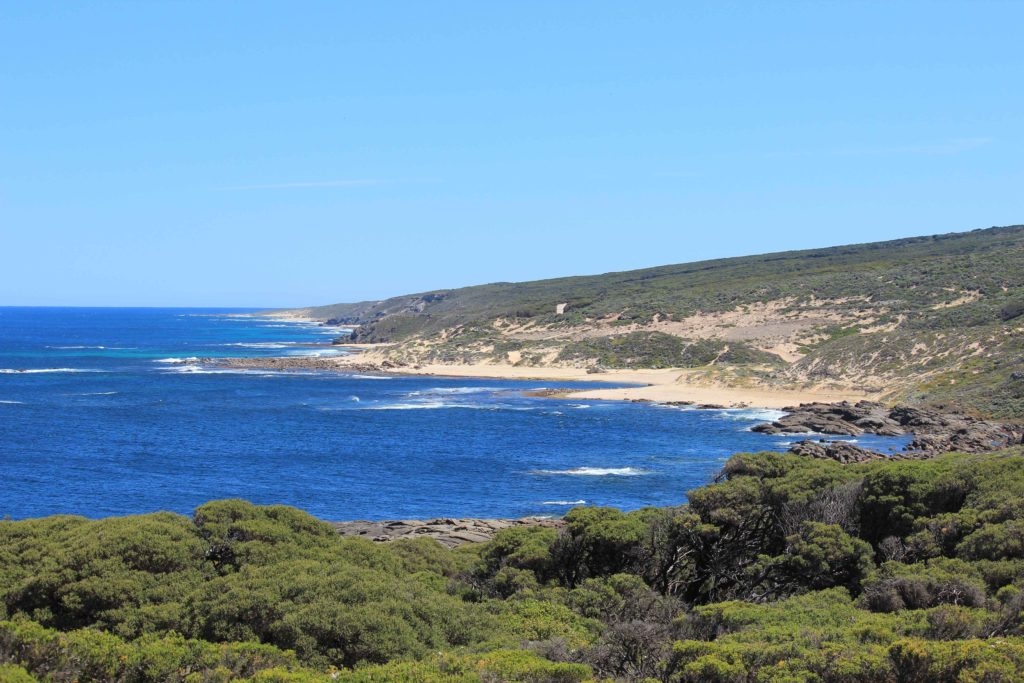
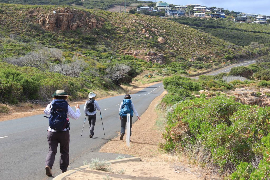
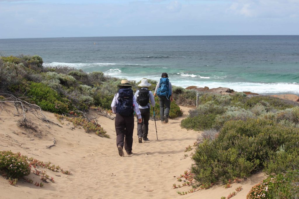
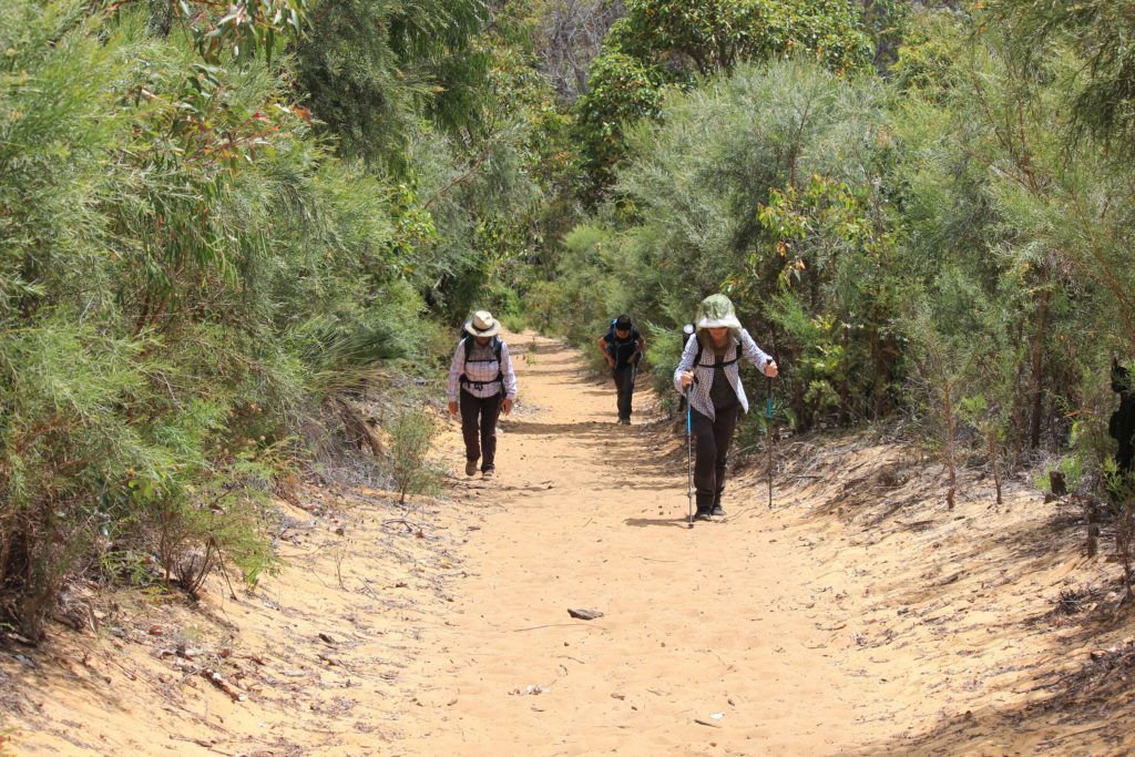
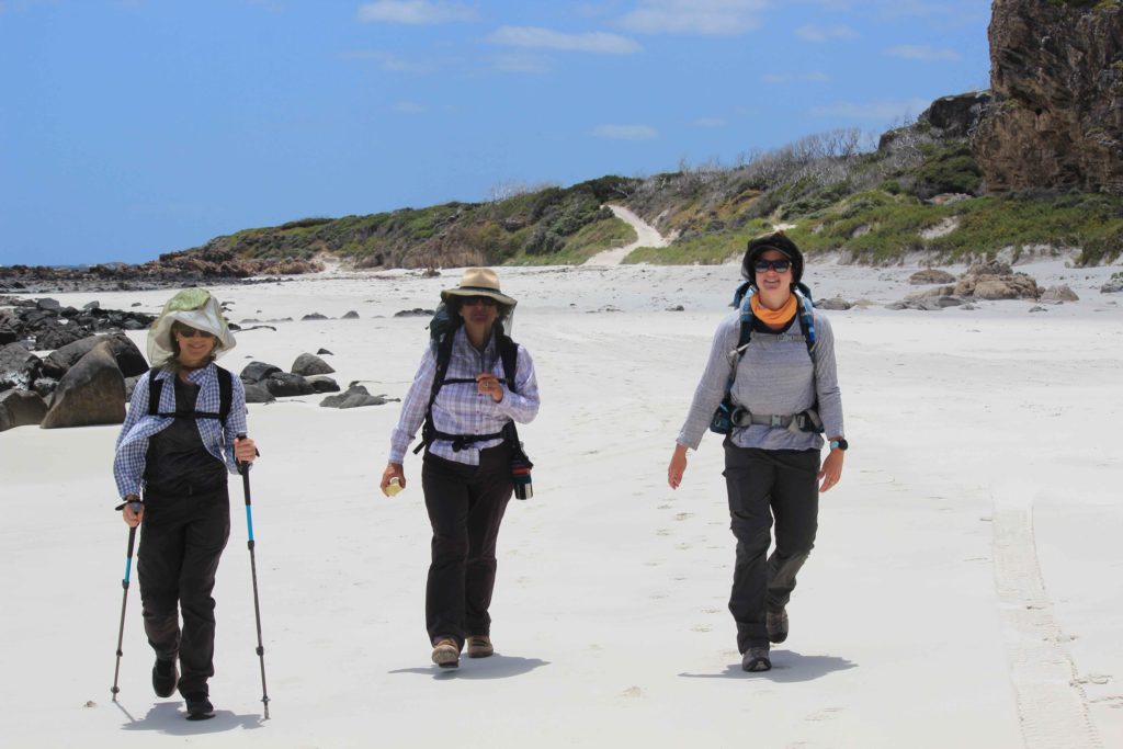
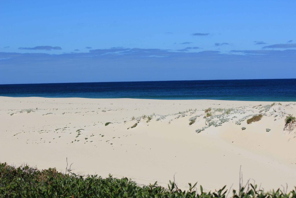
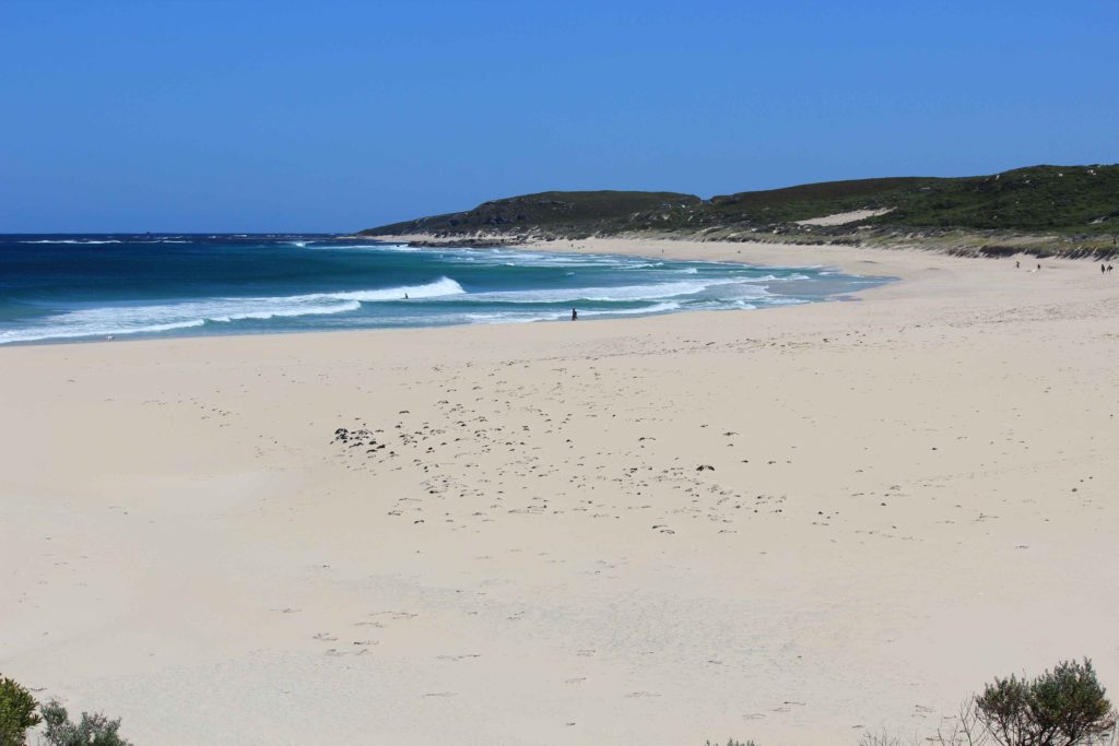
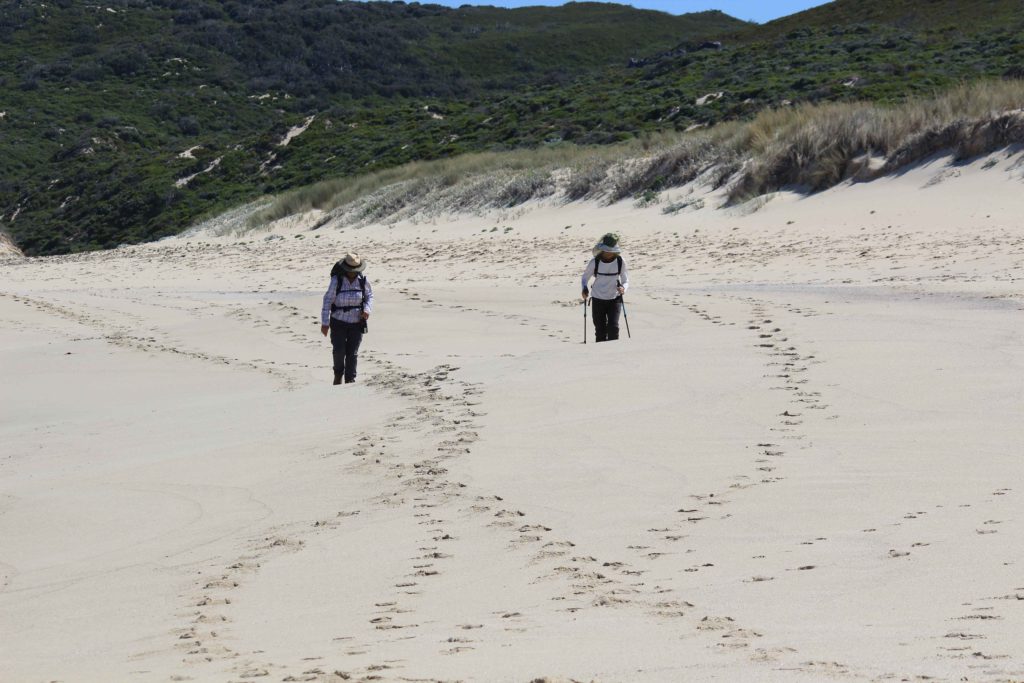
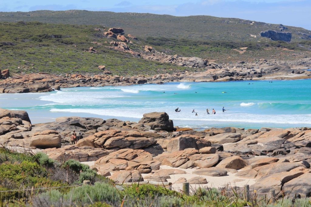
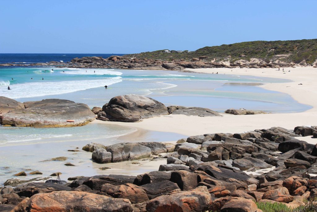
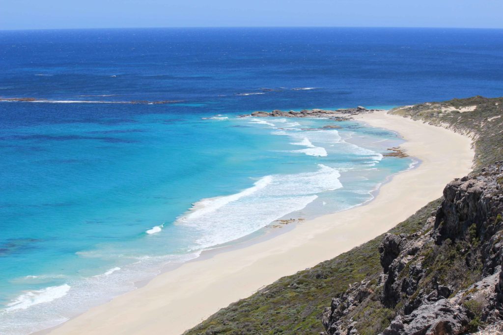
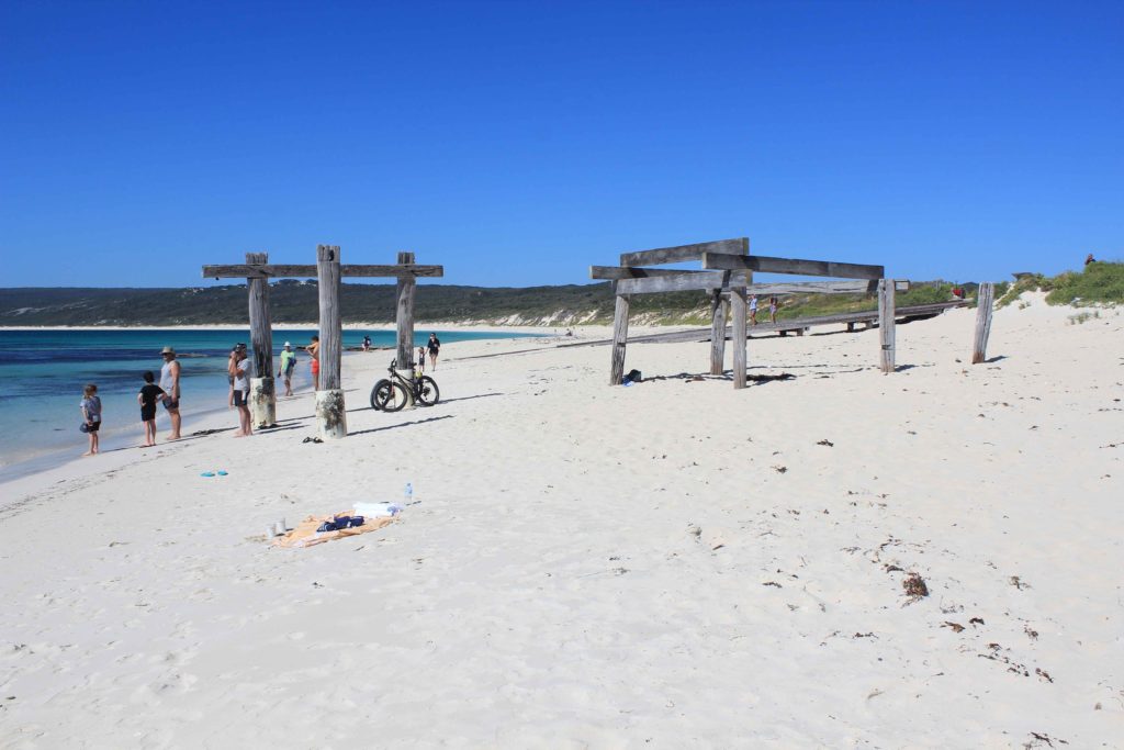
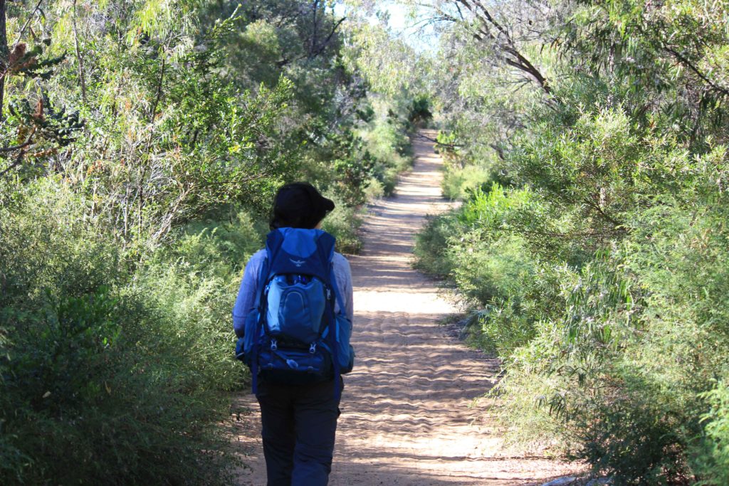
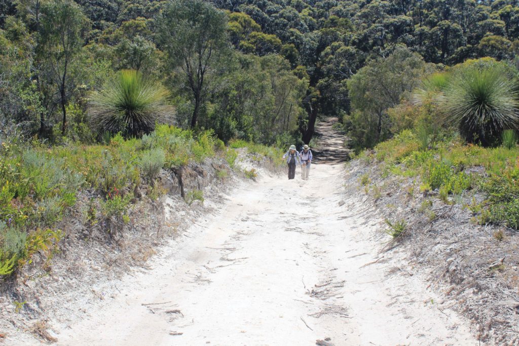
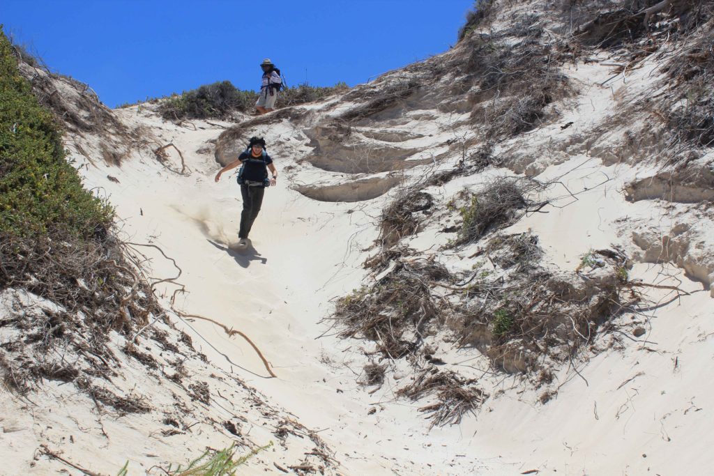
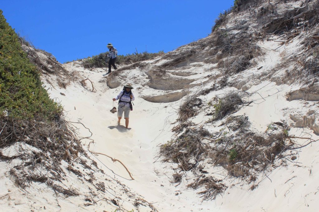
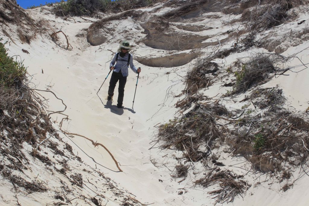
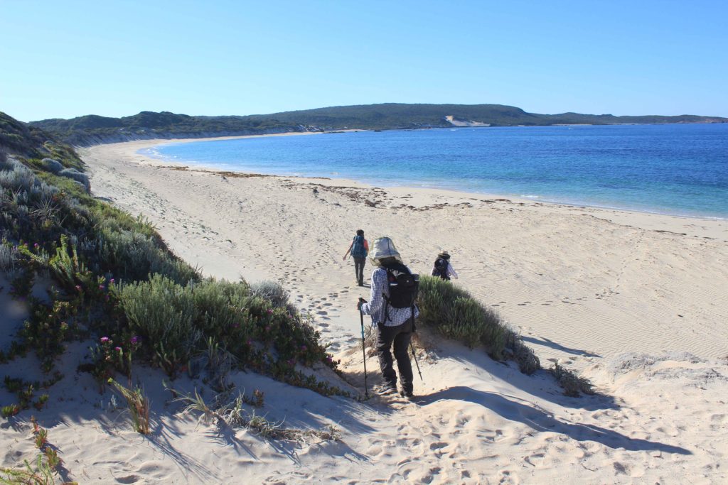
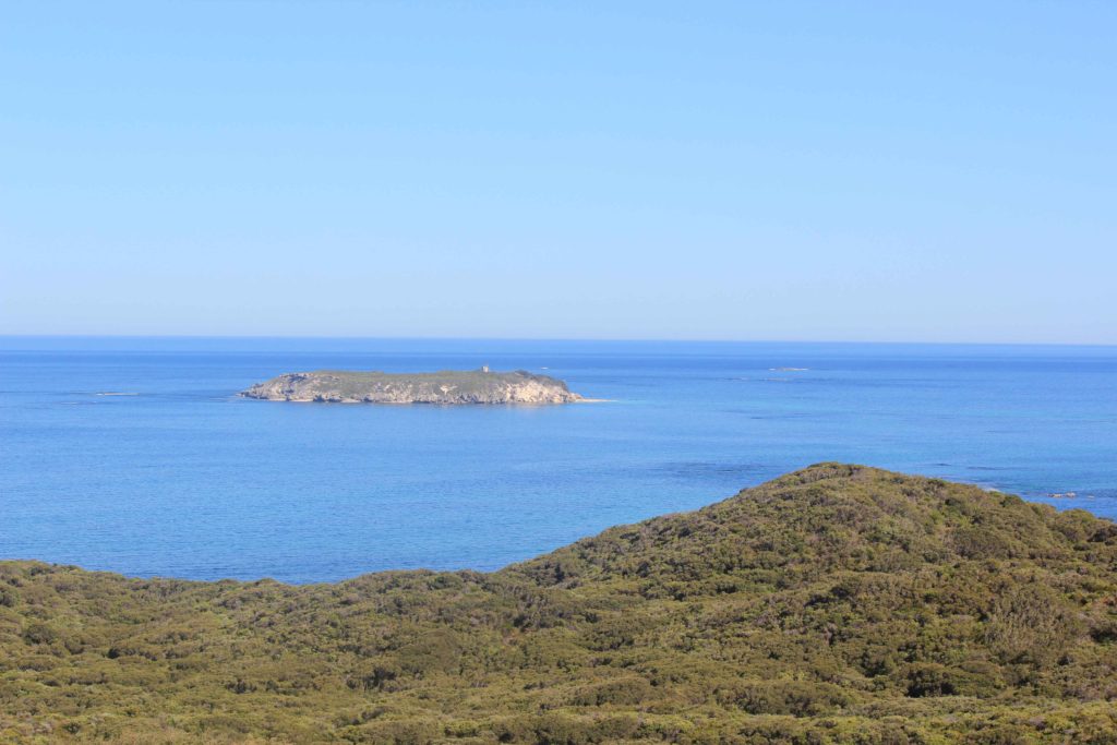
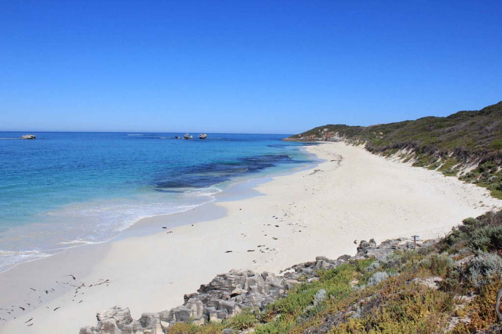
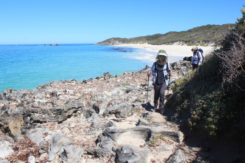
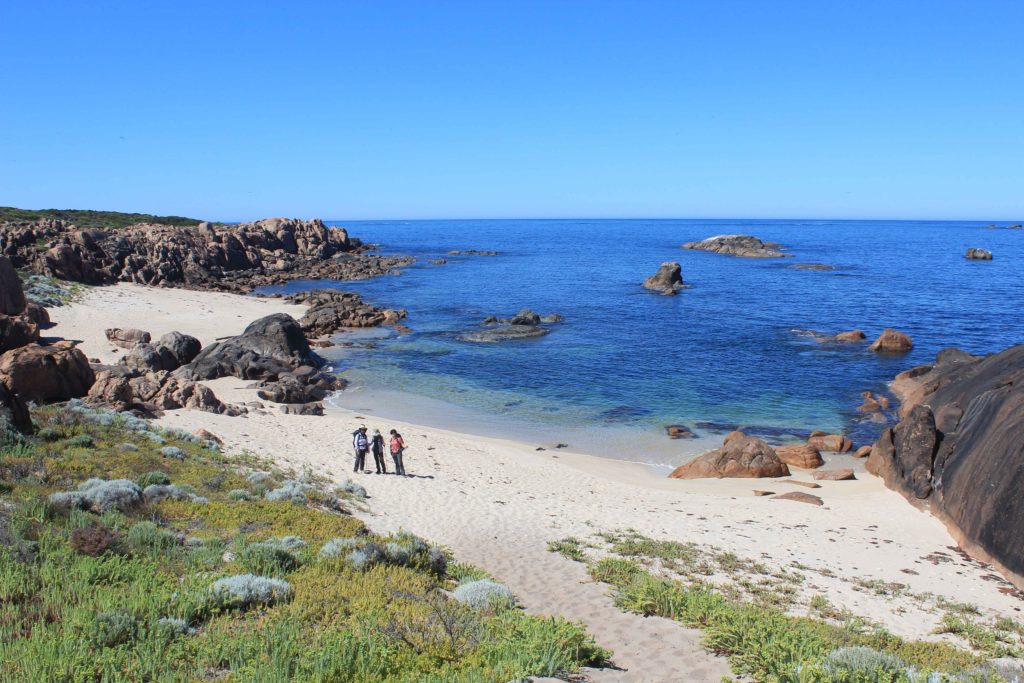
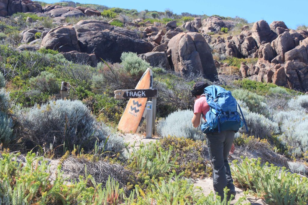
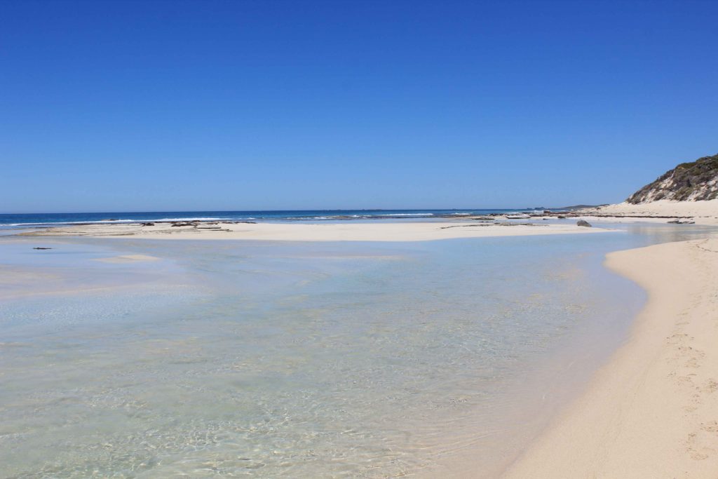
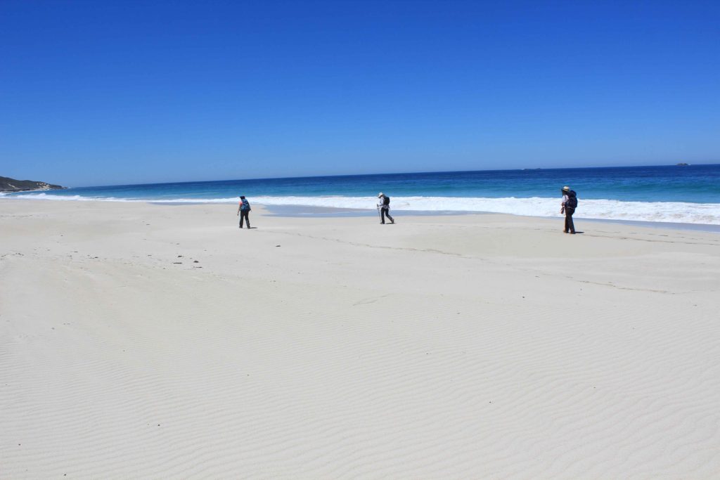
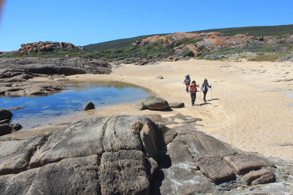
After registering our names in the hikers book at the beginning of the trek we started off in high spirits with Renae leading the way as she would end up doing for most of the trek, dragging us older ones along behind her. The track at the beginning is excellent and is paved all the way to Sugarloaf Rock.  You start to see some pretty impressive views almost straight away and with the weather the way it was the flat blue ocean made them even more special.  We walked until Three Bears surf break and stopped for our morning tea break.  There were lots of surfers out enjoying the conditions and it was very nice sitting back at watching them.  Also from here we started our first beach walk which was to be the first of quite a few and we also had some fun climbing sand dunes which we were going to encounter more of as the days went by.

Mt Duckworth campsite was a welcome rest stop for us.  This is a nice shady area that is quite well set up for the walkers on the trek.  The facilities were pretty bare but suitable for people doing the trek.  There was also a resident magpie in the campground that didn’t appreciate our presence and was swooping us all the time we were there.  We got to Yallingup around lunchtime and went up to our caravans for a break.  Told you we were doing it tough on this trek  By this stage we had done around 14 kilometres and I personally was ready to call it a day. Anyway after a short break and some food we headed off again.

From Yallingup it was along Smiths Beach and then inland a bit to Canal Rocks.  The afternoon had warmed up a bit and we were all starting to feel the heat.  We met Rob at Wyadup (Injidup Natural Spa) for afternoon tea.  From here we had a long trek along Injidup Beach that really sorted us out.   The sand was quite soft on this beach and the going was pretty tough.  We were all glad to finish this first day in the end.  We started off with great enthusiasm and finished pretty tired.  Only five more days of walking to go now though.

Day 1 Fun Facts;

Distance – 23.62 km

Calories used – 2052 

Ready to go on Day 1 – Team Riedle
Signing the hikers book at the start of the track
Nice easy start to the track on walkways
The great views started very early
You got to see coastline only accessible by foot
Stunning blue ocean
Surfers at Three Bears
Morning tea break at Three Bears
Vicki asking a random surfer how far have we got to go – and it was only Day 1
Still all smiles on Day 1
Coastline near Yallingup
Start of our walk along Smiths Beach
Smiths Beach
Climbing over Canal Rocks
Not far from Injidup Beach and the end of Day 1
You did get to walk along some big sand dunes

Well we survived Day 1 pretty good and so Day 2 couldn’t come quick enough. 

Day 2 – Injidup to Gracetown

Day 2 and I am already over this alarm  I thought these early get ups were something I stopped doing over four years ago when I retired.  Anyway with renewed gusto we were dropped off by Rob at Injidup and were walking before 8am.  Today’s walk was around 22km and looked similar to the previous days walk when looking at the map.

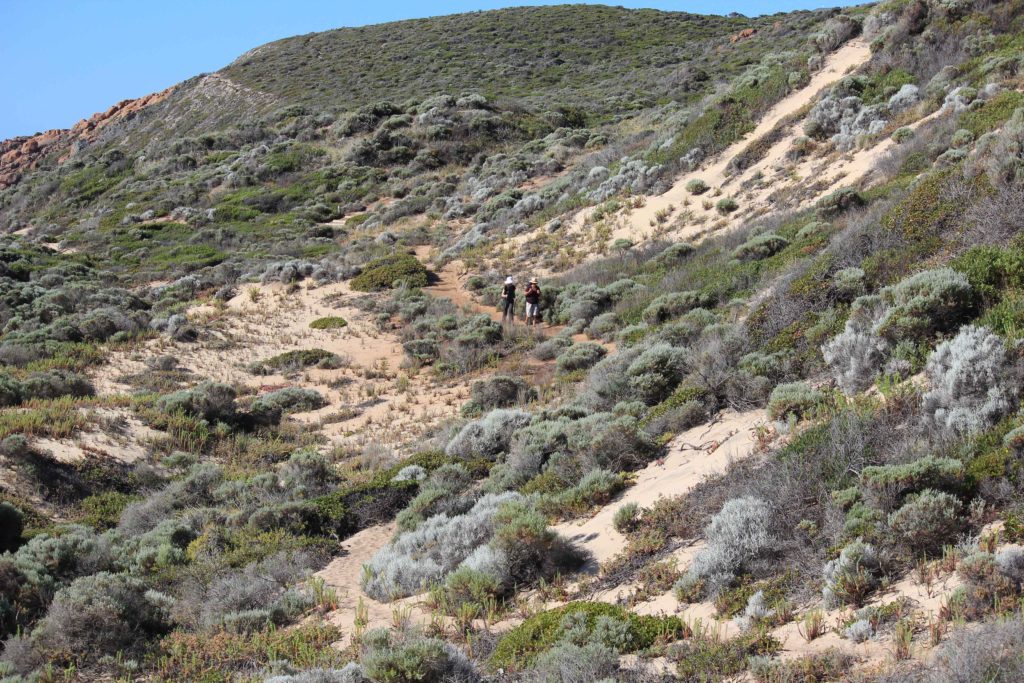
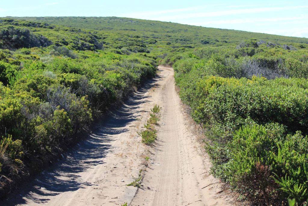
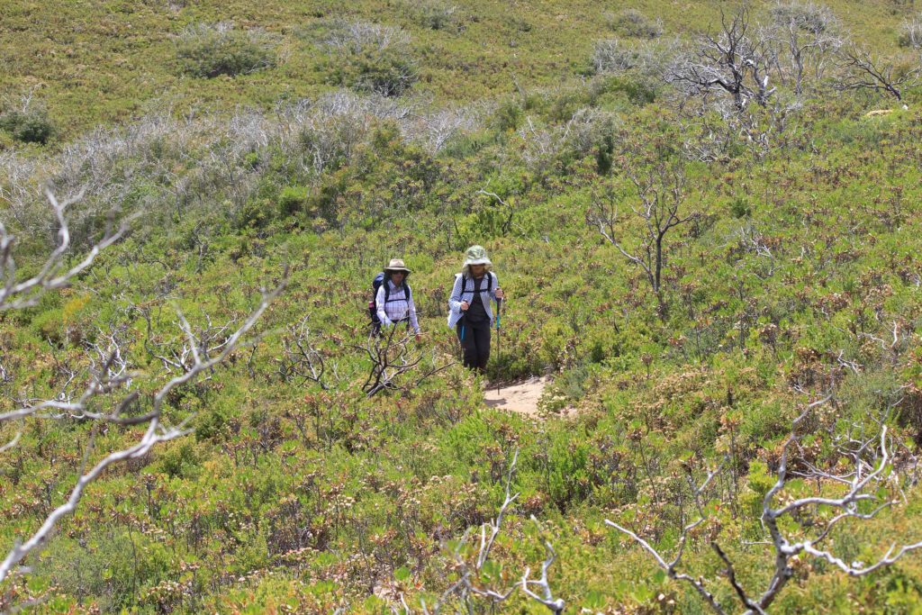
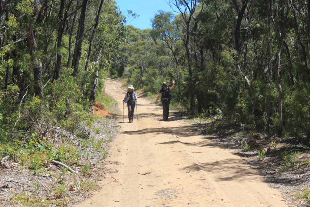
The walk started through some nice green bushland that was quite high up off the beach.  This lasted for a little while then changed to some 4wd tracks.  Over the next five days the trek was going to take us along quite a few of these types of tracks which are a bit boring to walk along.  Being quite sandy along these tracks we were also getting a lot of reflective heat coming off the sand which made the temperature seem even hotter. The breeze was almost non existent today as well which didn’t help.

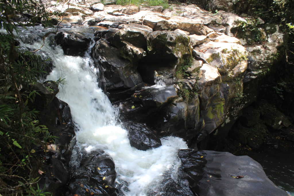
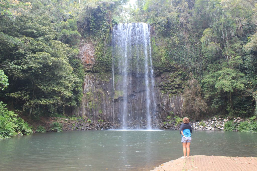
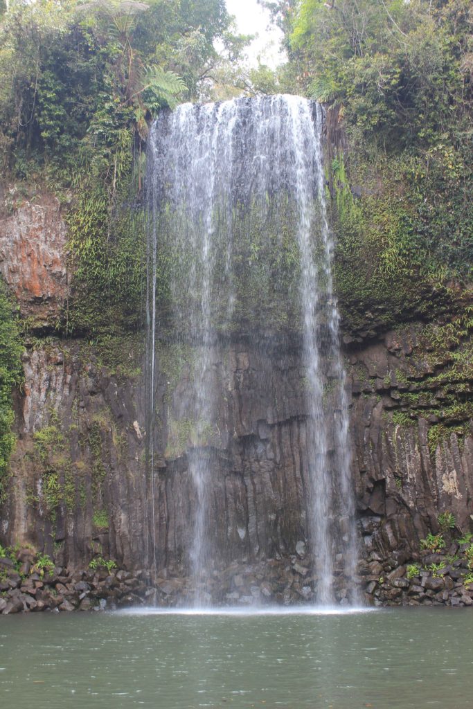
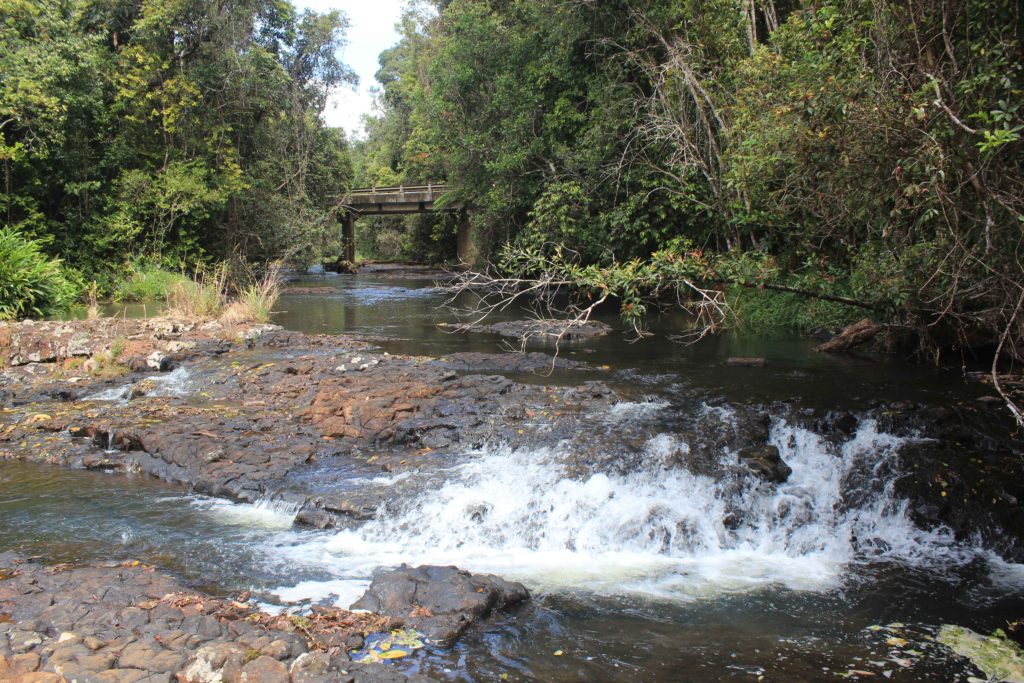
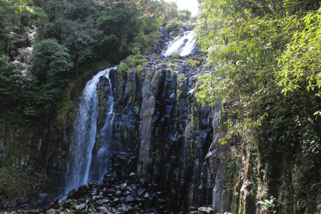
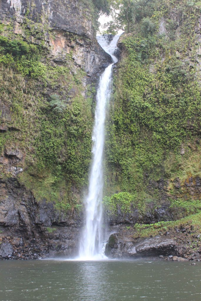
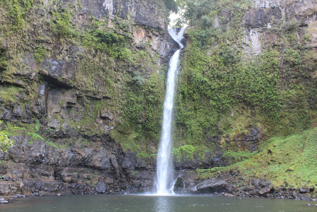
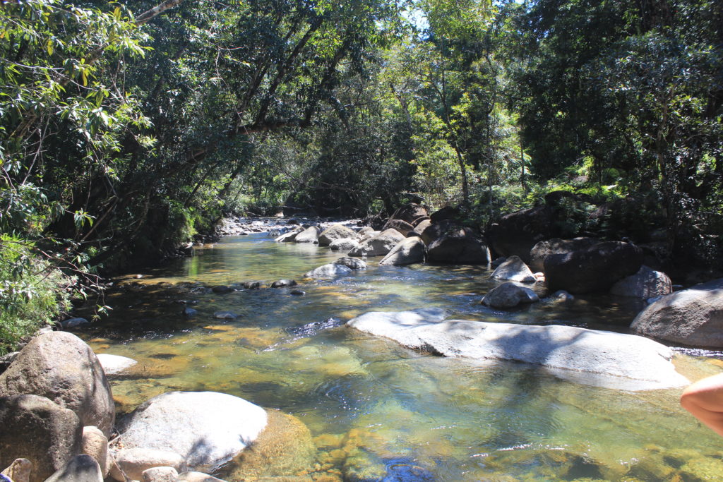
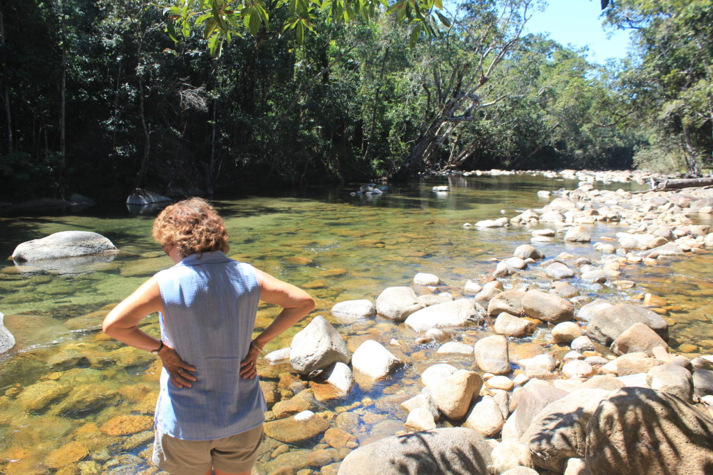
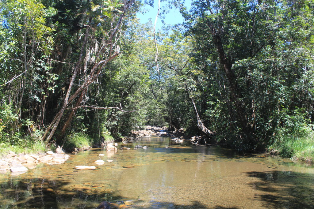
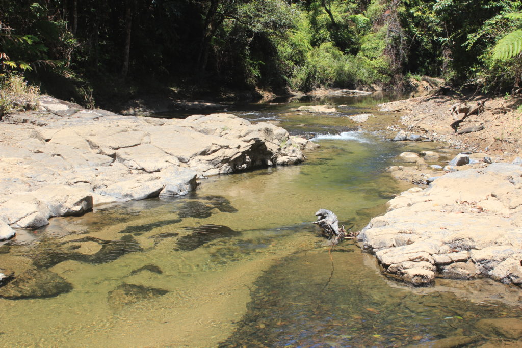
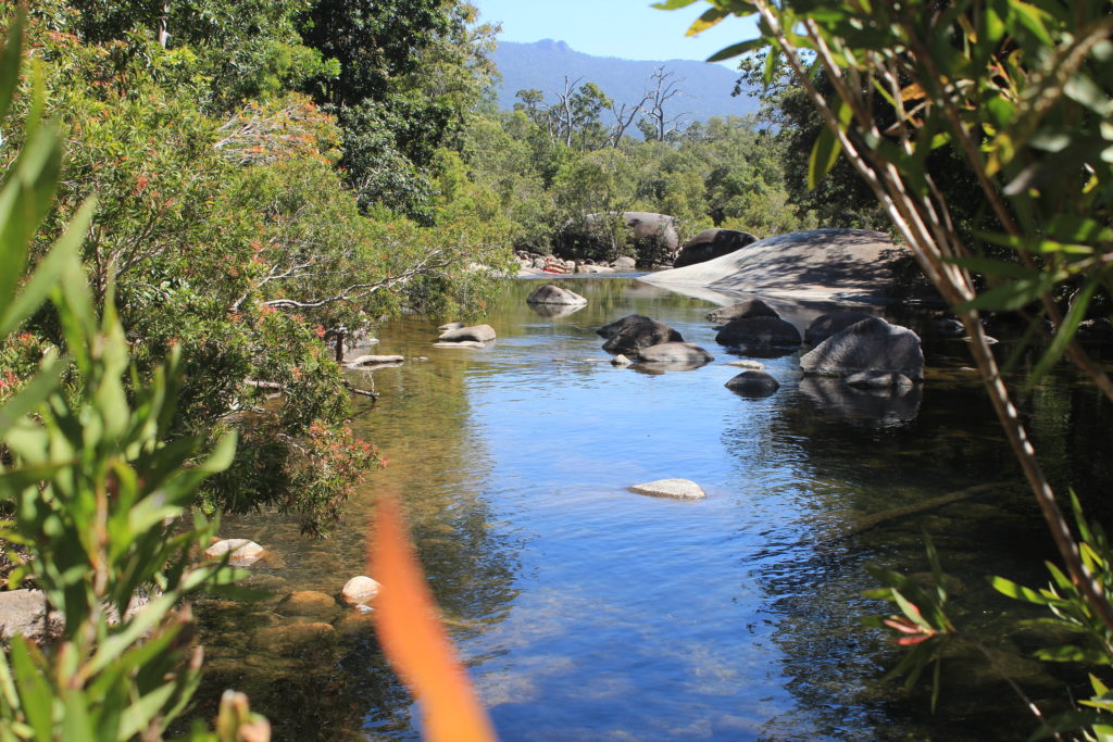
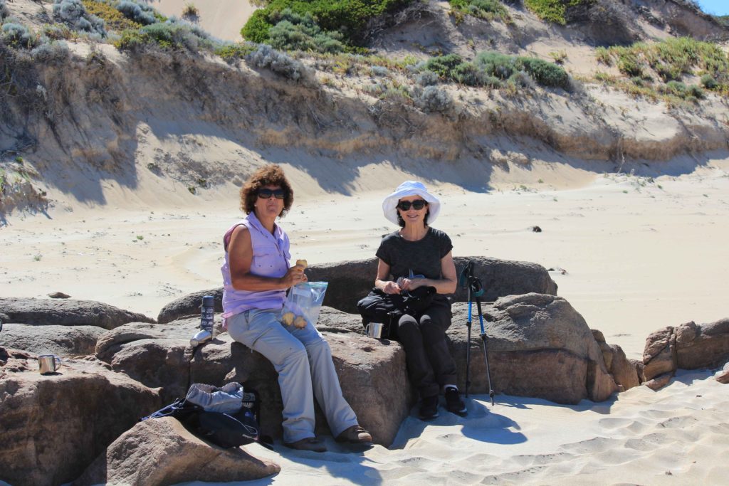
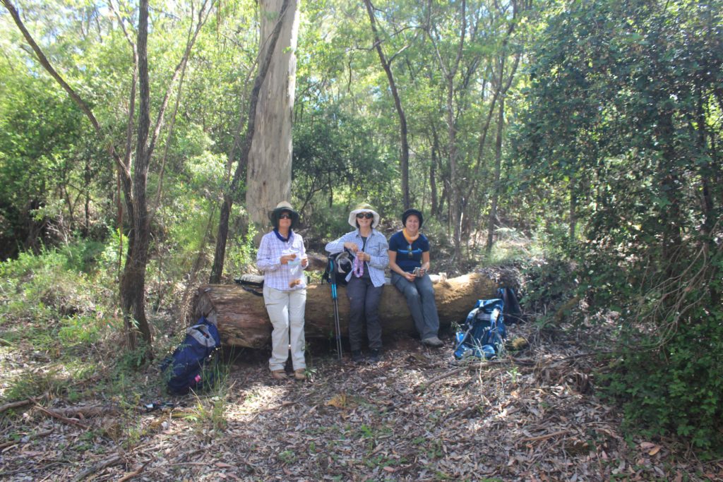
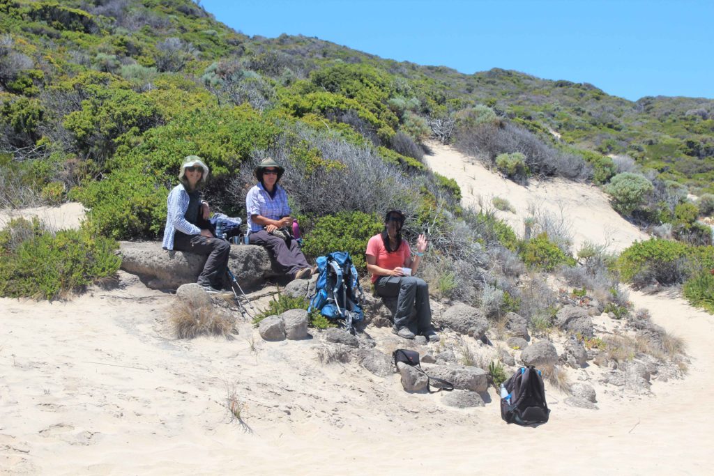
We stopped at Quininup Beach for a very welcome break and morning tea.  Near this beach are the Quininup Falls that had a slight trickle of water going over them and into the creek that flowed into the ocean.  Just after you walk past the creek you are greeted with a nice large sand dune that is quite steep.  As the sand was warming up, climbing this sand dune was not fun at all.   From here you walk to Moses North and then Moses South.  It was at Moses South that we met Rob for lunch.  Having Rob run around for us was so handy as we didn’t have to carry everything on the days we could catch up.  It makes a big difference when you don’t have to carry all your daily supplies. 

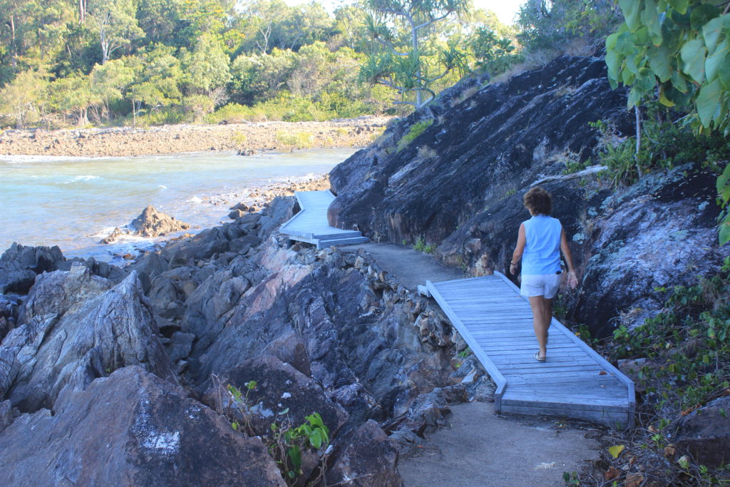
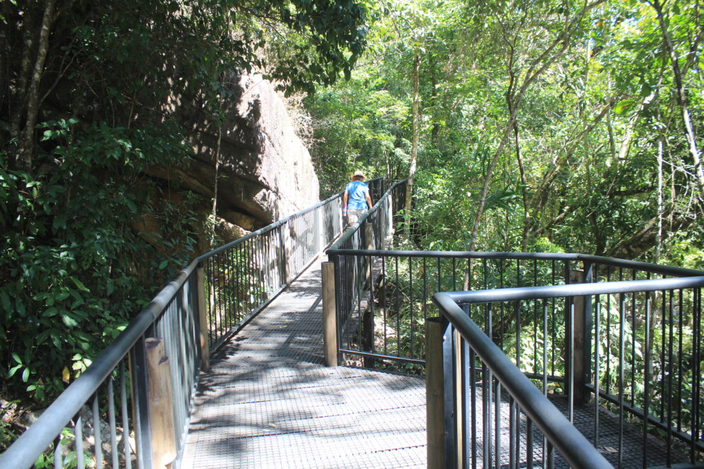
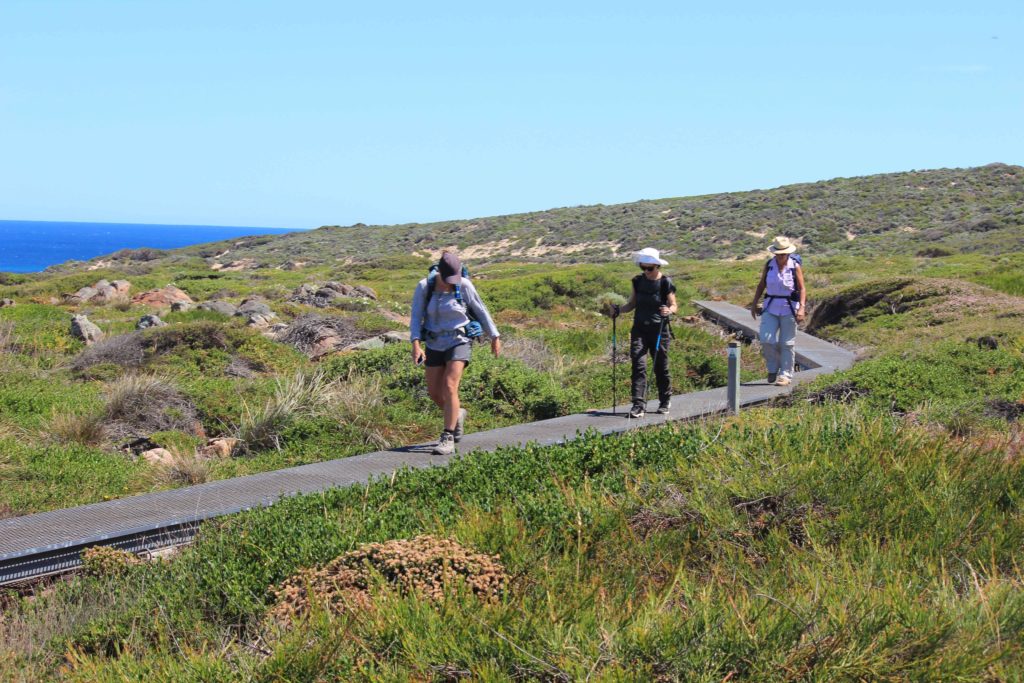
After lunch we walked along Willyabrup Beach for a short distance where we crossed a small creek and then it was up another very steep sand dune.  Willyabrup Beach had quite soft sand to walk on and having a steep sand dune at the end to climb was not what we needed.  It felt like you climbed three steps up and slid in the sand two steps back going up this dune.  Hopefully there were less of these in the next few day ahead.  Once on top of the sand dune the terrain changed quite suddenly to an area that would be quite boggy in wet weather.  Here they have erected a short boardwalk section to walk on.  Made a nice easy change after all the sand. 

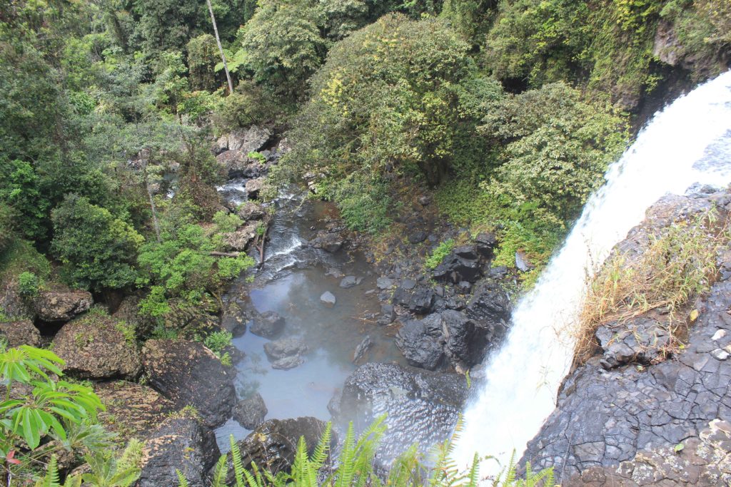
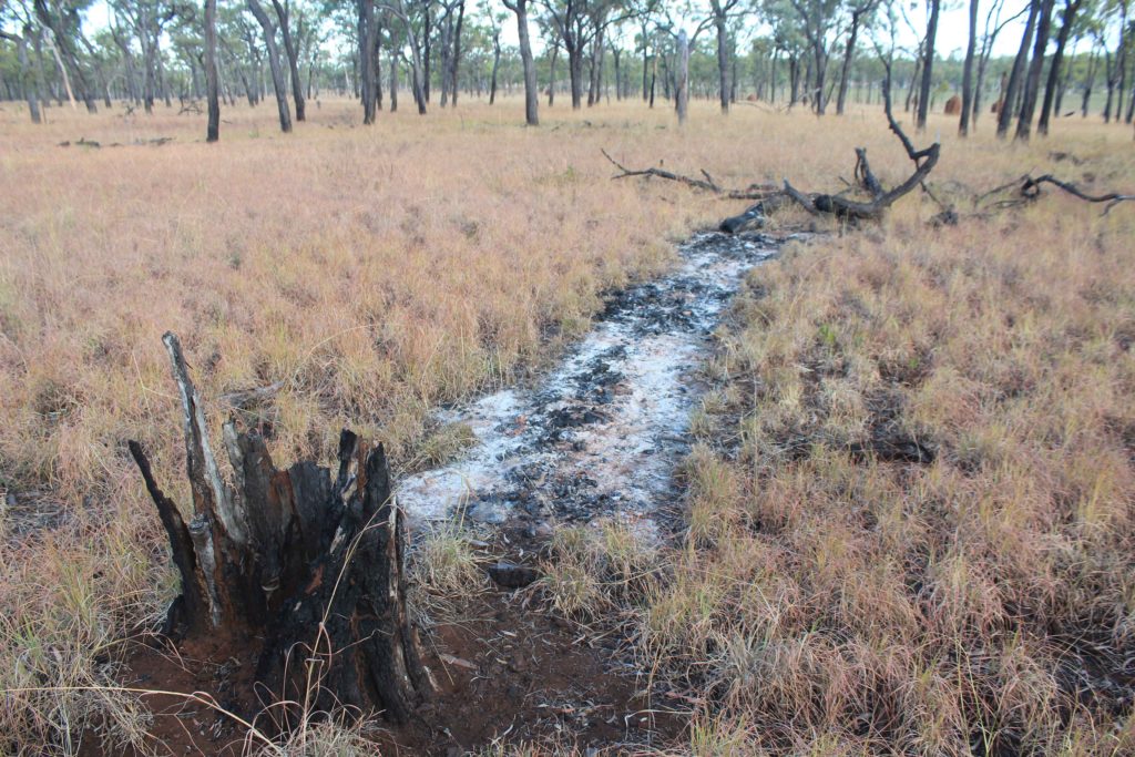
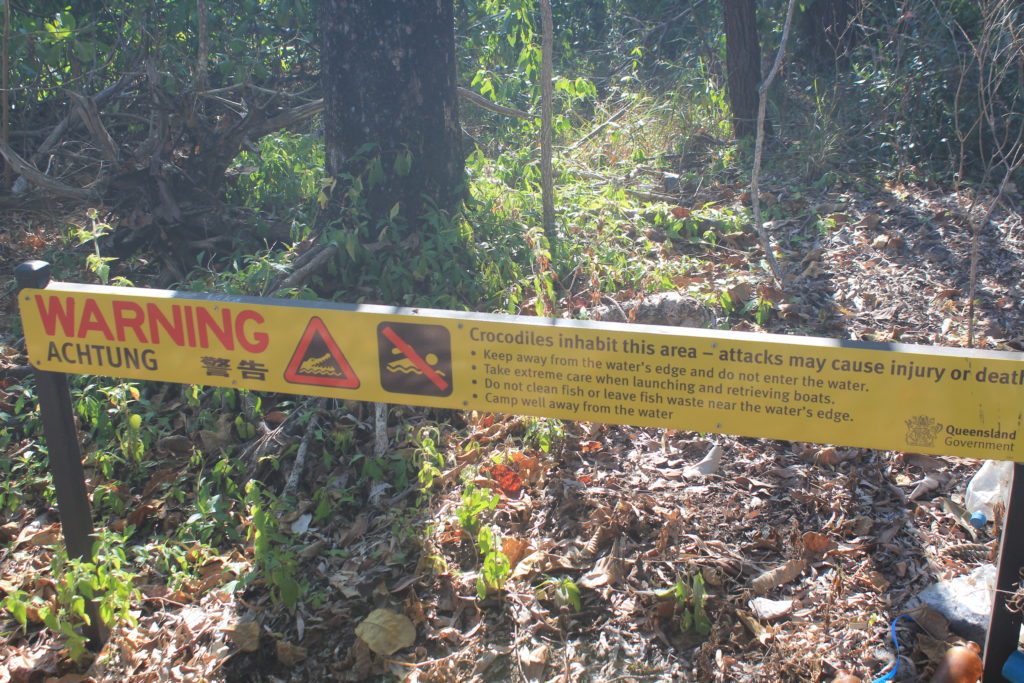
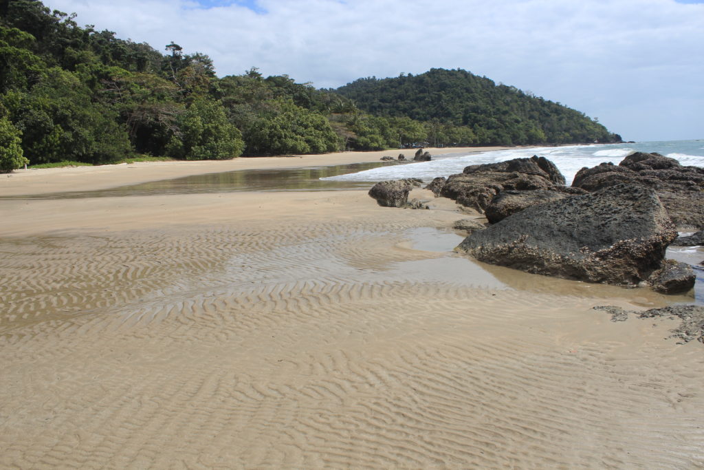
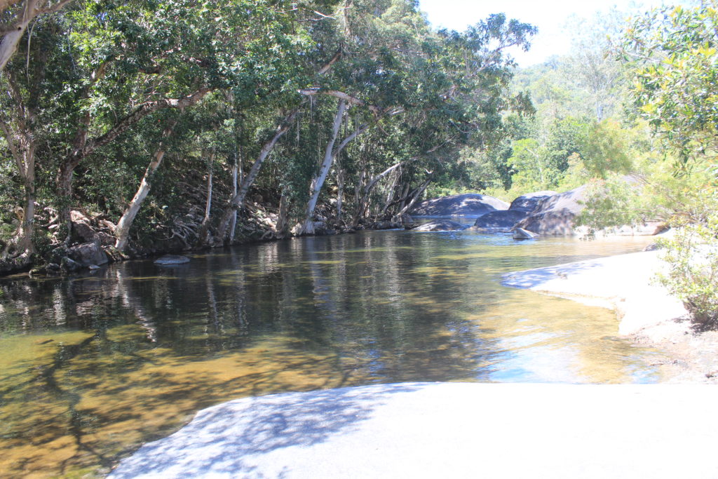
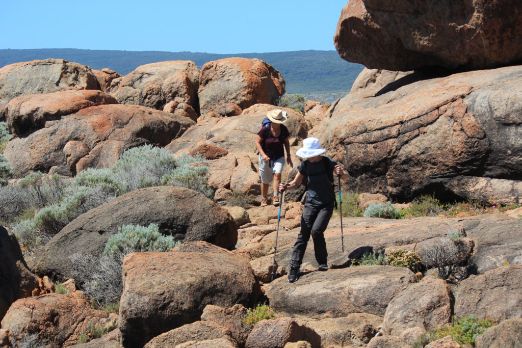
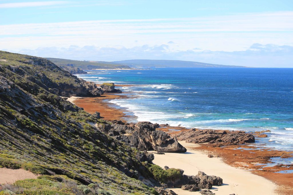
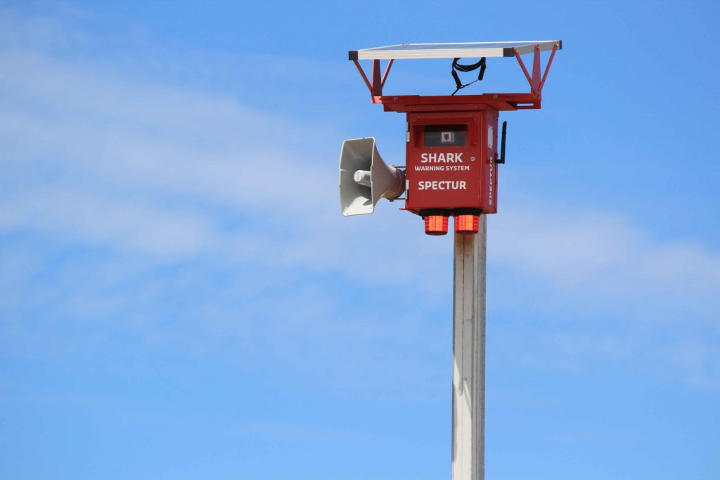
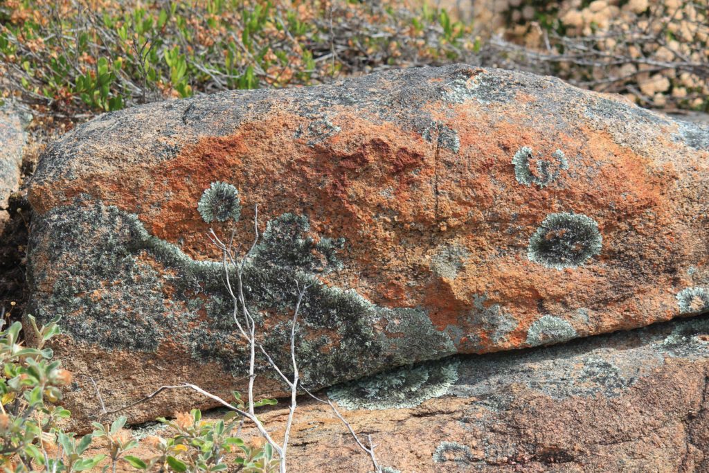
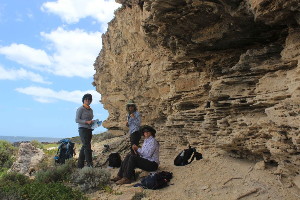
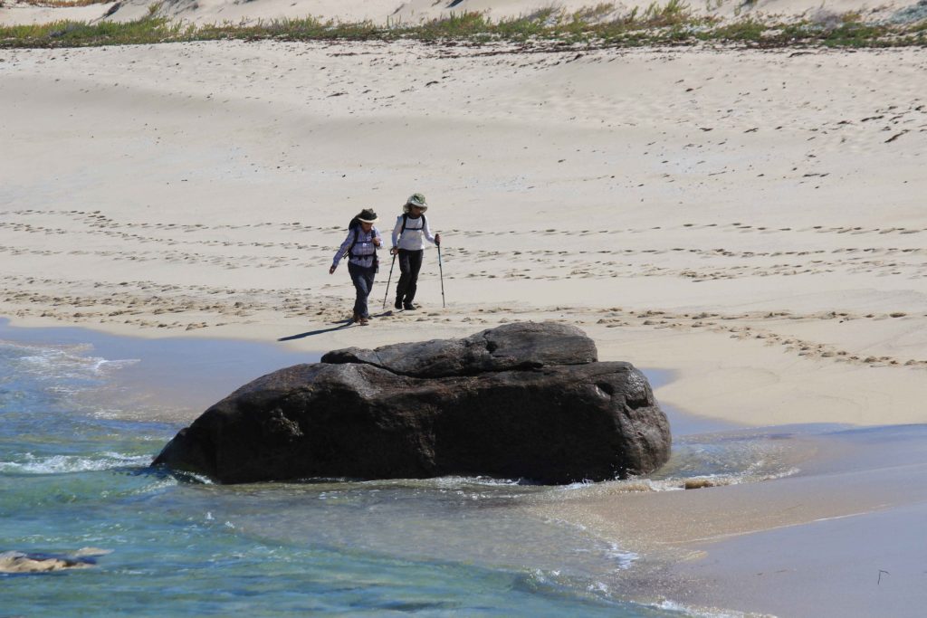
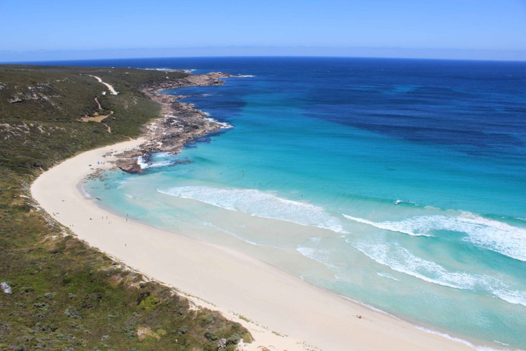
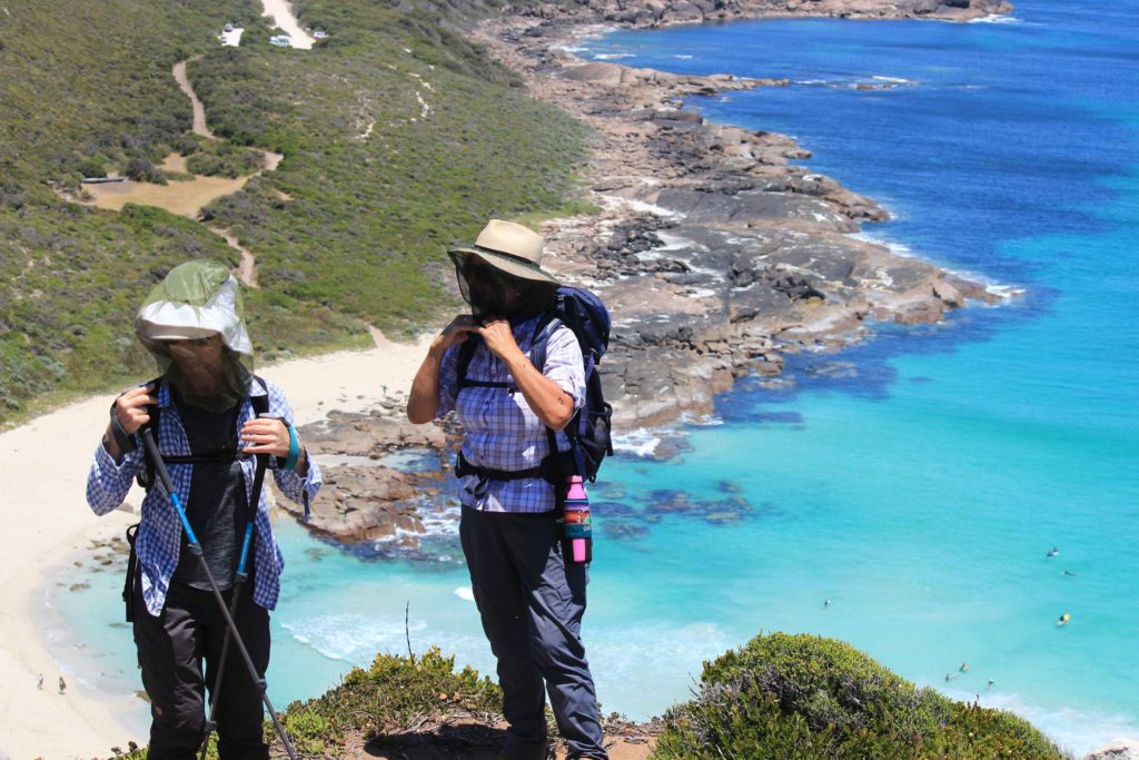
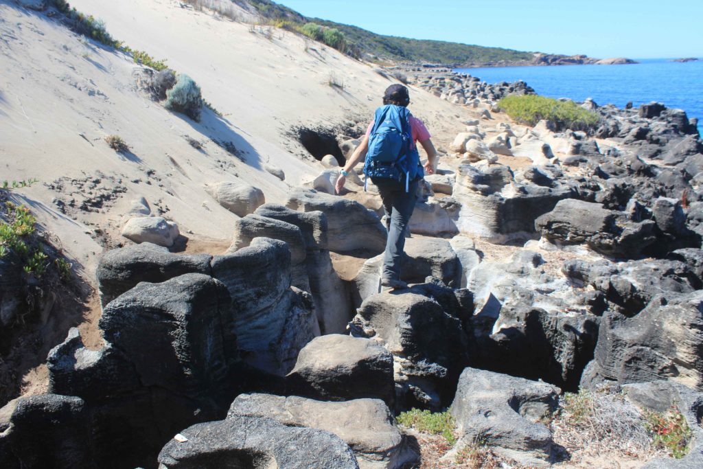
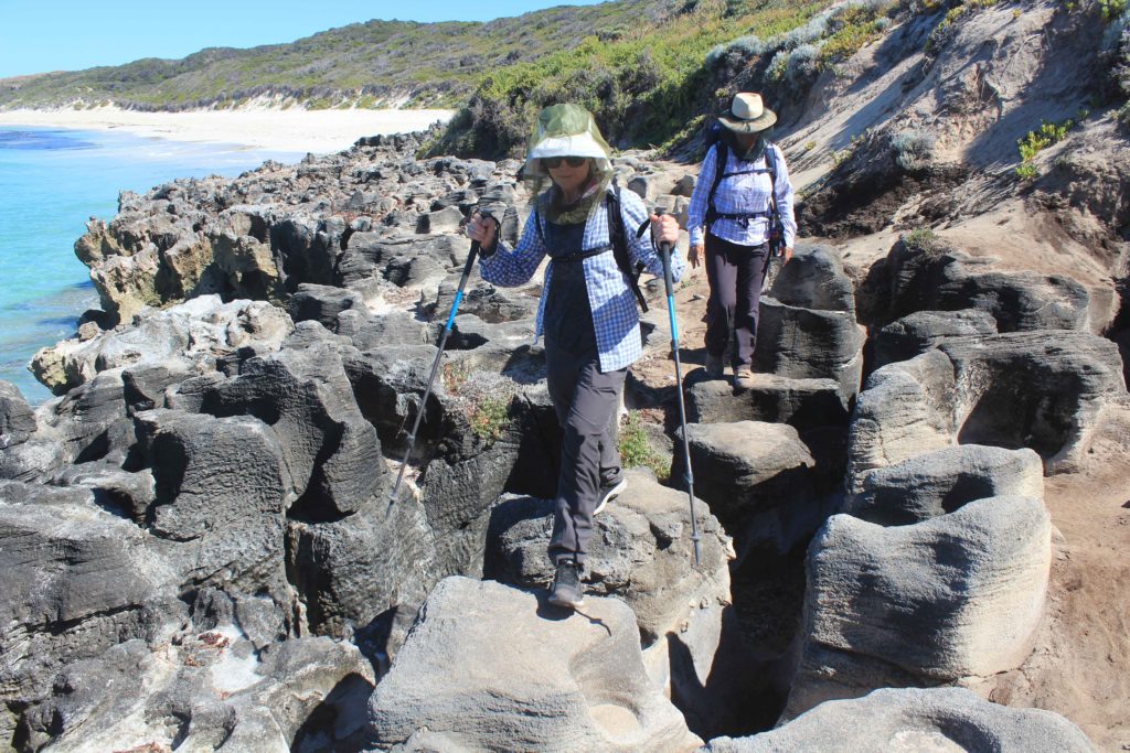
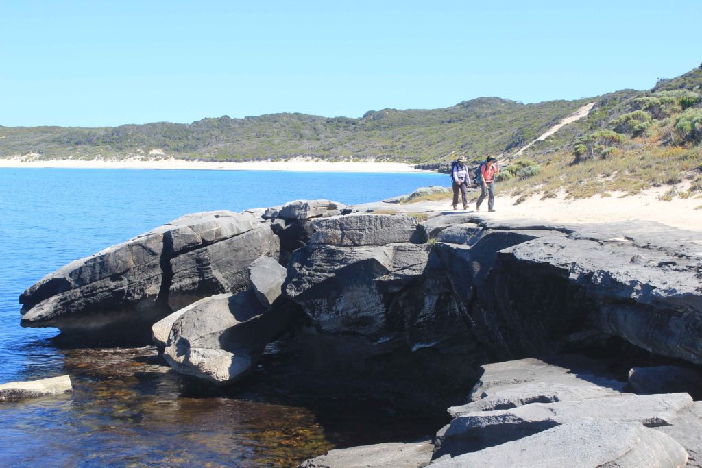
After crossing Biljedup Creek you are met with a fairly steep aluminium stair case that takes you to the top of the Willyabrup Cliffs that gives you some great views of the coast.  From here we continued onto Cullens Beach and then past a couple of surfing spots called Gallows and Guillotine.  It was at these surf spot we saw our first remote red shark alarms system. These have been installed at points along the coast.  One of the alarms was flashing and issuing a beach closed warning.  Though to hear the alarm and warning you had to be standing very close to the system itself so not to sure on how effective they really are.  The rest of the walk from here was through some short scrub bushland and then it was rocky for the last few kilometres into Gracetown

Well it was now two walk days down and only four to go.  Tomorrow was a relocation day for us and also a chance to have a little lie in.  So looking forward to that.

Day 2 Fun Facts

Distance – 22 km

Calories – 1778

Overlooking the beach from Injidup at the start of Day 2
The 4wd tracks that were the hottest part of our walk
Quininup Beach – lovely soft sand to walk on
Morning tea at Quininup Beach
Quininup Falls that had a small trickle of water going over them
Someone showing off her energy levels
Short boardwalk section after the beach walk
Rest stop at the top of Willyabrup Cliffs
Enjoying the view from Willyabrup Cliffs
Still all smiles so far
Greta views looking back at ground we had covered so far
Looking towards Cullens Beach and Gallows surf area
One of the remote shark alarms along the coast
Very colourful bugs seen on our walk
Afternoon rest stop at Cullens Beach
Some rocks had pretty interesting patterns on them

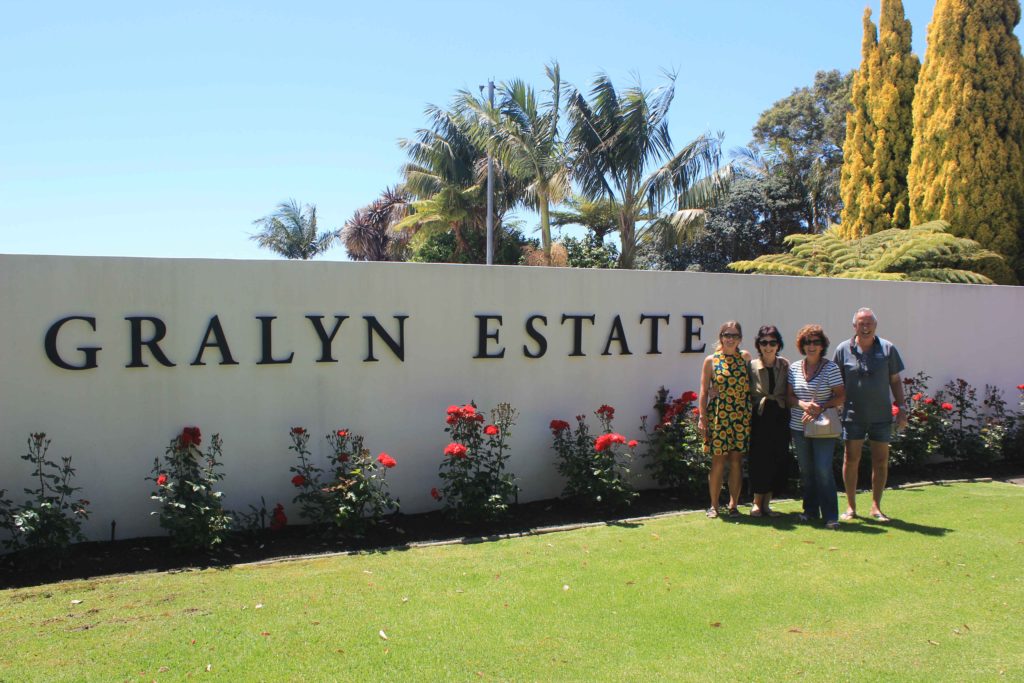
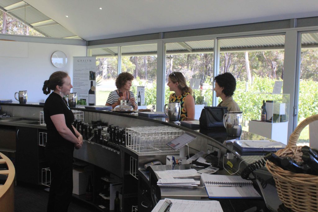
With two days completed it was our relocation day tomorrow and a chance for a lie in.  As we couldn’t get into our next caravan park till after 2 pm we took the chance to do a bit of visiting on our way further south.  Our first stop was at Graylin Estate for a bit of wine tasting.  Being the responsible drivers we are both Rob and myself didn’t partake in any tastings.  For the girls though that was another matter.  There wasn’t anything they didn’t sample.  It was a very nice winery and I can thoroughly recommend their wines.  They are a bit pricey but very nice.

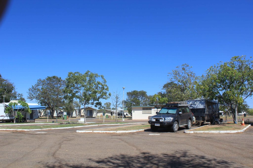
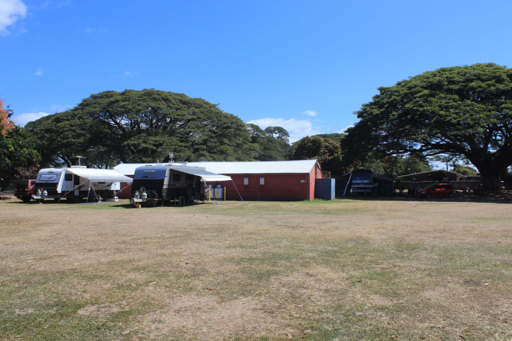
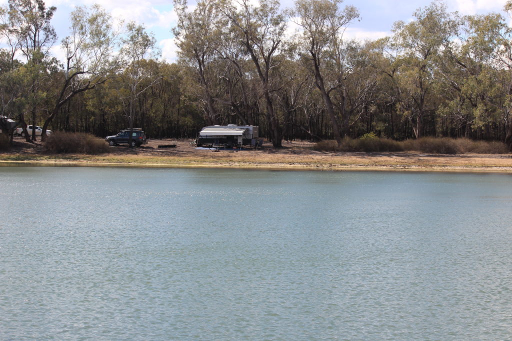
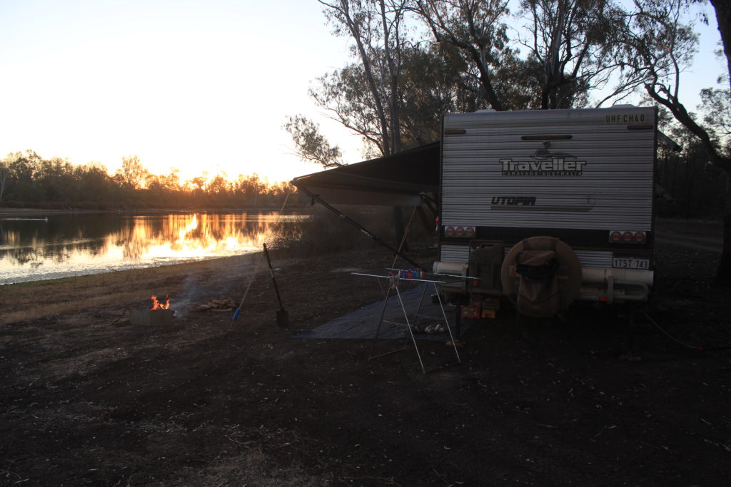
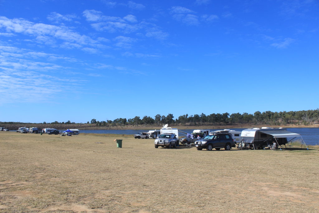
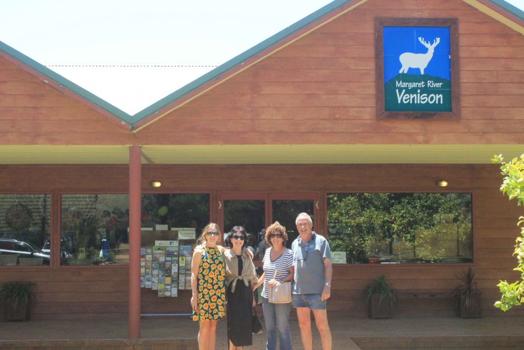
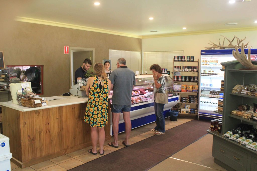
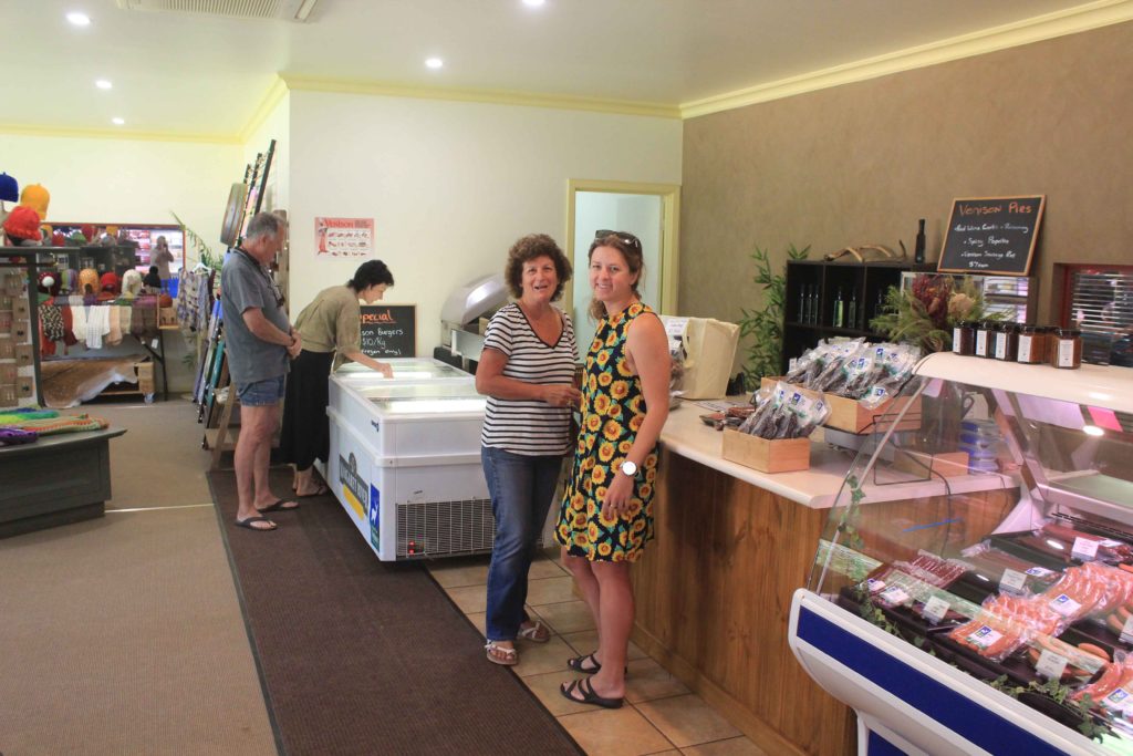
Our next stop was at Margaret River Venison for a few samples.  They have a wide choice of everything and the tastings are very enjoyable.  We all bought a few cuts of different venison and were looking forward to sampling these at a later date.  From here it was a very short drive to Prevelly Caravan Park and set up for the next three nights.

Parked up a Graylin Estate
Ready for some wine tasting
Into the full swing of tasting
At Margaret River Venison
Tasting what they have to offer
All full up
At Prevelly Caravan Park

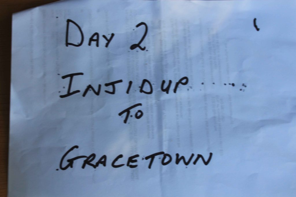
 Well Day 3 was looming and our halfway point of the walk.  I know us older walkers enjoyed the travel/relocation/rest day we’re pretty sure Renae did as well.

Day 3 – Gracetown to Prevelly

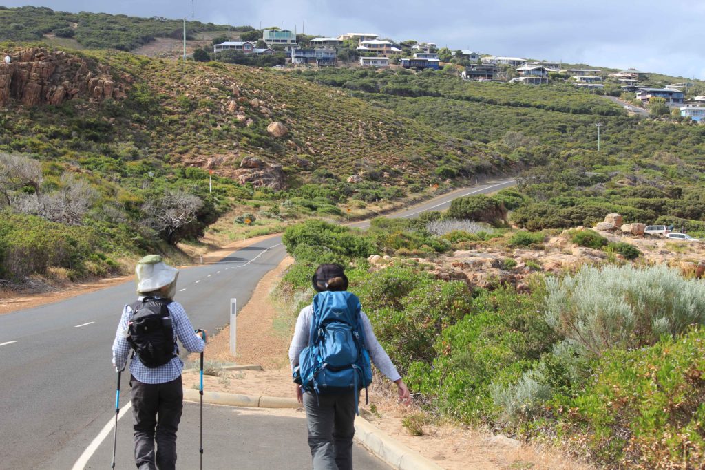
Day 3 started the same as the other designated walk days with that dam alarm clock going off way to early.  Rob dropped us off back at the boat ramp at Gracetown and we started our trek south again.  It was good to know that today we would be at the halfway mark of our walk.  Not far from the start is the memorial for the victims of the cliff collapse at Gracetown that happened 1996.  While watching a junior surf carnival a portion of a cliff face fell down onto people sheltering under it and crushing them.  A tragic event in WA’s history.

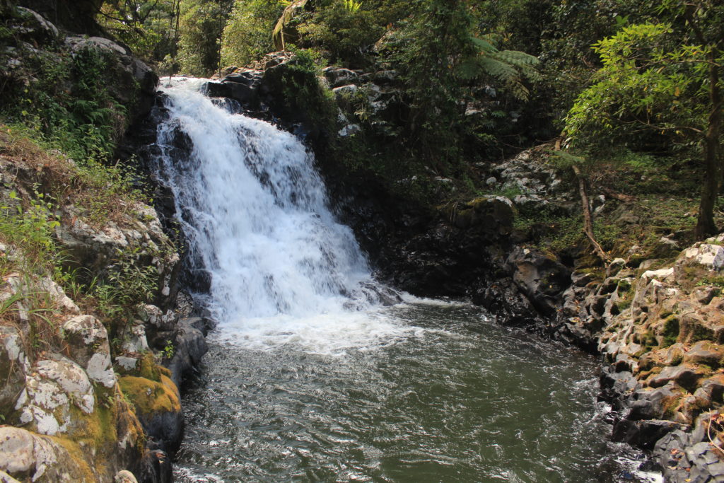
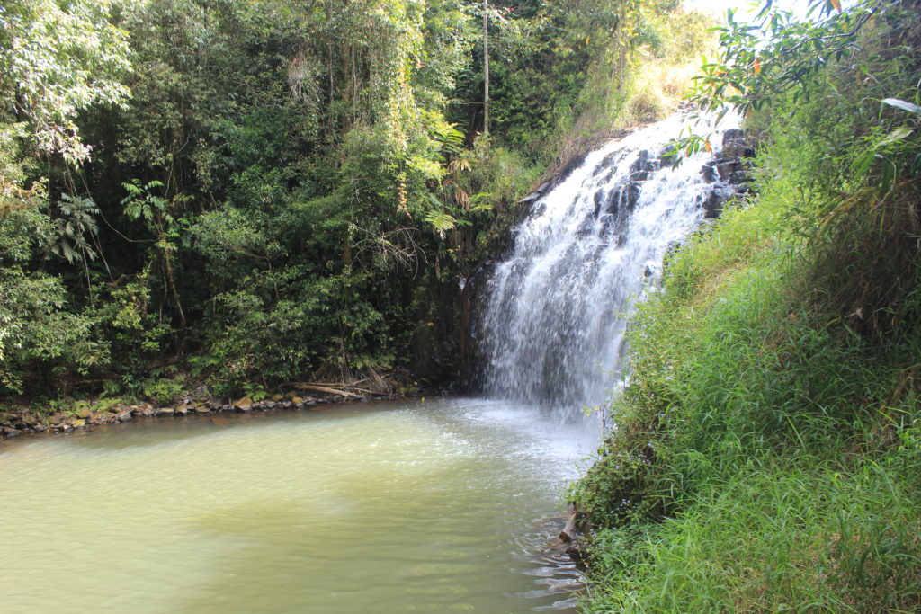
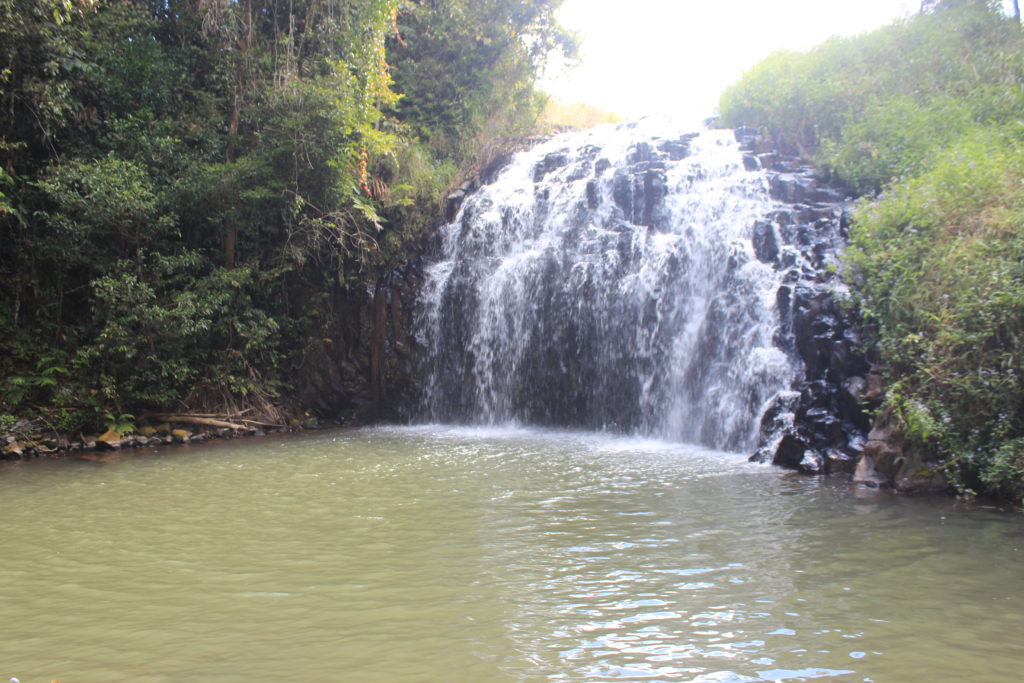
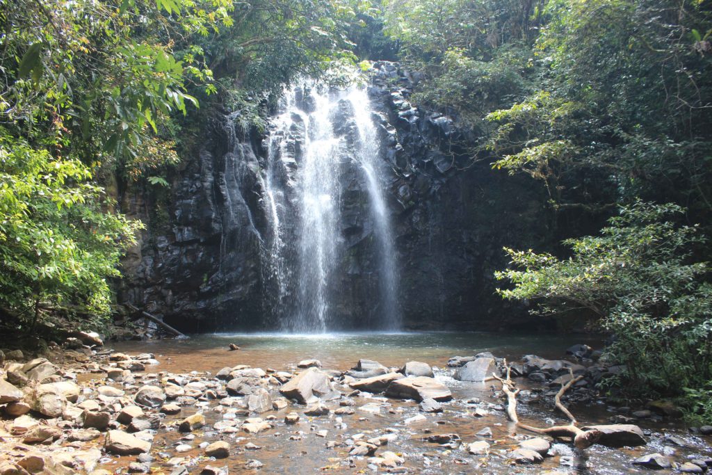
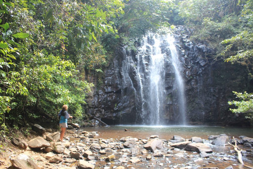
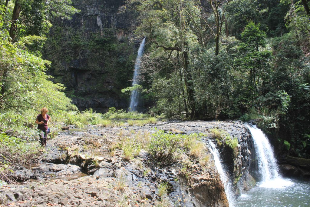
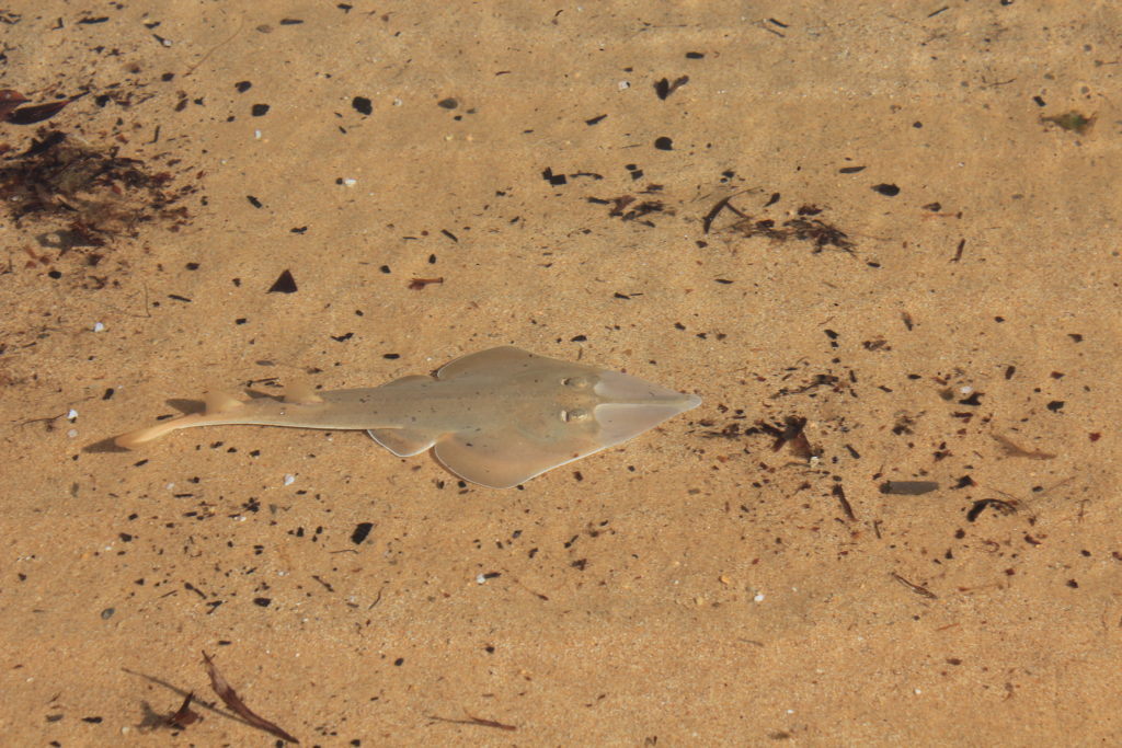
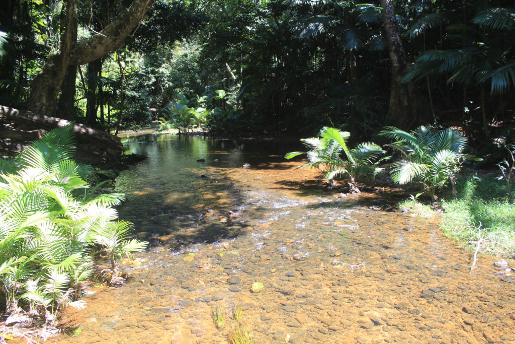
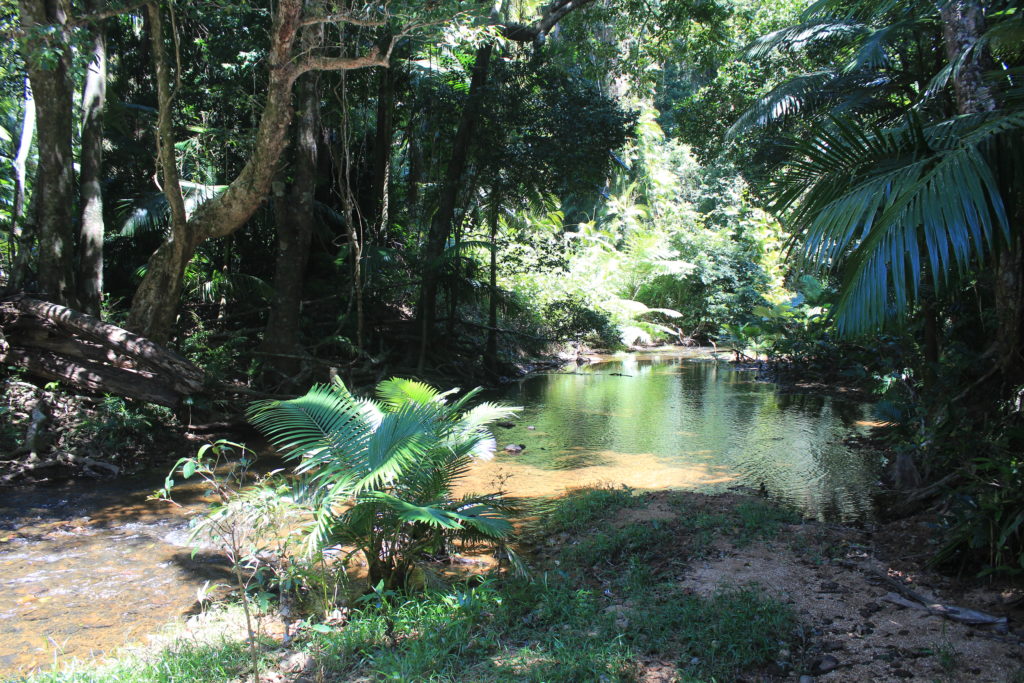
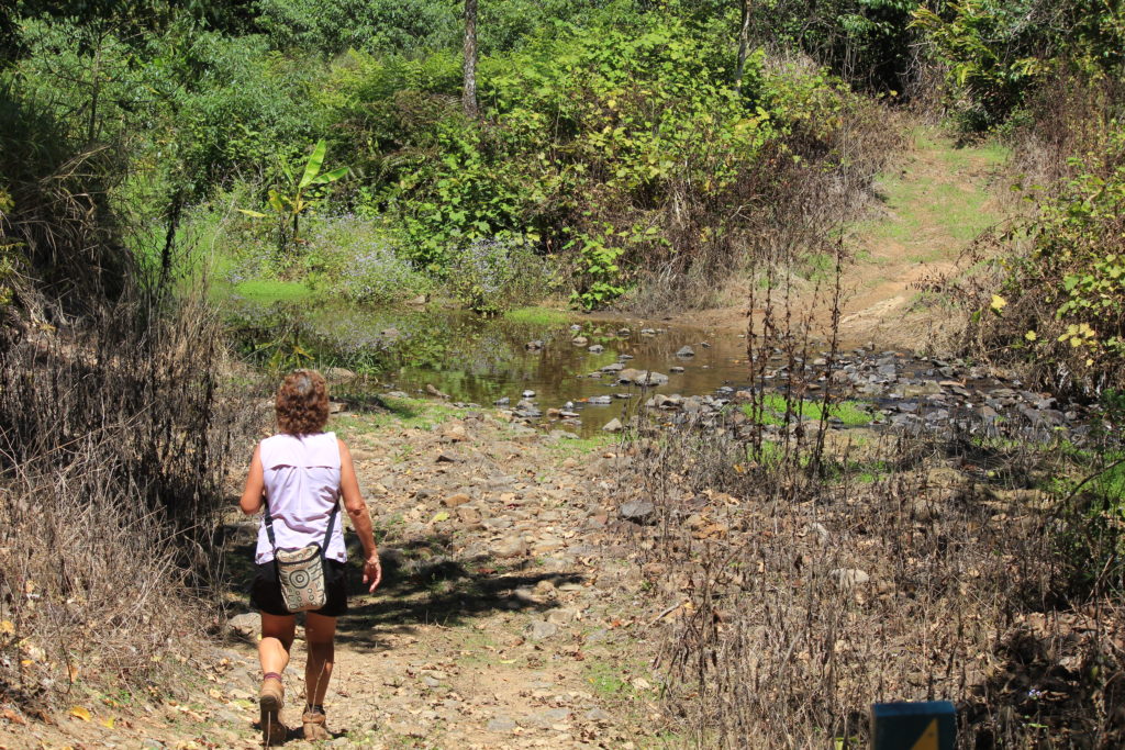
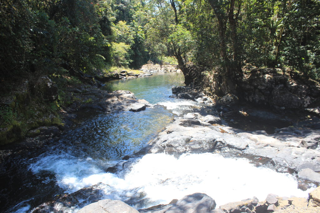
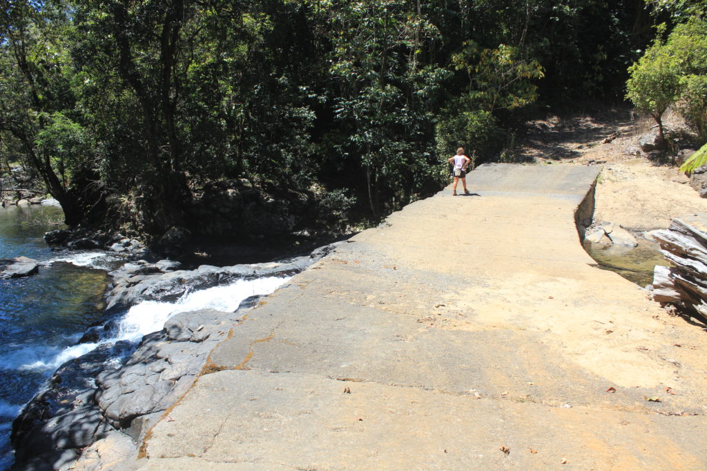
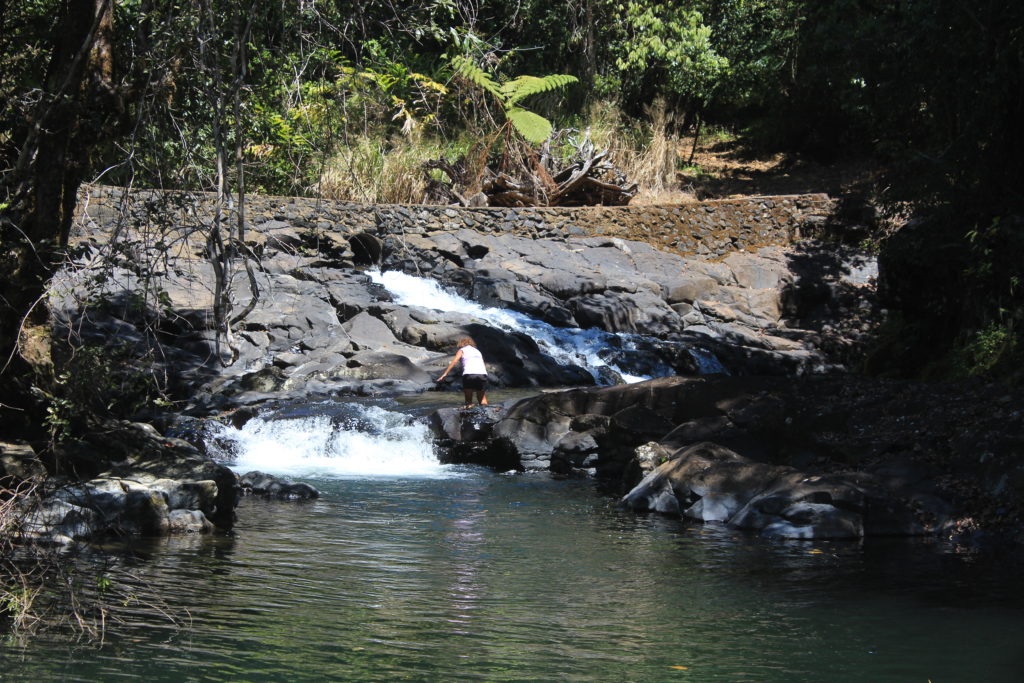
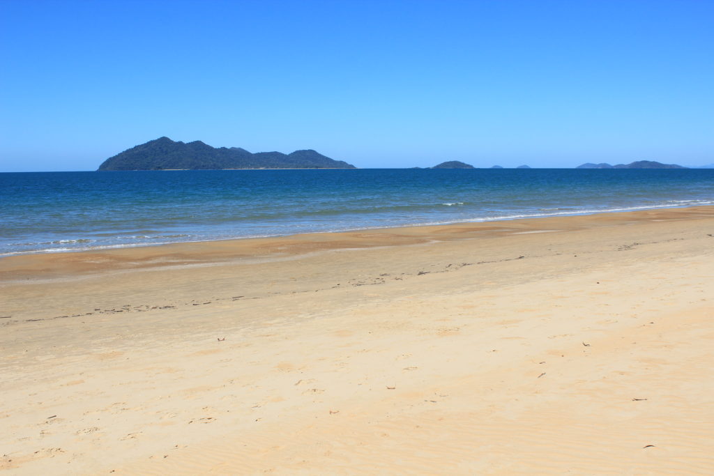
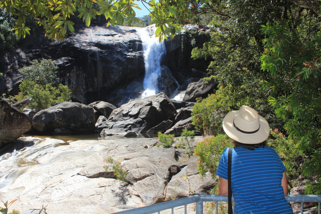
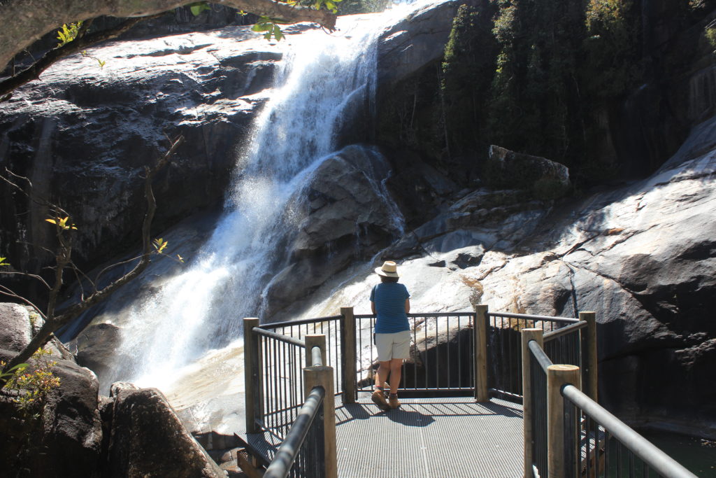
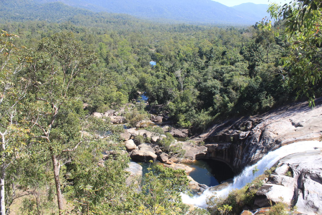
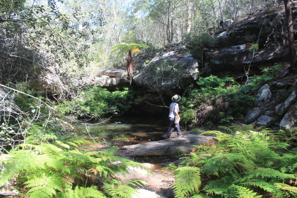
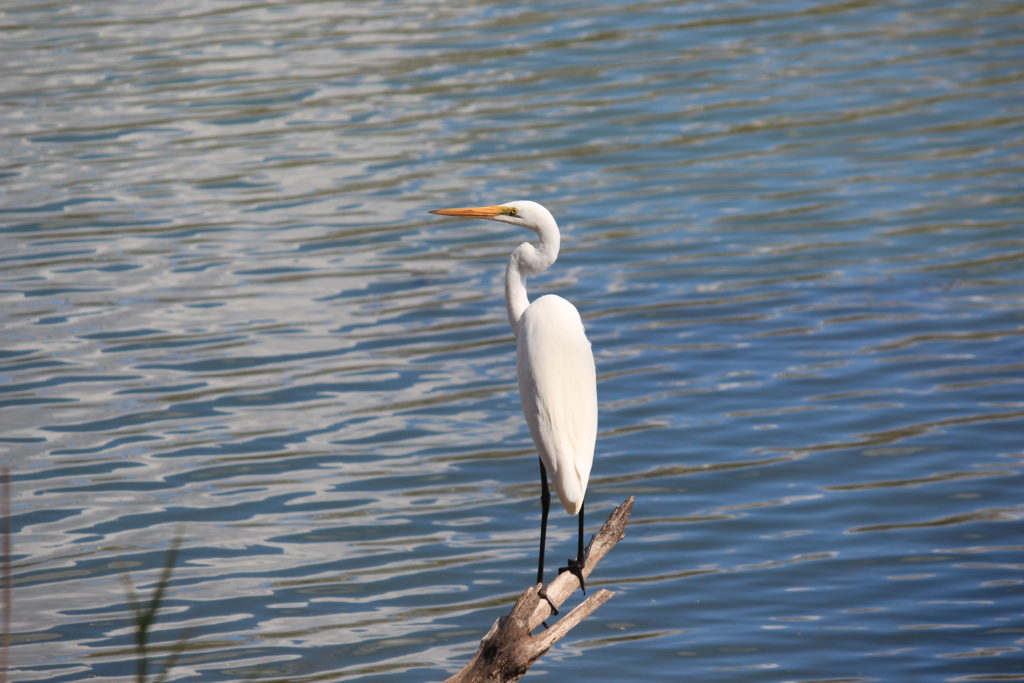
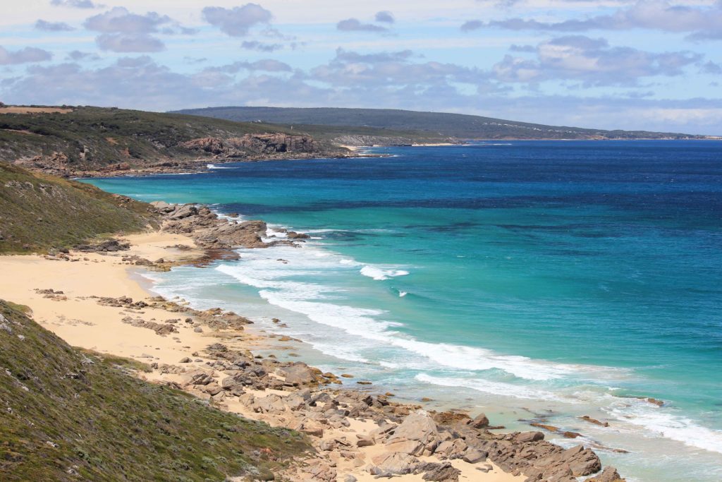
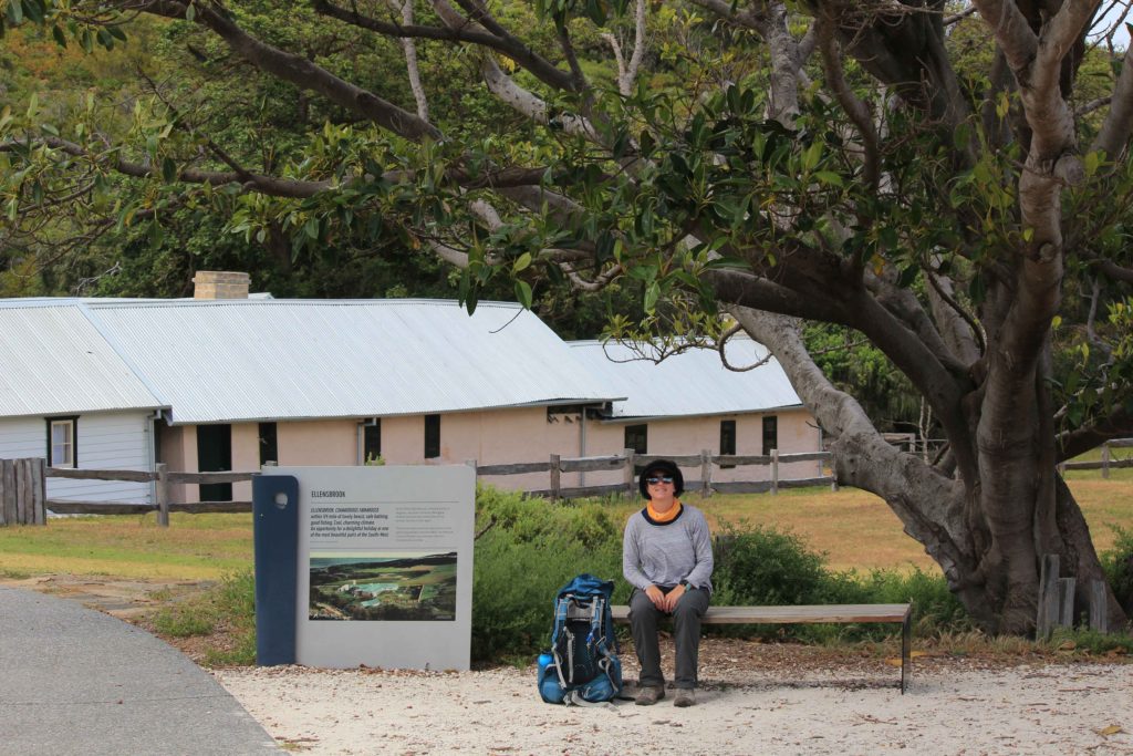
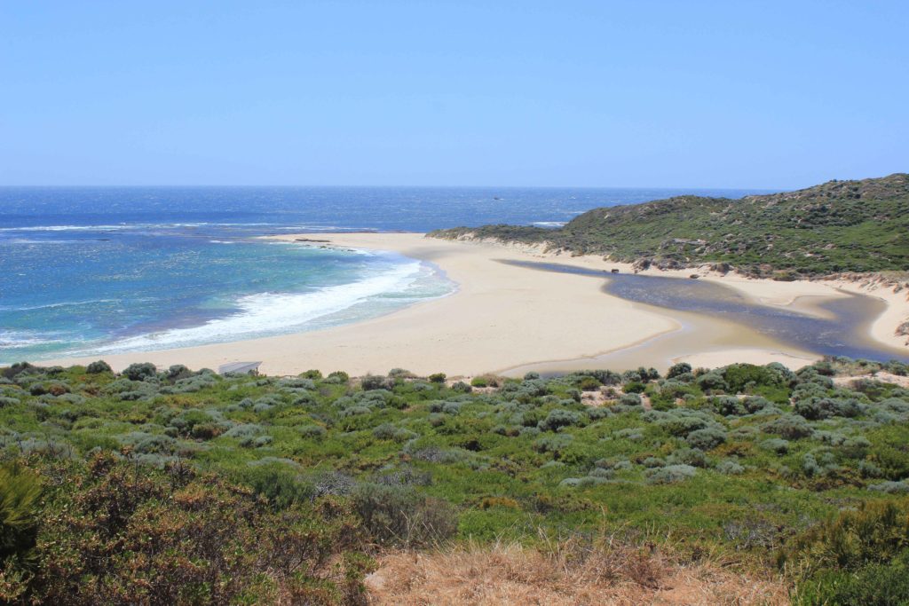
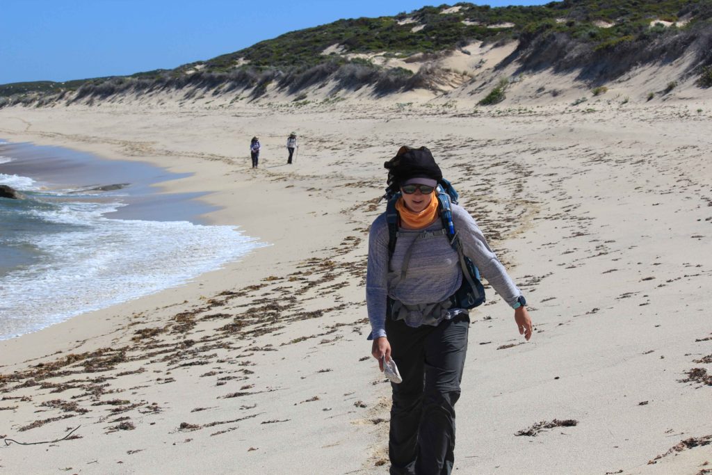
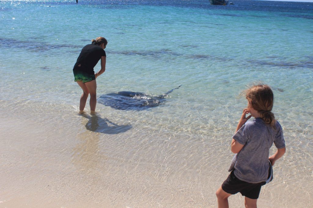
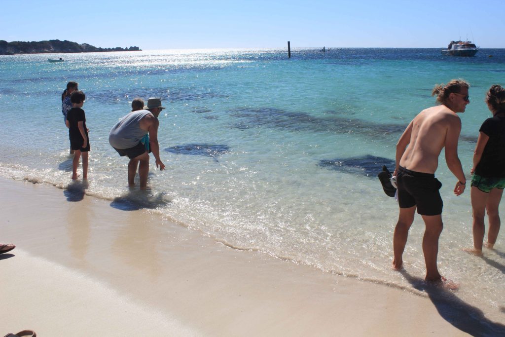
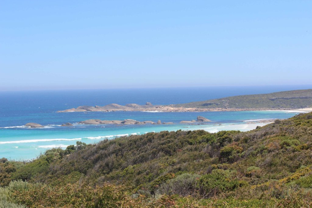
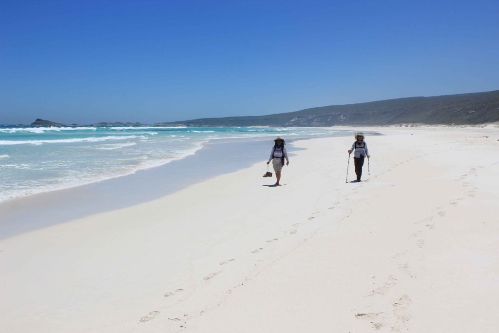
A bit further south is Left Handers surf break and we also saw a few more of the remote shark alarms along the coast.  We had arranged to meet Rob at Ellensbrook Homestead for morning tea.  This was a welcome break for us as the walk so far this morning had been a bit boring and monotonous as well as hot.  There was a nice big old Moreton Bay Fig that we sat under and it was good to cool down for a while in the shade.  A short walk from the homestead are the Meekadorabee Falls.   These weren’t flowing which was a pity as some cool water would have been nice to have.  Our trek continued on through some small shrubland and then past some limestone formations at the north end of Kilcarnup Beach.  We were very happy that we finally had a nice firm beach to walk along.  Made  big difference to the other soft sand ones we had walked previously.  We also saw a couple of stingrays close to the shore line while walking along the beach.

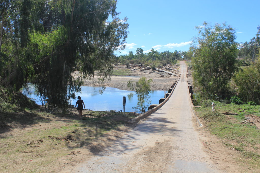
We left Kilcarnup beach at Cape Mentelle and continued on until we crossed the sand bar at the Margaret River mouth.  If you did this walk in wet weather you may have to take the alternative route if you couldn’t cross the river.  We originally were going to stop our Day 3 walk here but decided to do an extra few kilometres to the water tank behind Prevelly.  At the time we didn’t want to do it but were so glad we did for the next day.

Well Day 3 finished and we were halfway, a good feeling.  We were also starting to feel a bit better with our walking and were finishing our walking earlier each day. The weather was still warm each day and the refreshments each night were also enjoyable.

Day 3 Fun Facts

Distance – 23 km

Calories – 1692

Day 3 from Gracetown and we were off
The pace was on at the start
It wasn’t long until we hit the sand and the pace slowed
Morning tea break at Ellensbrook Homestead
Meekadorabee Falls – unfortunately they weren’t flowing
These were the hot sections of the walk – uphills and no wind
Someone was watching our movements
Are you looking at me
Hot with no shade and no wind
Lunch under the limestone at Joey’s Nose
Nice firm sand of Kilcarnup Beach
White Bellied Sea Eagle near cape Mentelle
Mouth of the Margaret River

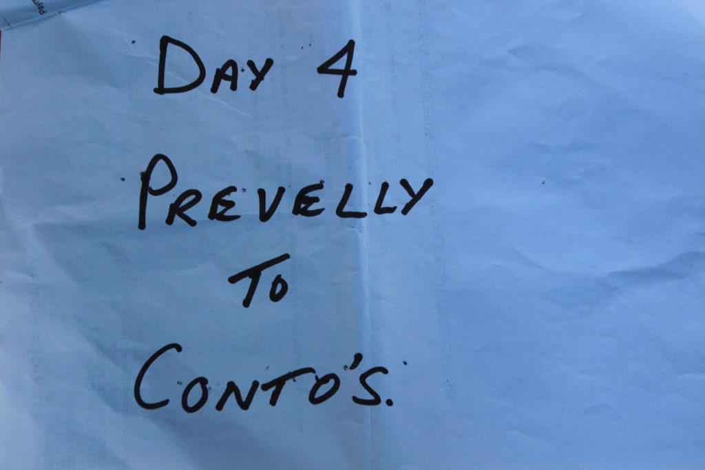
Day 4 and I was resigned to the fact that I needed the alarm clock to force me to get out of bed.  We all were quite happy today as we had done a few extra kilometres yesterday and this made today’s trek that little bit shorter.  It was only going to be about a 14 km walk.

Day 4 – Prevelly to Conto’s

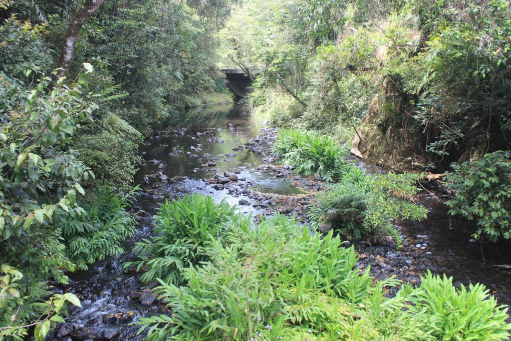
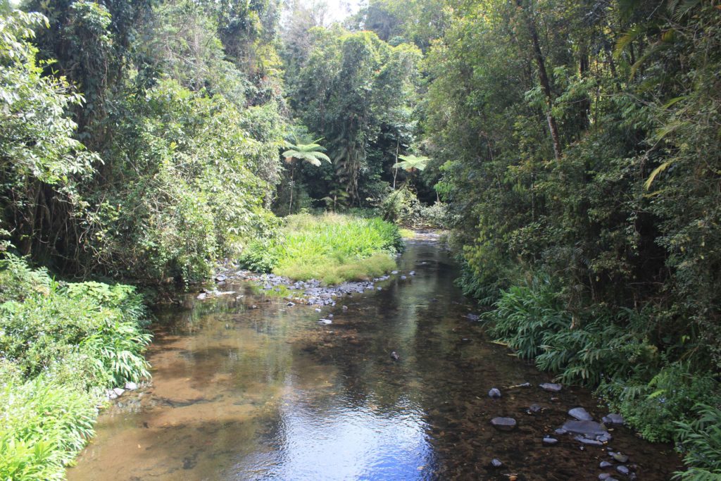
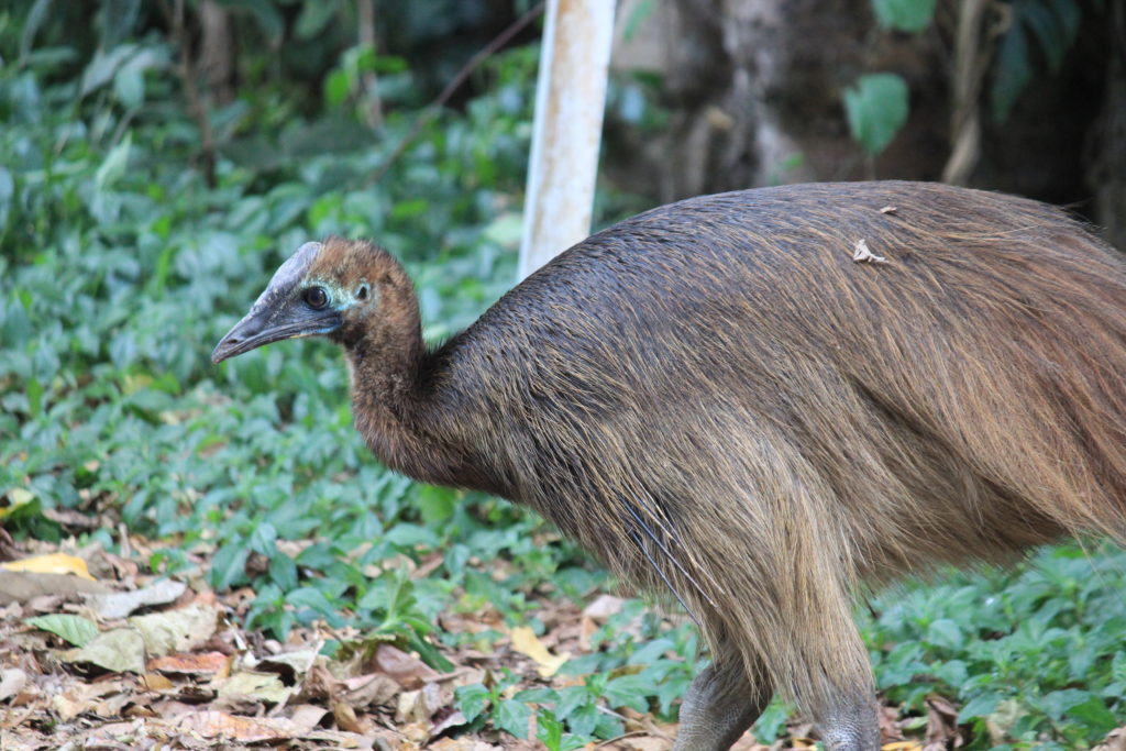
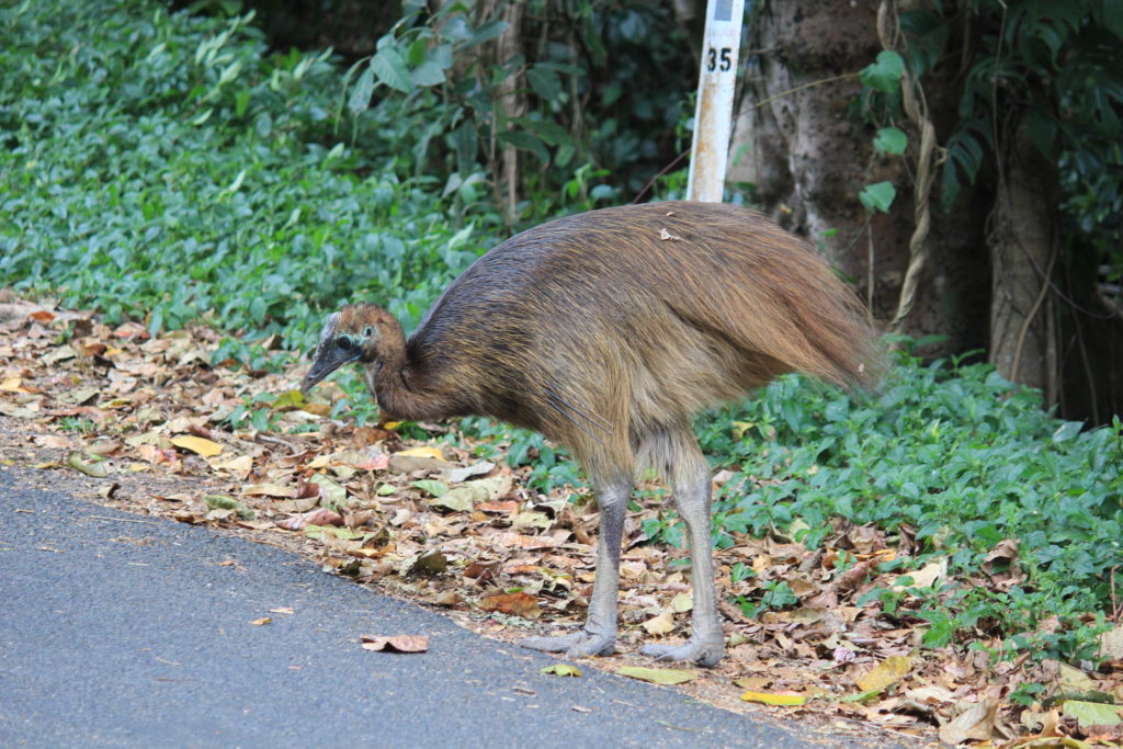
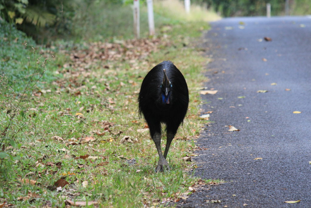
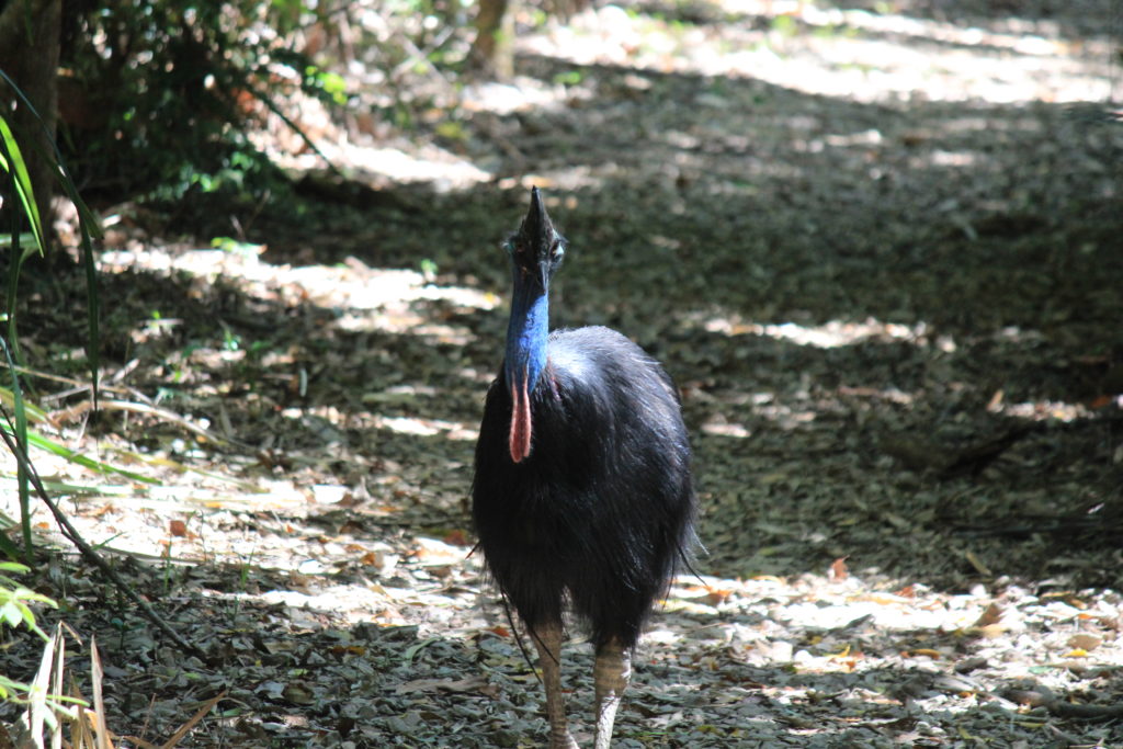
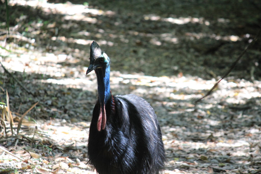
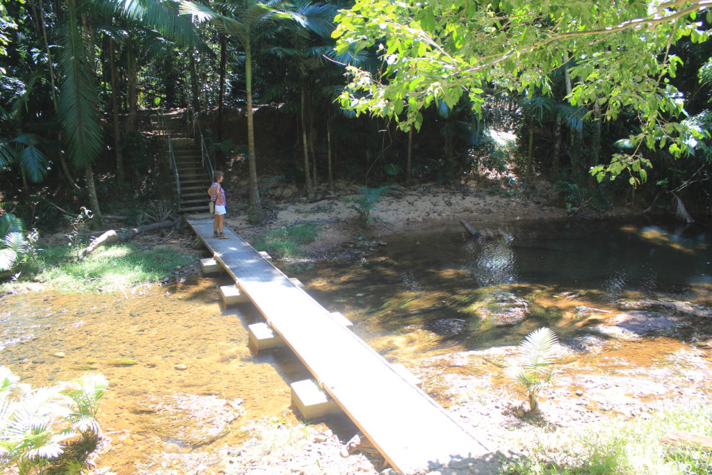
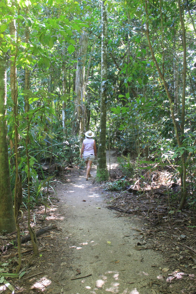
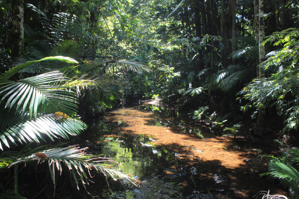
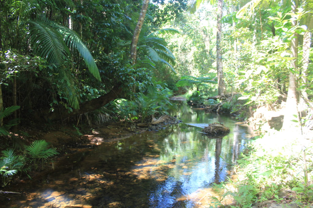
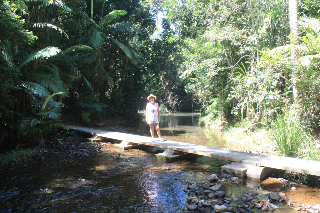
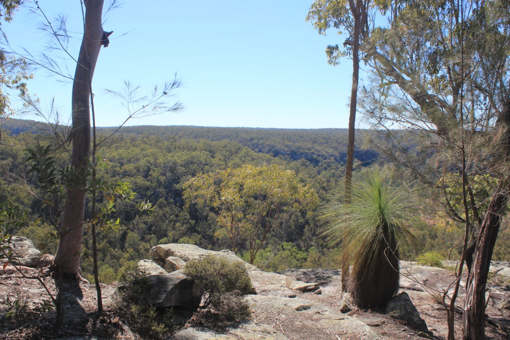
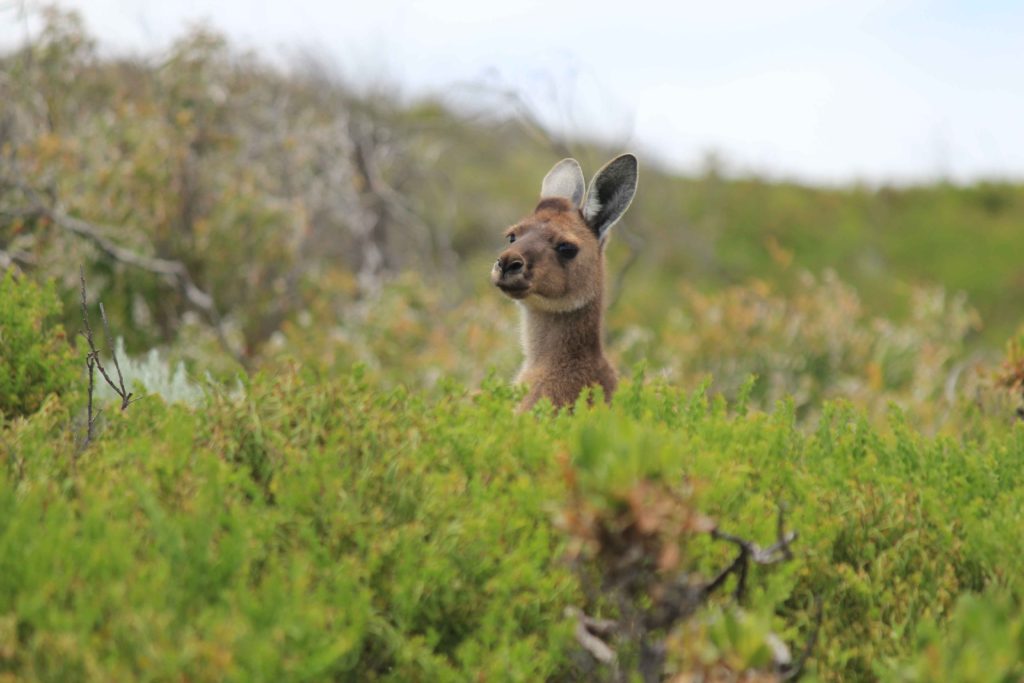
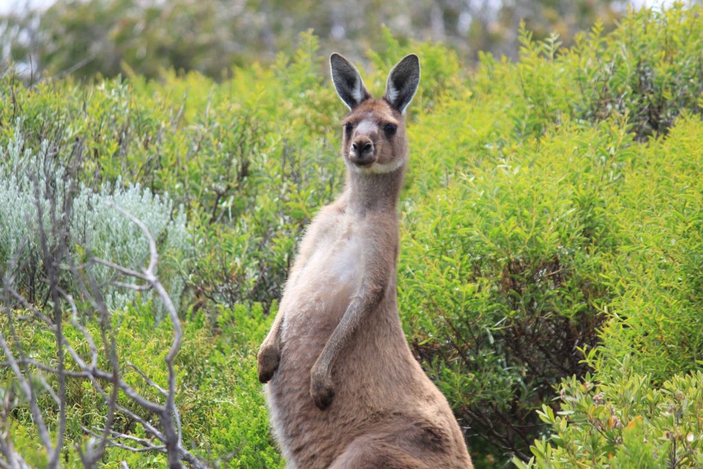
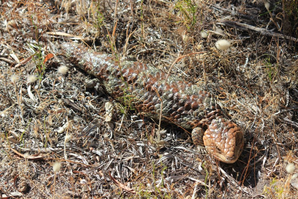
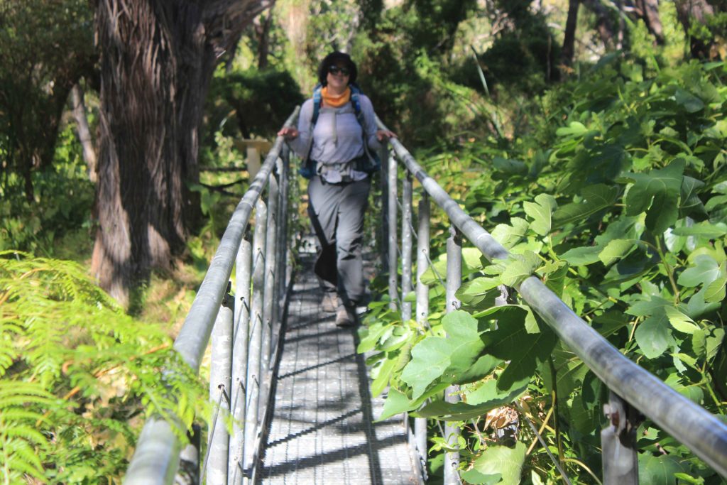
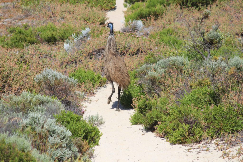
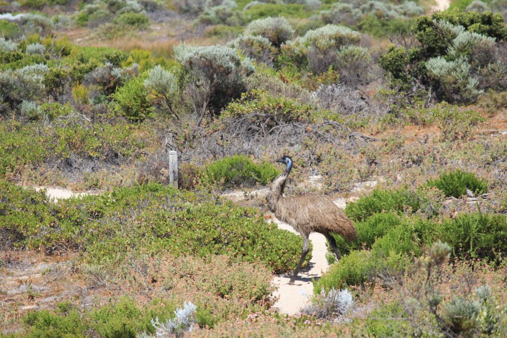
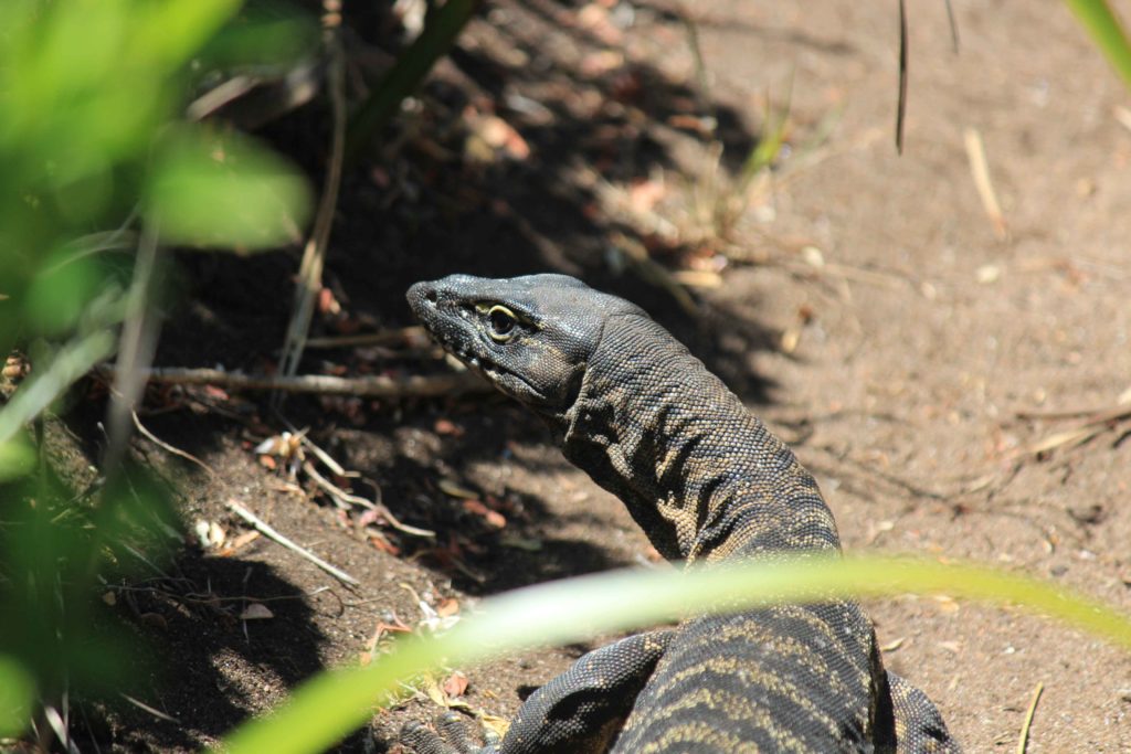
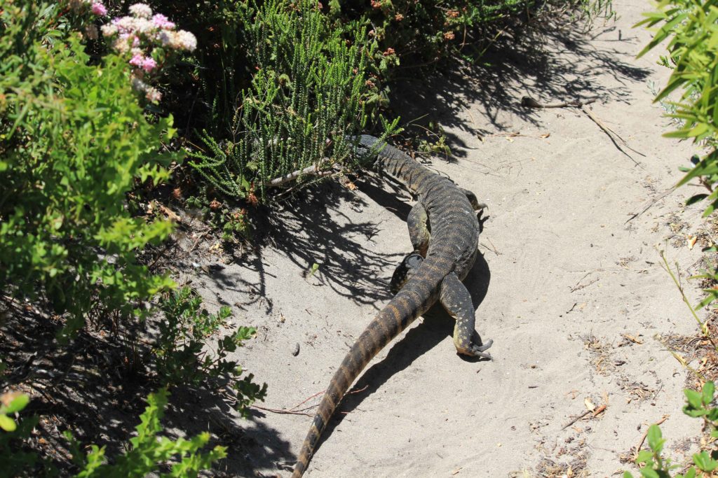
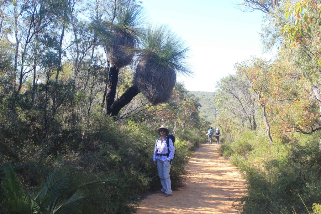
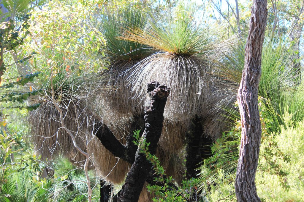
The track at the start of Day 4 took us inland a bit and past some very tall grass trees.  Some of these trees were around 4 metres in height.  We weren’t sure if we had seen grass trees this tall before, and there were lots of them.  We also came across a very fat looking bob tail lizard that wasn’t interested in moving off the track and made us all walk over and around him.  The track took us along Boodijup Ridge that gave you some great views.  It was then a steep descent down into Boodijup Creek.  This area was very green and had a real garden like feeling about it.  You also cross a short bridge here and then start heading back towards the coast.  On this section of the walk we disturbed an emu and he was running all around the place trying to get away from us.  It kept on sticking to the walking track and was clearly getting flustered as we kept on walking along the track as well. 

When we got back to the coast we had a very long beach walk on soft sand with a sloping beach.  Not a lot of fun at all.  Renae found some “beach treasure” along this beach, a diving mask and a huge abalone shell. The beach walk finished at Redgate car park which is where we met Rob for morning tea.  A welcome break after the beach walk.  From the carpark we headed off along Redgate Beach then went along some more 4wd tracks.  These tracks this time did offer some views of the coastline which was nice for a change.  It was then up some cliffs near Bob Holland’s Grotto where we saw some rock climbers doing there stuff.  It was quite an easy walk along the cliffs and onto Conto’s Beach.  This was the end of the walk for Day 4.  We finished around 1 pm today and met Rob at Conto’s for a picnic lunch.  Great way to finish the day.  We would have liked to have gone a bit further if we could but there was nowhere we could find to meet Rob with the vehicle that didn’t require some serious four wheel driving..

Day 4 Fun Facts

Distance – 14.1 km

Calories – 1142

Day 4 and a spring in our step
Lizard #1 for the day – a very fat brown bob tail
The bridge at Boodijup Brook
The very frazzled emu we encountered
He wanted to be on the same path as us
Close to the start of our long beach walk on sloping sand
The beaches looked lovely but some were horrible to walk along
It was tough going
Renae was setting a hot pace
The two stragglers at the back
Redgate Beach
Redgate Beach
Lizard #2 for the day – nice long monitor
Rest stop under the shade of some limestone cliffs
Lizard #3 for the day – another nice looking monitor
The bay at Conto’s – our destination for Day 4

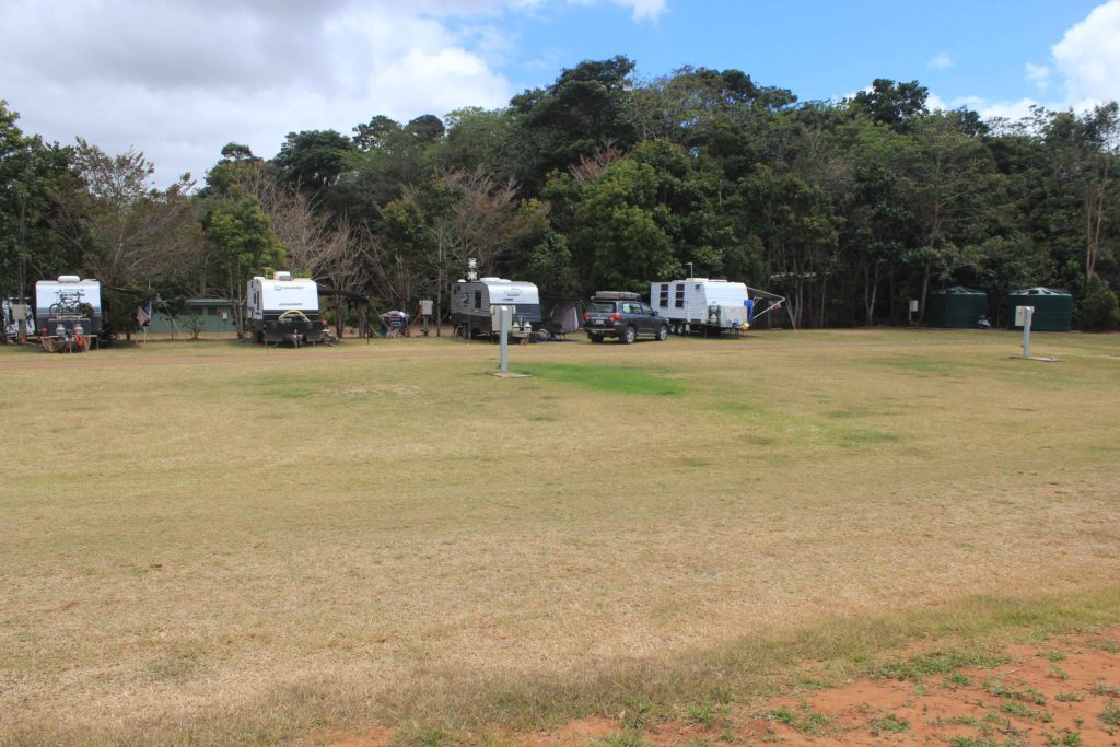
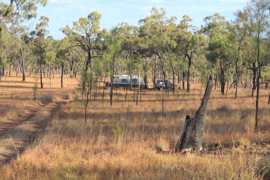
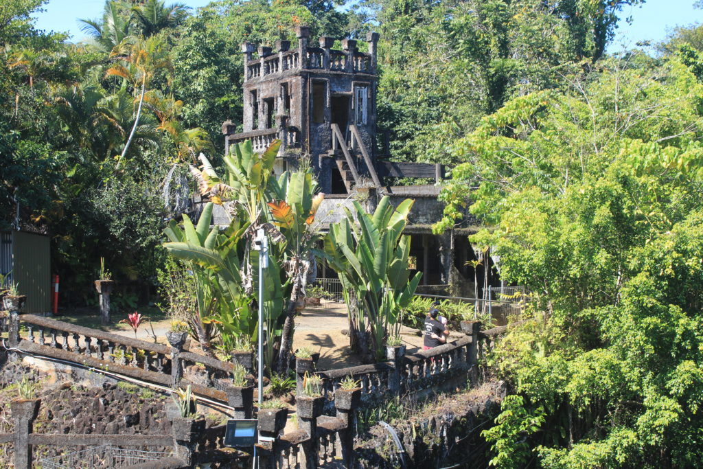
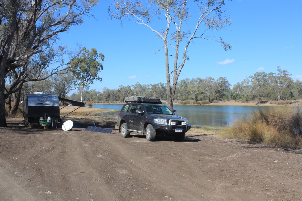
With Day 4 over tomorrow was another relocation day. This time it was down to Augusta and the Munday Campground just a few kilometres out of town. This is a relatively new campground that only has 10 sites and is at the back of a property.  It is very well set out and we will definitely have this place back on our radar again.  We didn’t have to wait till the afternoon to book in either which was nice.  It was only a short drive from Prevelly to Augusta so we were able to set up camp early and go for a drive around Augusta and out to Hamelin Bay.  Lunch at the Augusta bakery was very nice as well.

All set up at the very nice Munday Campground
Augusta Water Wheel
Cape Leeuwin Lighthouse
Our ultimate destination – the car park at the lighthouse
Remains of the old jetty at Hamelin Bay
Stingrays at Hamelin Bay

We were all starting to feel pretty good at this stage.  With four days completed and some good times had in between we were very confident about the last two days.

Day 5 – Conto’s to Hamelin Bay

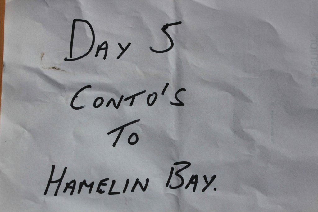
With the weather getting a little bit warmer we made the decision to start the next couple of days 30 minutes earlier.  As much as I hated getting out of bed earlier it was a good decision to do this.  Day 5 was going to be just over 22 km’s

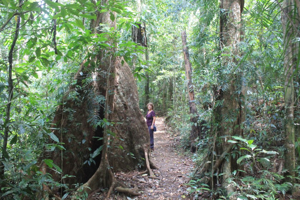
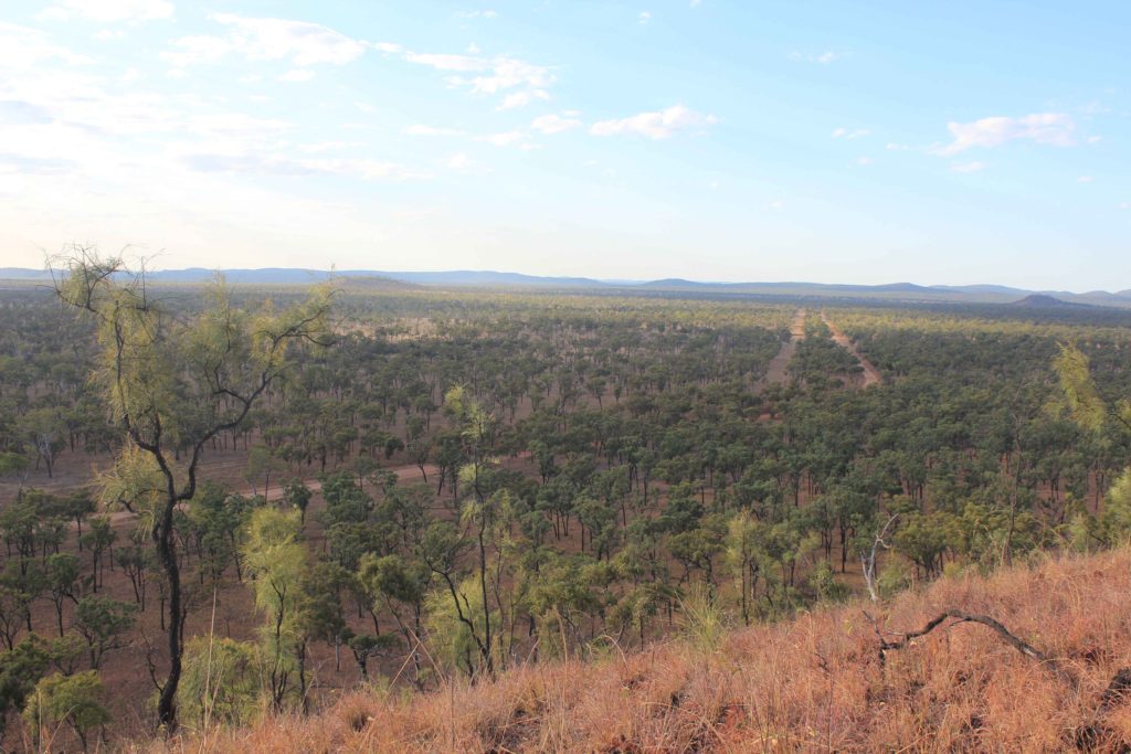
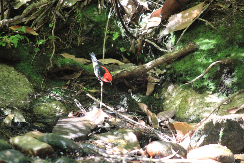
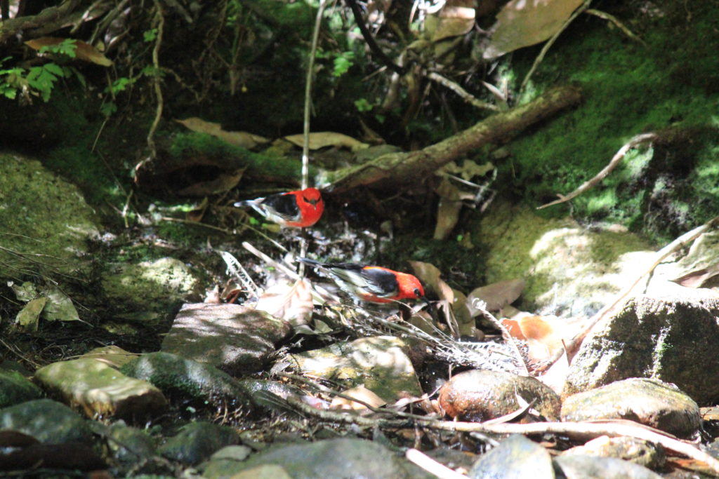
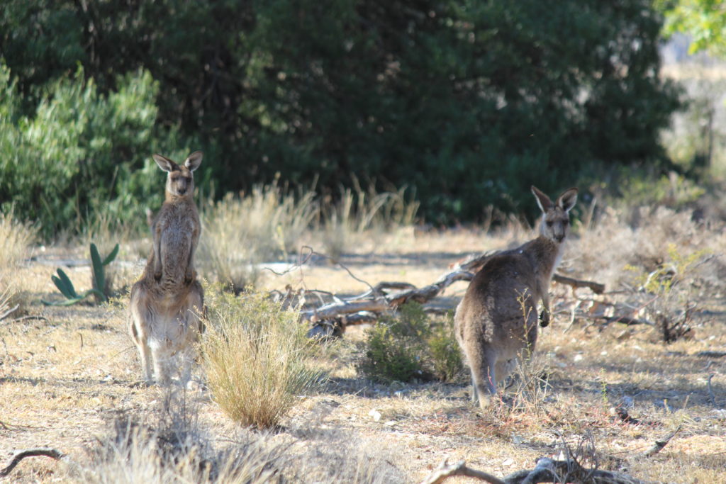
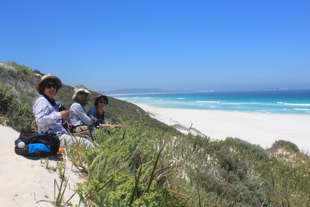
The start of the track from Conto’s led us inland a bit and past some very nice jarrah and karri trees.  This part of the walk also provided us with some nice shade that we really enjoyed.  We saw a lot of birdlife in this section as well as a couple of kangaroos that very quickly scampered out of the way.  This section was also quite undulating and followed some 4wd tracks that did provide easy walking.  We did a detour to the Boranup Lookout that was not worth the extra effort.  The trees around the lookout have all grown quite tall which is a good thing but they have blocked most of the view.  The day by this stage was starting to get quite warm and the open 4wd tracks weren’t providing much respite from the sun and they weren’t that scenic either.  The descent down to Boranup Beach was nice and it was just a bit further along from the descent where we sat on a sand dune and had our lunch overlooking the beach.

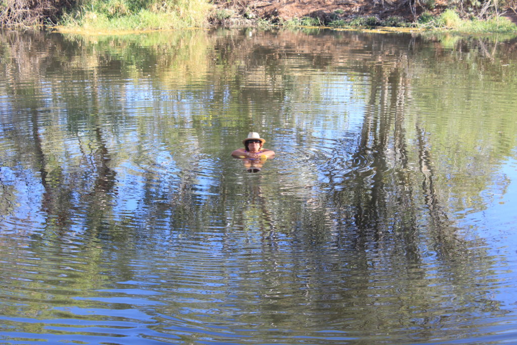
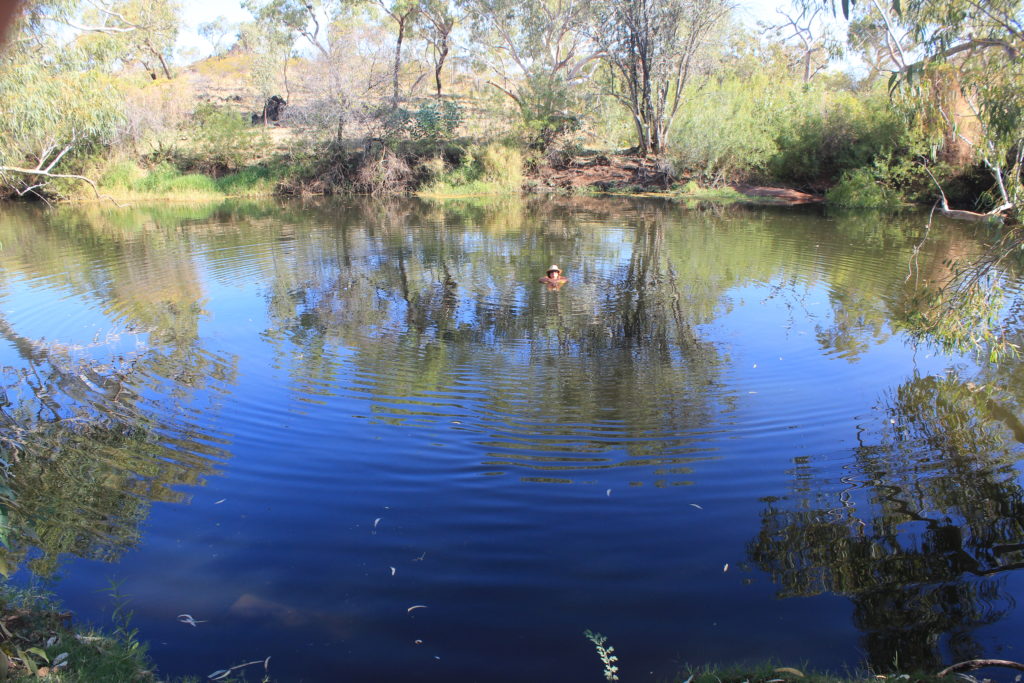
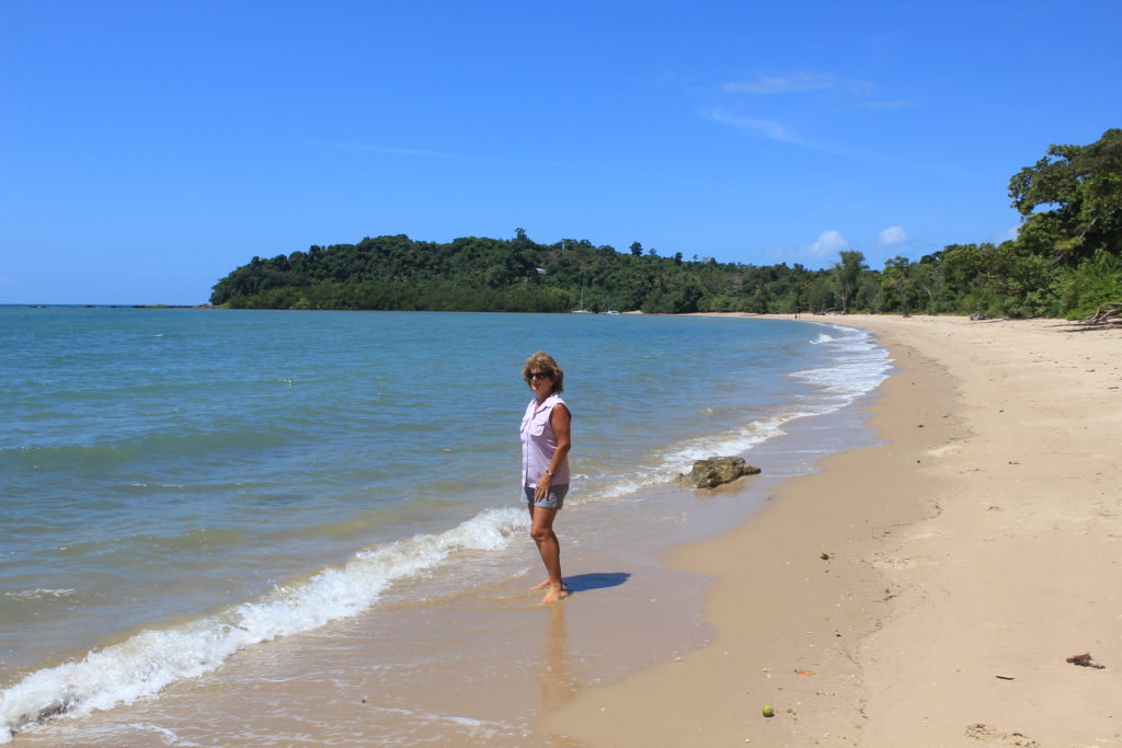
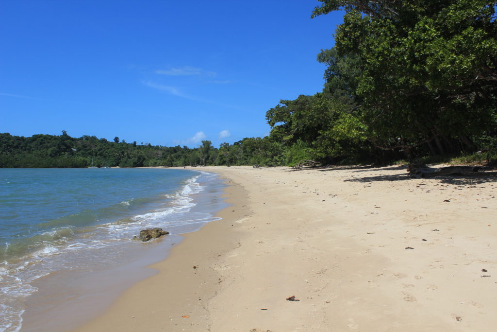
From here it was a long beach walk of around 6.5km to Hamelin Bay.  The beach was quite firm and the 6.5 km only took us around 1.5 hrs to complete.  We finished our walk today at around 2pm which we thought was pretty impressive.  At Hamelin bay both Renae and Vicki had a recovery swim which they both enjoyed.  Kaye and myself just waded near the shore.  Both a pair of wooses when it comes to cold water.

Day 5 Fun Facts

Distance – 22.8 km

Calories – 1645

Nice start to day 5 through the bush
Some of the huge grass trees we were still seeing down south
It was hot when you had to walk up the hills
Red tailed black cockatoos
Some of the grass trees were very impressive
There was some welcome shade early on in the morning
Very pleasant stroll through the bush
Morning tea break in the shade for a change
This is when it got very hot – in the open with reflective sand
The flat parts of the track were a big relief
Our first glimpse of Boranup Beach
Lunch break over looking Boranup Beach – there wasn’t much shade in this area
Scampering down the sand dune onto Boranup Beach
The long 6.5km beach walk

Well with Day 5 over it was only one day left to complete the Cape to Cape.  It was really starting to feel like we had achieved something special as a small group.  Bring on Day 6.

Day 6 – Hamelin Bay to Cape Leeuwin. The big finale

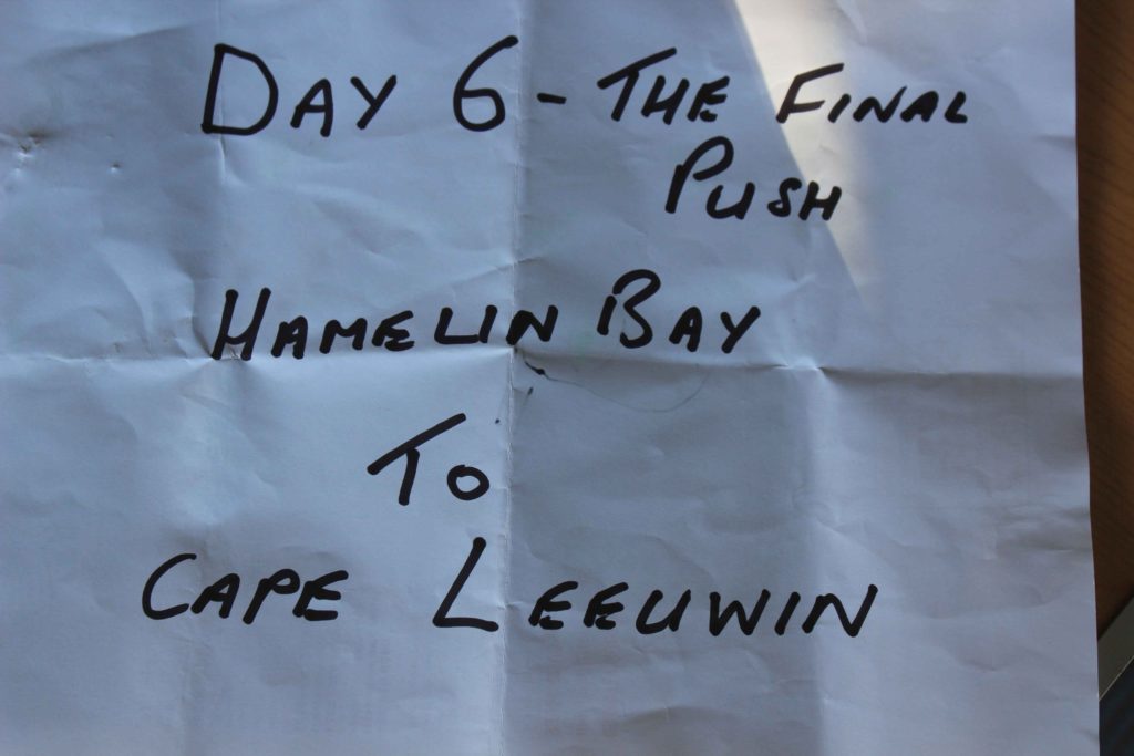
Day 6 was forecast to be the hottest day of our trekking so far so it was another early get up like the previous day.  As it was our last early rise I was all keen to get it over with, as were the others.

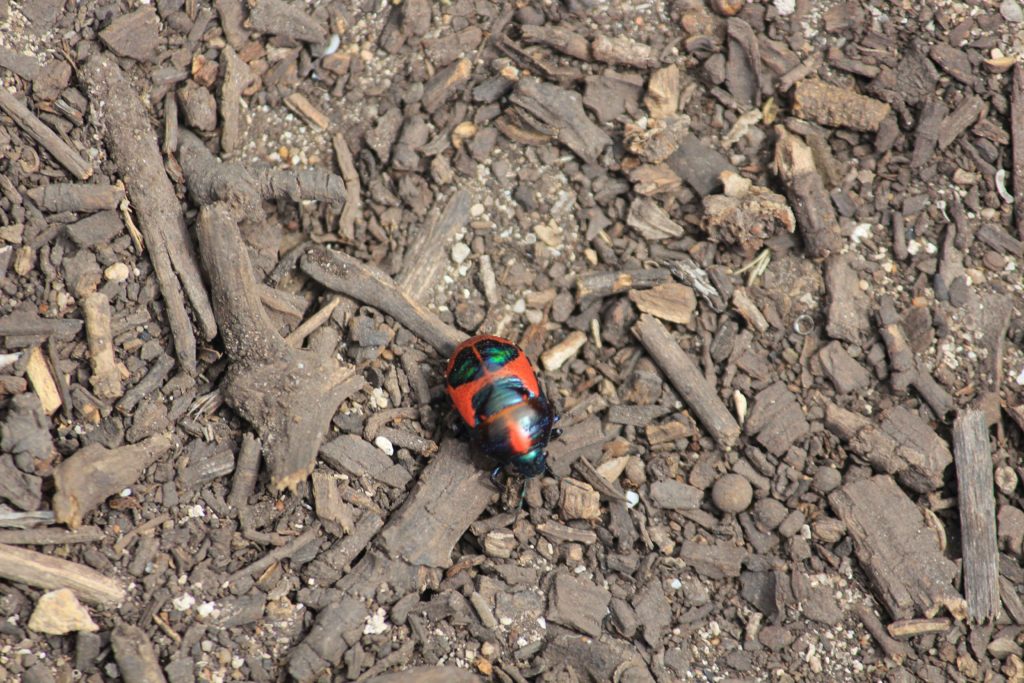
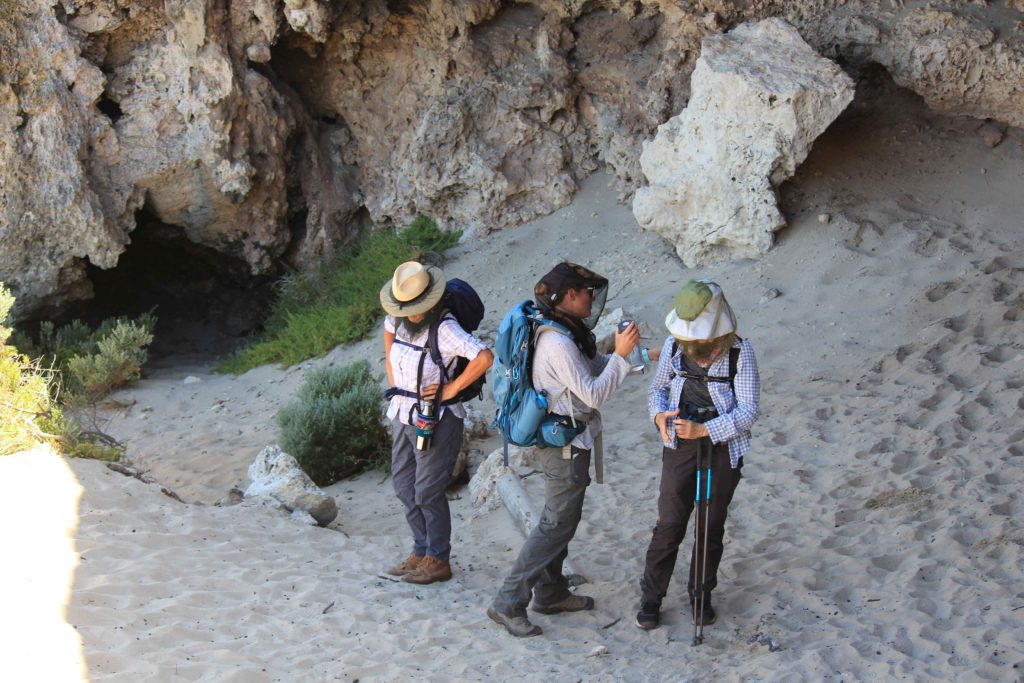
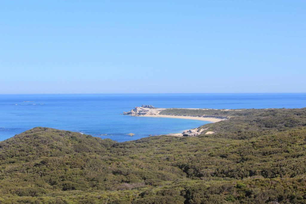
Rob took us the short drive to Hamelin Bay where we started off for the final push.  The trek start took us over the limestone cliffs of White Cliff Point and then down onto the beach at Foul Bay for a short beach walk less that a kilometre in length.  This then took us along a 4wd track to the small Foul Bay light beacon.  We organised to meet Rob where the track crossed the Cosy Corner road for an early morning tea break.  As the weather was already warming up it was a welcome break.  From here the track then took us to the rock holes/blow holes at Cosy Corner.  The way the water has eroded the rocks over time makes for a really impressive walk along them.  With the calm waters and clear skies it was a stunning walk alongside the edge.  If you are ever there when there is a decent swell the blow holes would probably be worth a visit.  It was just after this section that Renae saw a nice big fat brown snake that spooked her a little bit.  We had been warned to watch out for snakes on the trek and this was the first we had seen.  Or Renae said she saw one, none of us actually saw it though.

Shortly after we got to Cape Hamelin we started the longest beach walk of our trip so far.  This was just over 8 kilometres in distance through some soft sand sections.  As the temperature rose it was very hard not to be tempted to stop and cool off with a swim..  The beach walk had some nice rock sections jutting into the ocean with calm pools ideal for just laying in.  The end of the beach walk finished with a walk up some sand dunes where we stopped to have lunch on a limestone out crop.  There wasn’t really a spot where we could arrange to meet Rob so today we were carrying all our daily requirements with us.

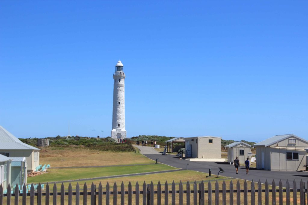
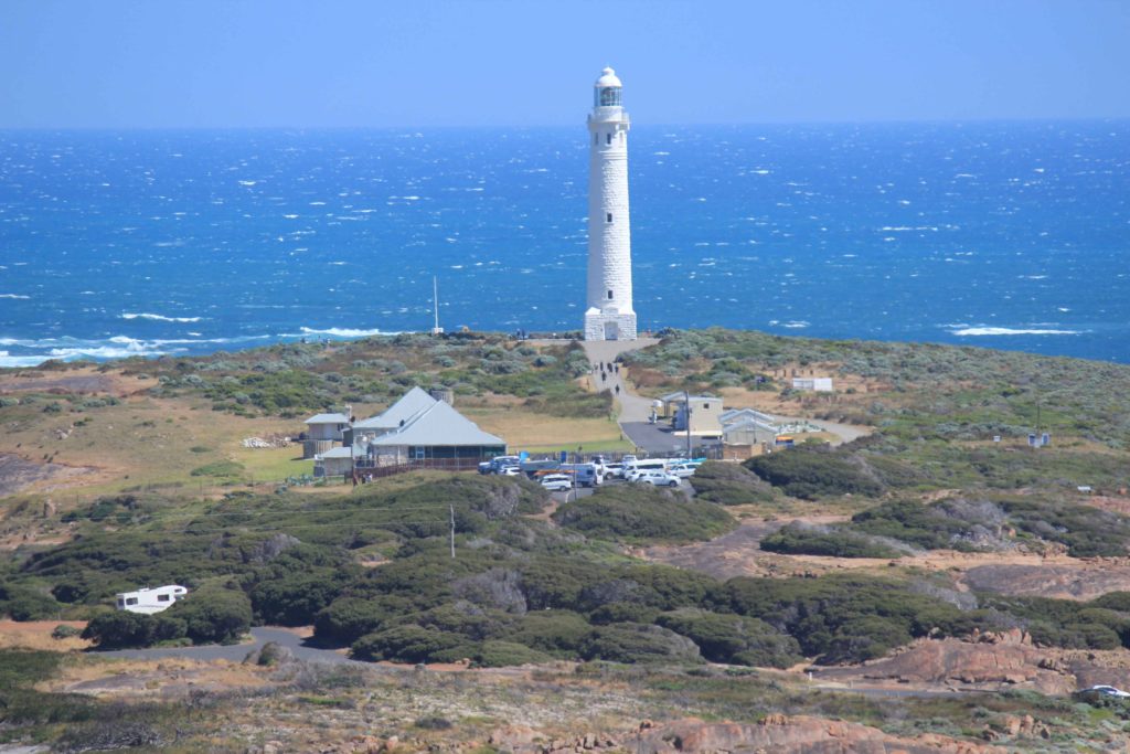
After lunch we carried on inland a bit and with minimal shade and hotter weather we were all feeling the effects of the day.  Our water consumption had also increased quite a bit and we were starting to get a bit low.  This was a tough section of the walk for us all and we wondered if we were smart in deciding to do it all in this warm weather.  We managed to contact Rob and arranged to meet him at Skippy Rocks for a resupply of water.  He was a great sight for some very weary walkers and met us with some nice cold powerade drinks that were gratefully accepted by us all.  Skippy Rocks was not to far from the end of the trek and after our rehydration we set off all re-energised to the finish line.  Just down the track a bit was the log book station where we happily signed off on the trek and continued to the car park at Cape Leeuwin Lighthouse. 

We all crossed the end point together and were a very happy group of trekkers.  It was a big group hug and a few high fives and a great feeling to have completed the walk.  A big surprise for us at the end was an ice cream each that Rob had bought us all.  Never enjoyed a drumstick as much before.  What a relief to finish.  This was definitely our toughest day of the walk and I was really looking forward to giving the alarm clock the old heave-ho and not having to get up early the next day.

Day 6 Fun Facts

Distance – 24.9 km’s

Calories – 1985

The eager beavers raring to go on our final day
Foul Bay Beach walk
The views were always pretty special
Hamelin Island
Morning tea break with our great support person
Cosy Corner Beach
The very impressive Cosy Corner rocks/blowholes
Rock ledge walk at Cosy Corner
Looking back at Cosy Corner
One of the many scenic little coves you walk past
Just another little hill climb
Impressive rock formations at the start of our longest beach walk
Keen to go on our longest beach walk
Lovely little swimming holes al along the beach
The lighthouse in the distance was very slowly starting to look real
It was a long hot walk along the beach and the water looked so tempting
This was a well earned lunch break
That damn lighthouse didn’t seem to be getting any closer as we got more tired
Our last small beach walk just near the end
We did it – a great team effort
We had these smiles on our faces for a long time
Back at camp and toasting with champagne and still all smiles

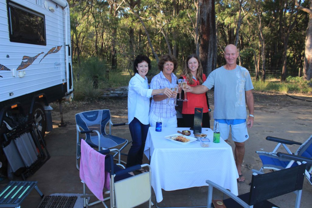
It was a great 10 days away and thanks to Renae for making us get up and finally doing the walk.  It good to know you have achieved something that no one can take away from you.  One thing that definitely made our trek easier was having a support person to drop us off each day, pick us up at the end of each day and meet us at prearranged points with food and water.  It is the best way to do any trek and Rob definitely made our walking days a lot easier. Also having our travel/rest days made the whole trip feel more like a nice break.

Would we do it again.  Not to sure, but would consider it if asked, though not to soon mind you.  Special thanks to Rob for being the rod for us all and to Vicki, Renae and Kaye for not leaving me behind each day on the track.

Uluru – Perth

Well the weather forecast was for warm weather when we left Uluru and they were right.  The morning was hot when we left and it only got hotter as the day progressed.  The next few days weren’t looking any better either so at least we knew what to expect.

From Uluru to the WA border is not that far

It is a nice bitumen road from Uluru to the Olgas with the turn off to the WA border just a few kilometres before you get to the Olgas themselves.  The bitumen goes for a few kilometres along the road to the WA border then turns to gravel.  We had heard the gravel section to the WA border was not in very condition so we were expecting the worse.  The road started off OK and although corrugated we both thought it wasn’t as bad as we had been told.  Like all the comments you hear about gravel roads, the best thing is to get out and drive them yourself.

As the weather was so hot we decided that it was better to travel longer in the car with the air conditioner than do our usual 200 a day then stopping for the night.  Even when we stopped for our morning tea break the sun made inside the van very hot very quickly.  There also weren’t many trees around to park under for shade.  We stopped at Docker River for some fuel which turned out to be a pretty expensive exercise.  Diesel was $2.50 a litre. Luckily we didn’t  need all that much but it still cost a bomb.  If we do this road again we will certainly be bypassing Docker RiverJust out of Docker River is the WA border so we did the obligatory photo stop with lots and lots of flies.

Our lunch stop was at Lassiter’s Cave.  Lassiter stopped in this cave for 25 days in 1931.  He then set out and headed towards Mt Olga hoping to meet up with the rest of his party.  He only got as far as Irving Creek in the Pottoyu Hills a distance of 55 km’s where he then perished from lack of water.  The mystery is still there today about the real or not real reef that he had supposedly found.  It was after we had got past this point in our trip that we started to see camels near the road and there numbers only increased as we drove further.  Our camp for the night was just a nice flat spot just off the road.  There are heaps of areas where you can pull over and camp for the night.  Just be prepared to be visited by dingoes while you are sitting outside.  We had them visit us each night on our trip over and they aren’t very shy either.  They will come within a couple of metres of you before you have to shoo them away.  It can be little bit concerning but they do walk away when challenged.

Morning tea stop near a shade tree we were able to pull up close to
Some of the country you drive through was quite pretty
Lunch stop at Lassiter’s Cave
The story of Lassiter’s Cave and his final days
Lassiter’s Cave
Country with its own natural beauty
WA border. Its a bit run down which is a pity
All the place left to go after you cross the border
Plaque on a tree
Afternoon tea break under the one shady tree near the road
We started to see lots of camels on the WA side of the road
It was a question of who was more curious about who
They stuck close together
Our first nights camp and the start of our regular dingo visits each night

With the weather being very warm we were up quite early the next morning.  We were originally planning to do this trip over a four or five day period but not in this heat.  Today we were travelling around 450 kilometres which is about 2 days travel normally for us.

We saw more of the same for the most of the day with camels being the main feature of the days travel.  Just a few kilometres out of Warburton was where we saw the most camels in one spot.  There would have been around fifty camels all congregated in this area.  There must have been a water/mud hole in the close by as all the camels had a perfectly straight line around there lower halves from sitting in the mud.  It made them have a very different appearance indeed.  Besides our usual coffee stops and lunch stop the days travel was fairly straight forward.  The gravel road was excellent with no surprises and we sat on around 80 kmh which I was very happy with while towing the van.

At Warburton after fuelling up we did visit the Tjulyuru Regional Gallery that shows of selected works of art from local artists.  This was well worth a visit with some excellent pieces on display.  This was also a good break from the drive and to escape the hot weather for a while. 

Gnamma hole between Warburton and Tjukayiria
Camels walking across the road was a new hazard to watch out for
Who’s watching who
Large herd of camels near Warburton with a neat mud line around their waists
This one was separated from its mother
Tjulyurru Regional Gallery at Warburton
Our camp for night 2
Our camp for night 2 – not many trees

We had pretty much broken the back of the trip after two day of travel.  Our next stop was Laverton and this was the end of the gravel for us.  The run into Laverton was pretty uneventful and not really a lot to see.  Much of the same really.  The only decision we had to make when we got to Laverton was which way to come home.  It was either turn left at Leonora and come back to Perth via Kalgoorlie or go up to Leinster and go across to Port Denison at catch up with Rob and Vicki.  The easy decision to make was to catch up with Rob and Vicki so it was Port Denison here we come.

After a one night stop at Laverton followed by stopovers at Leinster and Yalgoo we finally arrived at the white house in Port Denison.  Rob and Vicki have built a lovely house right on the ocean and it was staying at a nice resort, a good break from the caravan for a couple of days.

After leaving Rob and Vicki we drove to Ledge Point for our last night on the road before arriving back in Perth.  We actually stayed at the Big 4 caravan park which is the first Big 4 we have stayed at in all our travels.  Something for us to remember I suppose.

Yalgoo Caravan Park
At the Riebe’s in Port Denison

Well we arrived back in Perth and had lovely cold wet weather to greet us.  Such a contrast to what we had been having.  We both wondered if we had made the right decision to come back, so much nicer following the good weather on the road.

 We have decided to move back into one of our rental properties and do a bit of work on the house.  Not sure if this will be a good move but it will give us something to do for a while.  With Christmas around the corner as well I am sure we will have plenty to keep us busy.  We aren’t sure how long we will spend back in Perth, at this stage we think around 15 or so months.  We might have to arrange a few small getaways with someone during this time though.

We have travelled quite a bit over the last four years and seen quite a bit of our great country.  When we look at the map there is still plenty more to see so our adventures will still be ongoing.  we are just taking as breather for a while.

Our travels with the van over four years. Still lots more to see

Not sure when our next trip will be but knowing Kaye it wont be far off.  I will just sit back and wait to get told what we are doing and where we are going and for how long.

Alice Springs – Uluru

The morning we left Alice springs we had booked the caravan in for a wheel alignment check before heading off to Kings Canyon.  We have one tyre on the caravan that is scrubbing out a bit and thought that we would get it looked at before leaving.  When we arrived to have it looked at the mechanic took one look and said that his equipment wouldn’t be able to attach to our rims.  We then decided to just keep going and head towards Kings Canyon.  This meant that we also got on the road a couple of hours earlier than planned so it wasn’t all bad news.  Just hope the tyre lasts until we get home.

There is still a lot of traffic on the roads around this area, even though the weather is still very hot.  The drive to Kings Canyon from Alice Springs was a 330 km trip for us in one day.  This is quite a big travel day for us as generally we only do around 200 km in a travel day. 

Morning tea break at the Red Centre Way turnoff

We stopped for morning tea at the Red Centre Way turnoff and timed it just nicely for a tour bus  to stop at the same time.   It wasn’t to bad though and there was plenty of room.  We stayed at the Kings Canyon Resort Caravan Park.  It wasn’t to bad but we did think it was a bit over priced at $50 p/n.  They did upgrade us to an ensuite site which was nice and these sites did have a nice view out the back of them overlooking the ranges which form part of the Urrampinyi Hills.  They also warn you about the dingoes that walk through the park as well.  We did see them often and they aren’t shy at all.  If there was no one around at their respective campsites the dingoes would push and try to open containers laying around.  They were also very reluctant to leave even when being shooed away.

Kings Canyon is in the Watarrka National Park
Our upgraded ensuite site at Kings Canyon
Nice sunset views from our site of the ranges behind us
Dingoes were very frequent visitors at Kings Canyon

There are a couple of walks that you can do while at Kings Canyon.  The Kings Canyon Rim walk is a 6km walk and takes you around the rim and past some quite spectacular rock formations.  We really enjoyed this walk.  The first part was the most difficult where you have to climb to the top of the rim.  The rest of the walk from there was relatively easy with only a few small steep sections after that.  There is also the Kings Creek Walk that was a short 1km walk up Kings Creek to a lookout.  It is a pity that everything is so dry at the moment, the country really does look like it is only just surviving at the moment.  They did close the rim walk down later in the morning due to the weather being to hot.  Not sure what the shut off temperature is but it would have been closed by around midday we thought.

At the start of the Kings Canyon Rim Walk
Kings Canyon Rim Walk
Kings Creek Walk – this one is nice and easy

Kathleen Springs Walk was a very easy short walk that took us to the only waterhole we saw with some water actually in it.  It is amazing what a little bit of water can do in a hot dry area for the wildlife and plants.  It was nice to see a bit of greenery and hear birdlife in the trees.   Although only a short walk it took you past some interesting country.  Nice way to fill in an hour.

Kathleen Springs Walk
Old stockyards – Kathleen Springs Walk
Kathleen Springs
Kathleen Springs

After a nice three nights at Kings Creek it was off to Uluru and Kata Tjuta (the Olga’s).  We had phoned ahead and booked to stay at Yulara Caravan Van Park as it was reportedly still very busy with lots still going there to climb Uluru before its impending closure.  This was another 300 km drive for us in one hit.  With intestinal fortitude we made it through.  We stopped at the Mt Conner Lookout rest area for morning tea. This offered you great views of Mt Conner in the distance as well as the general country side.

Morning tea stop with Mt Conner in the background
Mt Conner

We arrived at Yulara and booked into the caravan park.  The area they put us in was OK but a little bit squashy.  There was literally only enough room to park your van and roll out your awning.  We actually couldn’t roll our awning out all the way without going into our neighbours area.  It was only for three nights so all was good.  But at $67 a night we thought it could have been a little bit roomier.  Its not as though they are short on land out here.

Nice and cosy at Yulara Caravan Park

The next day it was up quite early and off to Uluru.  We had planned to do the walk around the rock and were undecided on whether to do the actual climb.  The walk around Uluru is 10.6km on a very easy track.  From this walk there are other small walks that get you closer to the rock itself and into some gorges close to the base.  You also get to see some of the impressive geological features of the rock as well while doing the walk.  When we arrived in the morning the actual climb for the rock was closed due to high winds at the top. The walk took us about 2.5 hrs and we rewarded ourselves with an ice cream at the end of it. 

When we got back the rock was open to climbers.  It was also quite warm by this time so we decided that we wouldn’t bother climbing and sat for about 20 minutes watching people start the climb.  It was interesting to see how unprepared some people are for this climb.  Some were attempting it without carrying any water or wearing a hat.  Others also did not get very far up before they realised that they had a fear of heights and then had to try and come down again.  After watching you could understand why they wanted to stop people from climbing Uluru.

Our first close look at Uluru
Uluru Base Walk
Uluru Base Walk
Uluru Base Walk
Uluru Base Walk
Uluru Base Walk
Uluru Base Walk
Uluru Base Walk
Uluru Base Walk
Uluru Base Walk
Uluru Base Walk
Climbers on Uluru
Climbers on Uluru
Uluru
Uluru with Kata Tjuta (Olga’s) in the background

We were planning on doing the sunset viewing of Uluru but the late afternoons have been a bit cloudy and not the best for viewing.  Hopefully we might get one night before we go.  Kata Tjuta or “The Olga’s”,  were our next walking trek.  These are about a 50km drive from Yulara but along a nice sealed road.  This is also the road we will be taking when we leave to go back to WA.

We really enjoyed the walk at Kata Tjuta.  There are a couple of options that you can do for the walk by either going to one or two lookouts or you can keep on walking and do the circuit.  Which is what we did.   This is about a 7.4 km circuit and takes you around the back of one of the largest dome shaped formations.  Of the two lookouts, Karingana is the pick of them.  This takes you to the Valley of The Winds which at times can be very strong coming between the domes.  On our walk the wind was very gentle, just enough to keep you a bit cooler.  We did prefer our walk around Kata Tjuta more that the walk around Uluru.  There were a lot more interesting things to look at on this walk plus it was also a little bit more difficult as well. 

Kata Tjuta (Olga’s)
Kata Tjuta (Olga’s)
Kata Tjuta (Olga’s)
Kata Tjuta (Olga’s)
Kata Tjuta full circuit walk
Kata Tjuta Valley of The Winds
Kata Tjuta full circuit walk

We finished off our visit to Kata Tjuta with a walk to Walpa Gorge. We were a bit dis appointed with this walk. I think we may have been a bit to spoilt with all the other gorges we have seen on our travels. Also being so dry at the moment did not make the gorge look as good as it probably does usually.

Walpa Gorge Walk
Walpa Gorge Walk
Walpa Gorge Walk

Well tomorrow we leave Uluru and start our next dirt section back to WA.  Hopefully all goes well for us and we don’t have any issues with either the van or car during the trip back.  As the weather is quite warm also we wouldn’t like to be stuck out here any longer than we need to be.

Mt Isa – Alice Springs

This section we felt was the start of our trip back to WA.  From Mt Isa we were heading down to Tobermorey Station and then across to Alice Springs via the Plenty Highway.  We weren’t being very lucky with the weather though and the hot weather was definitely staying with us on our departure from Mt Isa and looks like staying with us for a while yet.

Instead of going down the Diamantina Development Road all the way to Boulia then across to Alice Springs we decided on turning off about 90 km’s south of Mt Isa and head across to Urandangie and then down to Tobermorey.  The gravel road section from the turn off to Urandangie was excellent and I think spoiled us a bit for what was ahead of us.  On the drive to Urandangie there have been a lot of signs put up using old car bonnets that make light hearted jokes of what Urandangie has to offer the weary traveller.  Obviously very different when you get there as there is no McDonald’s or Woollies etc.

Greeting sign at the Urandangie Hotel lets you know what not to expect

At Urandangie you can free camp at the back of the hotel and there is some nice green grass for you to pull up on.  Pam, the lovely lady who owns the hotel shows you where you can pull up and park and you also have use of the toilets and showers at the hotel.  Very friendly and accommodating.  The only downside of the stay at the hotel was that they didn’t do meals.  We had been looking forward to a pub meal and were disappointed to find out that they weren’t available.

There is about four houses at Urandangie and these are mainly all aboriginal houses.  Aboriginals make up nearly all the small population of Urandangie.  Pretty lucky as they have a hotel nearly all to themselves.  That night it was Pam’s birthday and we were invited over to the hotel for a few drinks and help celebrate.  It was good fun and we got to talk to some of the local station owners from around the area.  It was also one of those places where trust was relied upon and when you wanted a drink you served yourself and left the money on the bar.  We haven’t seen that before in our trips around Australia so far.  It was a good night out and we would probably do this part of the trip again to Urandangie if it fit’s in with our travels.

Urandangie Information Centre
Camped at the back of the Urandangie Hotel. Lovely green grass and even some extra company
Urandangie Hotel swimming pool
Urandangie Hotel
Urandangie Hotel
Someone who didn’t quite make it out of town
You just obey all the local signage
Orphaned kangaroos at Urandangie just loved to be cuddled
Orphaned kangaroos at Urandangie

Next day it was onward to Tobermorey Station and our start of the Plenty Highway.  We were told that the road to Tobermorey was good until the NT border then a bit ordinary after that.  Guess what, they were right.  As soon as you cross the cattle grid on the border you were met with a huge dust hole that you couldn’t really drive around or turn sharp enough around to avoid fully with a van on the back.  It was the first of several dust holes on the road section to Tobermorey and you didn’t have much choice but to go through them.  Even right on the edges were very dusty.

When we arrived at Tobermorey we were a bit undecided whether to keep going on a bit or stay.  We ended up staying the night which was OK but in hindsight probably should have driven on a bit further as it was only just getting to midday when we arrived.   They have a nice green camping area and fairly new showers and toilets.  I think its when you see the nice green camping area that you think “lets just stay here for the night”.  We did see a pair of brolga’s that came near the campground which was nice as we were able to get quite close to them.

WE turned left out of Urandangie
Letting you know that the road was going to get a bit rougher
Not much out in this part of the country
We had an early morning tea stop – just no trees for shade out here
Queensland saying farewell to you – you cant see it but there was a huge dust hole just on the other side of the grid
Back in the NT
Can you spot the spelling mistake in this sign
We had a bit of shade at Tobermorey Station
Brolga’s at Tobermorey Station

From Tobermorey it was the start of the Plenty Highway for us and Jervois Station was our next stop.  The road for the first 20 odd kilometres was pretty good and then it slowly got worse and was like that all the way to Jervois.  We were going over some of the worse corrugations we had been on and were down to about 30 km/h in some sections.  I didn’t seem to matter what side of the road you drove on, they were just bad.  The few good sections along the way still had a very rough surface.  It seemed to be a clay base with large rocks that continuously just shook you.

When stopped for a morning tea break and looked in the van, it was a bit of a site.  A plastic bottle of red cordial had split and we had sticky red cordial all over the floor.  Also two drawers had come open and Kaye’s spices had spilt everywhere.  There were yellows, reds and browns all over.  It looked like one of those Indian festivals you see where they throw coloured powder everywhere.  Luckily I managed to find a shady tree to park next to, while I waited for Kaye to clean up the mess.  After all the inside of the van is her domain and I was keeping well clear.

The day was also turning out to be the hottest day we have had so far, so it was good to get back on the road again after the mess was all cleaned up.  When we finally got to Jervois and opened up the van again you can imagine our surprise when most of Kaye’s remaining spices had done the same thing again.  What a day this was turning out to be.  Some learnings for us both for travelling on rough roads.  Luckily there were only a few minor things that had come loose on the van so while Kaye cleaned the inside of the van for a second time, I did my few small repairs on the rest of the van.  We both enjoyed a nice cold drink that night after all the “fun” we had had.  We were also the only ones camped at Jervois for the night, probably says something about how silly we are for travelling in this heat in remote areas.

Just on from Tobermorey Station – the Highway was good up to about here then got worse for us
Giant anthill on the side of the Plenty Highway
Trying to find the shadiest spot we could at Jervois Station
This was the hottest day we had had so far on our trip

Well after a very hot and restless sleep we were on the road again quite early for us the next day.  We left Jervois around 8:30 in the morning and Gemtree CP was where we were headed.  We were told that the road was a bit better from here so we had our fingers crossed that it was.  There were a lot less corrugations but it still had what seemed to be a clay base with large rocks in it that gave a continuous rough ride.  In contrast to the previous day, when we did drive over the sandy sections of the road these were not very corrugated at all.  We certainly did appreciate the smoother sections of dirt.  We also had a lot less dust today as well which was nice for a change.

On our morning tea stop we were wondering what we might find when we opened the door to the van.  Luckily for us it all seemed quite good.  We had broken some plastic catches to the drawers so we replaced those with some spares we had.  Other than that it was all we could see that was wrong.  It was a bit different when we got to Gemtree though.  After we had set up camp and were having a good look around the inside and outside of the van, we noticed that the top plastic hinge of the freezer door had cracked.  The door had stayed shut but this still was a problem for us as were doing quite a bit more gravel on our way home.  There wasn’t much we could do about it at Gemtree and decided to wait until we got to Alice Springs and worry about it there.

We had seen Gemtree advertised on the TV over the course of our travels and were looking forward to staying here.  After seeing the place we were a bit disappointed with what was there.  There wasn’t much shade and the campground was very barren looking.  The pool was nice though and we did go for a late afternoon swim once we had sorted the van out again.

A bit of outback station art
This was a nice smooth section of the highway from Jervois to Gemtree. Good for a smoko break and check the van

From Gemtree it was a nice smooth run on bitumen into Alice Springs.  We are only here for two nights hopefully.  We have decided that to fix the freezer door we will buy some fibre glass repair kit and try mending it with that.  We don’t really want to stay any longer in Alice Springs if we can help it.  We also have one tyre on the van that is scrubbing out a bit so have managed to book this in to have an alignment on the morning we leave.  We would probably be OK for the trip home but thought if we get it done then its one less thing that can go wrong on the gravel.

We had no trouble getting into the caravan park in Alice Springs.  at this time of the year there are not to many travellers on the road.  They are forecasting some temperatures in the low 30’s in a couple of days so hopefully they are right.

Not many in the caravan park with us at this time of year

Well we have done all our repairs that we can see to the van so hopefully it will be good until we get back to WA.  There isn’t much west of Alice Springs that you can rely upon for any parts etc. 

From Alice Springs we are heading out to Kings Canyon, then Uluru for a look.  After Uluru we start our next gravel section back to WA on the Great Central Road.  We would really like the weather to stay a bit cooler for us, hopefully it does.

Hughenden – Mt Isa

Richmond was our next stop over for a couple of days.  This was only a short 115 km drive down the road from Hughenden.  Richmond is also part of the dinosaur trail through outback Queensland.  As the weather is  quite a bit warmer now there definitely are a lot less grey nomads on the road.  Quite a few families travelling as it is the school holidays so the caravan parks can be a bit noisier than usual.

Morning tea stop at Nonda on the road to Richmond

We stayed at the Lakeview Caravan Park and the lake beside the park was very impressive.  We were expecting to see an almost dry lake and were very surprised to see a lake very full of water.  It was also well set up for swimming in, which we did a couple of times.  The lake is called Lake Fred Tinton and is set up for water skiing, canoeing and fishing.  They hold a fishing competition here every year and the lake is stocked with 18 species of fish.

You can go fossil hunting at Richmond as well.  There is a couple of sites about 12 kilometres out of town that are open to the public to  go and look around on.  We thought we would save this for another time as Richmond was turning on some nice warm weather for us.

Kronosaurus Korner is a very informative marine fossil museum on the main street that houses over 1000 registered fossils from the Richmond area.  This museum is well worth a visit.  “Penny” the polycotylid is one of the most complete vertebrate fossils in the world and looks very impressive in its laid out form.   The Cambridge Display Centre is a replica building of the original Cambridge Downs Station Homestead and shows off artefacts and stories from the last 150 years of Richmond’s history.  This was free and also worth the time to look at.

At the Lakeview Caravan Park in Richmond
Lake Fred Tilton at Richmond
Nice colours in Richmond streets
Kronosaurus Korner at Richmond
Penny the polycotylid at Kronosaurus Korner Fossil Museum
Fossils on display at Kronosaurus Korner Fossil Museum
Cambridge Heritage Display Centre

We quite enjoyed Richmond and would easily stay here again if ever this way again.  Julia Creek was our next stop.  This was about 150 km down the road.  We had heard quite a lot about this place and were looking forward to stopping here and having a look around.  Our travel day was also accompanied by some very strong winds and for a change we had the wind behind us.  Normally we always seem to cop a head wind so this was a bit of a bonus for us.

We had planned to stay just out of Julia Creek at the free camp they have there near the creek.  When we got there it was very dusty and not very inviting at all so we decided to go to the caravan park instead.  We didn’t really do very much in Julia Creek at all while there.  We didn’t actually think there was much around to see.  The lady we spoke to at the tourist centre didn’t really help us much at all with things to see and do around the area.

Although Julia Creek was a nice little town we were a bit disappointed with what it had to offer.  If it didn’t have the camp area just out of town that would be very nice to stay at during the cooler months, we felt that there wasn’t much here at all.  At the caravan park they had some hot spring baths that you could use but it was going to cost you $25 each for one hour.  We said thanks but no thanks and went to the local pool for free with the tokens they give you.

Julia Creek Caravan Park
Julia Creek main street
Brolga walking near the caravan park
The impressive Spirit of The Light Horse sculpture at the Julia Creek RSL

To be fair Julia Creek might be one of towns we need to come back to and see if we find it different another time. We are sure it must be a lot nicer when it is a bit cooler and not windy and dusty like when we were here.

Clem Walton Park was our next destination.  This is roughly halfway between Cloncurry and Mt Isa.  We stayed here about four years ago and really liked it.  You can camp on grass right next to the waters edge, you cant ask for better than that in the middle of the outback.  We also weren’t expecting it to be very crowded given the warm weather we are currently having. 

Clem Walton Park is next to Corella Dam that you can also free camp at.  This is quite popular and there were a few camping here when we drove in.  To get to Clem Walton Park you have to go through a second gate and along a bit of a rocky road and I think this puts a few people off from coming into this part.  Clem Walton is alongside the Corella River and with all the bird and animal life it attracts it can be quite idyllic in its setting.  We were also glad to see there was hardly anyone here.  A bit selfish but we do like it when there are not many people around us.  We were planning a two night stay but stayed for three instead.  Although it was warm with a couple of swims each day we were able to cool off easily.

Camping at Clem Walton Park
The best way to cool off on a warm day
We had a daily visitor keeping a eye on us
Lots of interesting wildlife to keep us amused
Corella Dam
Corella Dam
Walking around Corella Dam

Clem Walton is one place you should put on your places to visit.  Our second time here was still as impressive as our first and we would definitely make the effort to stay here again.  Mt Isa was our next stop just a short 70 km drive down the Barkly Highway.  We are only here for a couple of nights to get a few supplies before we start our next stage across the gravel.  The only thing we did do in Mt Isa was go for a picnic lunch out to Lake Moondarra.  This is the main water supply for Mt Isa and they have set up picnic areas around the edge.  Its a nice short drive out and well set up.

Lake Moondarra at My Isa

From Mt Isa we start our trip to Alice Springs.  We have decided to go via the Urandangie Road with our first night a stopover at the Urandangie Hotel.  We have read some good stories about this hotel so all going well we will be having dinner tomorrow night at the pub.  Going this way we will be travelling a bit more gravel so hopefully the road gods are kind to us and the road isn’t to corrugated.  Time will tell.

Mission Beach – Hughenden

Well it was very hard to leave Mission Beach but the road home was calling.  Milla Milla was our next stop inland.  There were a few things to see around this area with the waterfall drive being high on the list.  Milla Milla is mainly dominated by the diary industry and with the rolling green hills of the tableland, some of the scenery was very postcard like.

We booked into the Milla Milla tourist park and it was nice to get back to some sensible pricing for caravan park stays.  You certainly notice the difference after being near the coast.

At the Milla Milla Tourist Park
Milla Milla main street
Milla Milla – its all about the diary industry here
Statue for Christie Palmerston – early explorer of the district
Remains of a 870 year old Kauri tree that fell during a storm near Milla Milla

We did a couple of scenic drives around Milla Milla that took you through a lot of the diary farms around the district and also to some walks around the area.  Its a pity they don’t really name the drives, they just list them from 1 to 7 and you can do them as you like.  If you have the time they are certainly worth doing.   We chose one drive that took us along the road towards Ravenshoe but didn’t go all way there.  We did a couple of waterfalls then a short walk along the Hinson Creek Trail then home.  Filled in the afternoon very well.

Beautiful country around Milla Milla
Souita falls near Milla Milla
Pepina Falls near Milla Milla
On the Hinson Creek Trail

The Waterfall Drive just out of Milla Milla takes you past four waterfalls and is only around a 20 kilometre drive overall.  It also takes you to the Mungalli Creek Dairy that sells its own range of yoghurts and cheeses and they also do a very nice lunch as well.  A lot of the locals were saying how dry it has been around the area but we were still impressed at how green it all was.   The waterfalls were all flowing really well and it all made for a great day out.  This area with the waterfalls was also very popular for day trippers from the coast to drive to for the day.

Milla Milla Falls
Milla Milla Falls
Milla Milla Falls
Zillie Falls
Zillie Falls
Zillie Falls
Zillie Falls
Elinjja Falls
Elinjja Falls
Mungalli Waterfalls
Mungalli Waterfalls
Mungalli Waterfalls
Platypus at the top of Mungalli Waterfalls
The gentle waters at the top of Mungalli Waterfalls

Probably the pick of all the waterfalls for us was when we did the drive to Wooroonoonan NP and the walk into the spectacular Nandroya Falls.  This was a 7km return walk and was well worth it.  The walk is a loop and takes you through some unspoilt world heritage rainforest with a lot of interesting features to take in while walking..  The falls  would be around 40 plus metres high and very impressive.  What is also good about these bit longer walks is that most times you are the only ones there which makes it even better.  This would be the pick of our stay in Milla Milla.

The start of our walk to Nandroya Falls
There was pretty awesome scenery on our way to Nandroya Falls
The walk to Nandroya falls was our best yet
On our way to Nandroya Falls
We really enjoyed this walk
The spectacular Nandroya Falls

We really enjoyed our short stay in Milla Milla but it was time to leave.  Atherton was our next stop for a couple of nights.  This was only a short 40 kilometre drive up the road.  Love these short drive days.  We were catching up with Janet in Atherton.  We used to live next door to Janet in Wickham and had arranged to catch up and go out for a meal.  We stayed at Bonadio RV and Nature Park about 8 kilometres out of Atherton.  This was a great park situated on a farm with a large creek at the back that had a lot of platypus in it.  In the late afternoon you could walk along the creek and see anywhere up to 6 or 8 platypus in the water. 

We also did a day drive out to Nerada Tea Plantation.  This was supposed to be the place that you could almost be guaranteed to see tree kangaroos.  When we were here a few years ago we weren’t lucky enough to see any.  This time lady luck was with us and we saw two tree kangaroos.  This was the first time we had seen them in the wild.  We felt very lucky indeed.

Bonadio RV and Nature Park
Platypus at Bonadio Nature Park
Nerada Teat Plantation
Tree kangaroo at Nerada Tea Plantation
Night time animal feeding at Bonadio’s

It was great to catch up with Janet and Nikki and both seemed to be doing well since we last saw them.  From Atherton we drove a little bit southwest and stayed for a couple of nights at Pinnarendi Station Stay.  Our drive here took us through Ravenshoe which is Queensland’s highest town, which was also our morning tea stop.  We had stayed at Pinnarendi previously on our last trip through and they were only just starting out and weren’t really ready for visitors at that stage.  It was great to see how far they had come since that time. 

They do meals as well now and Kaye can fully recommend the coffee’s.  Not for me though.  Apparently the breakfasts are also very good but we didn’t partake in that indulgence.  The AFL Grand final was also on while we were there so that was a day of not doing very much at all.  Hot dogs and beers for lunch was the order of the day.  That night we had wood fired pizzas and if you are ever at Pinnarendi we can fully recommend these.  Very moorish and yummy.  They have a couple of walks you can do from the camp ground to some dams which we did both days.  Great hosts and a great stay, thoroughly recommend.

Morning tea stop at Ravenshoe – Queensland’s highest town
All set up at Pinnarendi
Setting out on the Dam Walk at Pinnarendi. The countryside was getting drier for us now.
The Garden Dam
The Main Dam
No1 Dam
No1 Dam

From Pinnarendi we did a 200km trip and stayed at the Moonstone Hill Campsite.  This is in the Blackbraes National Park that  is on the Kennedy Development Road that was a mixture of gravel and bitumen.  Right next to the campground is a fossicking area where you are allowed to look for moonstone.  This is a crystal like rock.  We tried a little bit of fossicking and found a couple of small pieces.  We didn’t really have the right equipment for fossicking which made it a bit hard.  The country here is very hard and rocky and we had trouble breaking into the surface.  Good fun though and filled in a bit of time.

Camped at Moonstone Hill Campsite
You can see part of the Kennedy development Road on the left
Fossicking for moonstone
The outline of a tree that has fallen and burnt out on the ground
Termite mounds at Moonstone Hill

We were the only ones at Moonstone for the night.  As the weather is getting a bit warmer we aren’t expecting to see to many travellers on some of these less travelled roads.  Hughenden was our next stop which was another 180km along a reasonably good gravel/bitumen road. 

Apparently we had been to Hughenden before but it didn’t ring any bells with me.  Kaye could remember it though I couldn’t.  Hughenden is one of three towns that form the dinosaur trail in Queensland.  The other two are Richmond and Winton.  There have been lots of dinosaur fossils found in this area and there seems to be a bit of healthy competition between the towns over this. 

We did a couple of drives while in Hughenden.  One was a 95 kilometre loop called the 4wd Basalt Byway.  We packed a picnic lunch and thought we would do the drive, stop somewhere for lunch then come back into town.  There really wasn’t much to see on the drive.  One lookout stop and that was about it.  The drive took you through some station country but there wasn’t all that much to see.  We ended up back in town just after midday so had lunch in one of the local parks.  After lunch we went out to Mt Walker to the lookouts.  They have set up six different lookouts on top of Mt Walker and you can walk to each one for a different view of the landscape.  They have done it really well and was a lot better than our morning drive.

Hughenden Allen Terry Caravan Park
Hughenden main street
Big windmill at Hughenden
The Ernest Henry Bridge over the Flinders River at Hughenden
Dinosaur statue at Hughenden
View from lookout on the 4WD Basalt Byway Drive
View from one of the lookouts at Mt Walker
Mt Walker at Hughenden

Its been good to be back travelling again after our extended break at Mission Beach.  It didn’t really take much to get into the groove with setting up and packing for a move.  We are noticing that the weather is getting a bit warmer than we had thought it would.  We are hoping that it doesn’t get to hot for our trip across the centre.

Mission Beach – Part 2

Well we are into our second half of our Mission Beach holiday and we decided we would stay here for an extra week. This will make a total of 5 weeks when we finally leave. The weather at the moment has been pretty special and staying here a bit longer was an easy decision to make. Not that we have anything different planned for the extra week. Some of the grey nomads from Vic and NSW are slowly heading back south so the caravan park is slowly emptying out which is nice.

Still enjoying the beach life at Mission Beach

There was a Red Bull Defiance Race leg held at Mission Beach on our next weekend. This involved competitors in teams of two riding from Mission Beach to South Mission Beach through the hills , kayaking over to Dunk Island, running around Dunk then kayaking back to South Mission Beach then running along the beach to the finish line at Mission Beach. While we were watching on the beach the skydivers landed on the beach before the race finished which added a bit of spectacle to the event. Filled in a couple of hours and was good to see some people doing something strenuous.

Skydivers landing on the beach
The winners of the Red Bull Defiance

While here at Mission Beach we also ran into Dave and Pam who we were camped next to three years ago when we were here. They come up here every year for around 4 months. We met them when we stayed at the previous caravan park. We ended up catching up a few times for a meal at the local Mission Beach Resort that does a great fish and chips for $15 on Friday night. It was good to see that they hadn’t changed to much and were both enjoying life and holidays.

Just outside of Tully is a place called Alligators Nest which is a very nice picnic and swimming area. One thing that we still are always amazed at is how crystal clear the water is in the rivers here. With the lush greenness of the flora and the contrasting clearness of the water it really is  a great part of the country. They are very lucky to have these type of natural amenities right at their back door.

We also did a weekly trip into Tully for some shopping provisions that we couldn’t get in Mission Beach. This was also a good reason to get out and about a bit and look around a bit more while we were out.

Alligators Rest just outside of Tully
Cane cutters tribute at Tully
Tully’s Golden Gumboot that is around 7 mtrs high that shows Tully’s record rainfall for one year.

We both have never been to the Great Barrier Reef so we booked a day cruise for one day out to the reef that left from Dunk Island. We caught the water taxi from Mission Beach over to Dunk Island then boarded our boat there for the cruise. You could either snorkel or scuba on the cruise and we were only snorkelling. It was a good sized boat that was only about half full so that made the day even nicer. We also had a great day weather wise with light seas and winds. They took us to two spots for viewing the reef and both were OK. It wasn’t the best snorkelling we have seen but we both enjoyed the day out . They provided a good lunch and the on board facilities were quite good as well.

Coming onto Dunk Island – beautiful blue skies as well
Ready to board our boat to the Great Barrier Reef
Sand bar one the GBR
Enjoying our day on the reef
Lovely blue waters and flat seas made for a great day out

We did a great walk one day from South Mission Beach along the Kennedy Walking Track that took you along the coast around to Tam O’Shanter Point and to the mouth of the Hull River. We didn’t go all the way to the Hull River, didn’t really see much point in doing so as that part of the walk was just along a beach and we had been seeing lots of those while here. The walk up to the point was very interesting and with some sections on a boardwalk it made for some nice scenery. We ended up doing this walk a couple of times as it is interesting and relatively easy going.

Start of the Kennedy Walking Track
Kennedy Walking Track
Lugger Bay – Kennedy Walking Track
Trees lining the beach at Lugger Bay on the Kennedy Walking Track
Kennedy Walking Track
These warning signs are quite common on all beach walking tracks
Some of the washed up drift wood is quite impressive looking
Fish in the water at Tam O’Shanter Point

We were keen to try and see some more Cassowary’s and were told that you could almost be guaranteed to see them at Etty Beach. Apparently they feed them at Etty Beach which very much frowned upon. We took the 50 km drive to Etty Beach and were fortunate enough to see two Cassowary’s. One was an adult and the other was a very mature chick that was now out on its own. The chick was just starting to get some blue colour around its head and its feathers were also just starting to go dark.

Etty Beach
Etty Beach
Cassowary eggs
The mature Cassowary chick we were lucky to see.
Just starting to change to blue around its head
Cassowary’s do have large feet even when there not fully grown
Adult Cassowary just came and walked straight past us

We were told of a place that was described to us by some locals as a hidden gem and worth the drive out to. We decided to give it a try and so it was Nyleta here we come. We packed a picnic lunch and set off. We weren’t sure how to get there and we were really hoping that Google Maps would lead us in the right direction. We ended up nearly getting there. The local shire had closed the area off due to vandalism as we found out when we got to the gate. So we had a quick look at the river near the gate then decided to back to El Arish and have a counter lunch at the old pub there. Made for a different day out.

The river near Nyleta
El Arish Tavern does a great burger

The Dreaming Track walk was a short walk just a few kilometres out of Mission Beach. Like all walks around this area it takes you through some lush green rain forest, over a couple of creek crossings and crystal clear rock pools. This was a nice easy walk on flat ground along a very well defined path. We were also very lucky to see a Cassowary come out of the forest in front of us. When it came out we stopped and it slowly started walking towards us. When it got within about 5 metres we stepped off the track to let it pass. It kept walking right up to us and turned off when about a metre from us and disappeared into the forest. Quite an experience really. After it had gone a few steps into the forest it was really hard to see and camouflaged itself very well into the greenery.

Starting off on the Dreaming Track Walk
This is where the Cassowary came out of the forest in front of us. You can see it in the background
The Cassowary just casually kept walking towards us
When it got to within about a metre of us it turned off and disappeared into the forest
Creek crossing on the Dreaming Track
Creek on the Dreaming Track

While at Wongaling Beach CP there was Harvest Full Moon which had attracted a big gathering down at the beach to watch it rise. The Harvest Moon is when the moon rises as the sun is setting and this creates a brighter full moon. In the early days before modern machinery this used to enable farmers to work later into the evening with the extra natural light they got. From this it got its name as the Harvest Moon. Also this particular Harvest Moon was a special one as it also coincided with the moon being at its furthermost point from the earth. It will be over 40 years apparently until this particular event lines up again. Something else to try and hang around for I suppose.

The Harvest Moon rising over Wongaling Beach

A day trip to the Gambil Yalgav Misty Mountains was a day trip that we planned. The drive to the mountains took us through some very nice diary country with rolling green hills and very contented looking cows. We decided to walk the Gorrell Trailhead and walk part of the way to McNamee Creek. This was around a 7 km walk but along a pretty easy track. Luckily for us we had a nice clear day for the walk with no rain or mist in the air. As with all walks around this area, they take you through very lush and spectacular country side. When we got to McNamee Creek the water was flowing very well and it was a great place to dip your feet in and cool down. On our way back after the walk we stopped at Paronella Park for a look. We didn’t bother going all the way in and just looked at it from the outside. As we had stayed here previously, a quick walk around from the outside was enough for us.

On the drive to Gambil Yalgav Misty Mountain we passed through some beautiful countryside
The start of our walk to McNamee Creek
McNamee Creek
McNamee Creek
McNamee Creek
McNamee Creek
McNamee Creek
A butterfly we saw on our walk back to the car
Paronella Park
Paronella Park
Paronella Park

We had heard at our caravan park that there were some Cassowary’s hanging around at Garners Beach which was a very short drive north of Mission Beach. We decided to go and see if we could see any and as we hadn’t been to this beach before thought the drive would be good anyway. As is was we didn’t manage to see any Cassowary’s but the beach was very nice, as are all the beaches it this area.

Garners Beach
Garners Beach
Garners Beach

Our last day at Mission Beach also coincided with the Cassowary Festival. This is held each year and is centred around the Cassowary with lots of stalls giving out information about the Cassowary and other fauna in the area. There were a few market stalls as well to help keep you amused. Nice way to compete our stay in the Mission Beach area.

Mission Beach’s Cassowary Festival
Mission Beach’s Cassowary Festival – fish made out of waste collected from the sea

Well after a great five weeks in this fantastic part of Queensland and Australia we sadly have to pack up and head off. We have really enjoyed our little break from travelling and will definitely be back again sometime. We just hope that it doesn’t get to overdeveloped and spoil the relaxed atmosphere they have created here. Fingers crossed.

From Mission Beach we are heading inland to the table lands and towards Atherton to catch up with some friends. Hopefully the weather stays as good for us.

Bowen – Mission Beach

Townsville was our next stop after Bowen.  We were only planning to be in Townsville for two nights so didn’t have anything really planned while here as we had spent time here previously.  We stayed at the Riverside Convention Centre in Townsville which is on the banks of the Ross River. This is a park run by the Seventh Day Adventists and is in a great location near the river.  You hear and read different reports about the park but we find it ideal with nice big open areas and lots of grass.

Riverside Gardens Caravan Park

We went looking for some bits and pieces for the caravan that we needed while in Townsville, but considering the size of the city they don’t really have anyone with a great range of accessories.  It filled in a couple of hours driving around though.  The only touristy thing we did was a visit to the Townsville Aquarium.  This was very good with a huge range of fish that are seen around the Great Barrier Reef.  We spent a couple of hours here looking at all the fish they had on display.  Near the caravan park they have a great walk along the banks of the Ross River and you are able to cross over at the weir and walk along the other side to another bridge and cross back over again.  This is around a 6 kilometre walk along easy paths.

Townsville Aquarium
Townsville Aquarium
Townsville Aquarium
Townsville Aquarium
Ross River Townsville
Ross River Weir
Ross River Weir

Finally our next top was Mission Beach.  This had been our planned destination for a long time and it did feel like that we weren’t meant to get here at some stages, but we finally made it.  We are staying a few kilometres south of Mission Beach at Wongaling Beach.  The caravan park is the Dunk Island View Caravan Park which is directly opposite Dunk Island.  The park is lovely and green with nice large sites.   Dunk Island is only a couple of kilometres off the coast and a short water taxi ride away.

Finally arrived at Mission Beach
Set up at Dunk Island View Caravan Park
Wongaling Beach right across the road from the caravan park
Wongaling Beach right across the road from the caravan park with Dunk Island just over the water

We didn’t have a lot planned for our four weeks here, just have a holiday and break from constant travelling.  We have been here for two weeks now and have had a very relaxing time.  The weather has been absolutely fantastic.  We have only had one rain day and that had all cleared up by around 1pm then it was blue skies again.

Lacey Creek walk was again on our list.  This is a nice easy walk through some lush tropical surrounds and with a gently flowing creek.  We were hoping to see a Cassowary and Ulysses Butterflies but sadly we didn’t.  This is a known spot for them but it wasn’t our day.  The walk was nice though.

Lacey Creek walk
Lacey Creek walk
Lacey Creek walk
Lacey Creek walk
Lacey Creek walk
Lacey Creek walk

We did a day trip out to Murray Falls which was about 40 kilometres away just past Tully.  The camp ground here was really nice with the whole camp ground being grassed.  It was right along side the creek that flows after the falls and with flushing toilets it seemed like a nice place to stay.  Probably the only downside we saw was it had a bit too much shade.  Murray Falls was flowing very well and the swimming area is nice a calm with easy access to the water.  We were lucky enough to see some Ulysses Butterflies while at Murray Falls.  Down near the swimming area we saw three flying around and trying to take a photo of one of them was a real challenge.  They are very flighty and don’t stay still for long when they do land.  Needless to say my patience wore thin and I gave up trying.  A very nice day out still the same.

Walkway to Murray Falls
Murray Falls
Murray Falls
The top of Murray Falls
Murray Falls swimming area

Clump Mountain is just on the northern fringe of Mission Beach and is an easy walk up for some excellent views over Mission Beach.  We did this last time here as well and it was an easy choice to do it again.  Its also quite a popular walk as well and you pass quite  few people when doing it.

The start of the Clump Mountain walk
One o the view on Clump Mountain walk
View over Mission Beach from the top of Clump Mountain
Our wet Sunday so we collected the rain water and washed the car – as you do
The rain was very heavy till around midday then it was blue skies after

There are lots of food stalls around Mission Beach so we have been doing most of our basic vegetable and fruit shopping at these.  The only downside with this is that it can be a bit hit and miss at times, you still need to go to Woollies every now and then.

Banana plantation at one of the roadside food stalls
Stocking up on fruit and vegies

We booked onto a tour of the Tully Sugar Mill for a day out.  The mill is right on the edge of town and is the major employer in town. It is now owned by the Chinese and the locals seem to be quite happy about it so far.  The tour takes you right through the mill and goes for about two hours.  It cost $25 each and was worth the money.  Its very comprehensive and you didn’t feel like you were being rushed through.  All the sugar milled in Tully is exported with none kept for our domestic market.  Most is exported to China and also New Zealand, USA and South America.

Tully Sugar Mill
Ready for the tour
Train in the yard ready to be unloaded
Train waiting at the dumper ready to be rotated and emptied
Dumped sugar cane being fed into the mill
Tully Sugar Mill
Tully Sugar Mill
Tully Sugar Mill
Tully Sugar Mill
Tully Sugar Mill – drying kilns

Near Tully is Mt Tyson just on the edge of town.  Kaye decided that this would be a good idea to climb and tick off.  The walk started off easy but boy did it change not far up.  The track was very washed out and some of the steps were huge, you really had to scramble up some sections.  We thought Bluff Knoll in WA was quite hard and this was on the same scale.  The sign at the start of the walk does not tell you at all about the walk.  The view at Scouts Lookout was worth the effort though.

If ever doing this climb you wouldn’t want to do it if it had just been raining or was about to rain.  You do climb up some quite muddy sections that would be very slippery in the wet.  Coming down would be the worse.

The start of the climb up Mt Tyson
A lot of the track was quite washed out
The view from Scouts Lookout was pretty awesome

Every Sunday in Mission Beach they have the Rotary Markets.  For the size of Mission Beach we felt these markets were quite large.  They have all the usual stalls with lots selling everything from home made pickles and jams to clothing and knick knacks.  We did feel this time though that there seemed to be less fruit and veggie stalls which as a bit disappointing.  Still they were nice to walk around and very popular.

Mission Beach markets
Mission Beach markets – getting a one on one lesson

Well its been a pretty relaxing first two weeks at Mission Beach.  Hopefully the next two weeks will be just the same weather wise.  So far we have had most days around 25/26 degrees, just perfect.  We are planning on doing a day trip out to the Great Barrier Reef in the next week.  We just have to pick a day with light winds, something for Kaye to plan……. 

Dalby – Bowen

After our goodbyes to Jade, Declan and Lachlan we headed off for Boondooma Homestead for the night.  Boondooma Homestead and outbuildings are on the original site of Boondooma Station from 1847 when the Lawson brothers established the station.  It is now a place you can either day visit or stay either around the grounds or in cabin accommodation.  It is very well preserved and shows a good insight into the perseverance of the early settlers and how over time they developed their stations with the basic requirements similar to a small village.  The Stone Store at Boondooma was constructed between 1855 and 1858 and is believed to be one of Australia’s earliest buildings built to metric measurements.   They had a nice easy going afternoon fire each day with drinks and also a morning tea get together each day for a gold coin donation.

At Boondooma Homestead
The Stone Store – Believed to be one of the earliest buildings built using metric measurements
Inside the Stone Store
The old Post Office building
The ladies has seen better days – Kaye refused to use it
Boondooma Homestead
Boondooma Homestead
We were carefully watched by one of the locals
These old stockyards are so full of character

Cania Gorge was our next stopover.  When we arrived at the caravan park we quickly realised we had stayed here previously.  Its a very well laid our park with reasonably sized sites.  They have some good walks right next to the park which we also remembered doing and did again.  The caravan park we stayed at is at the beginning of the Cania Gorge National Park and the road in finishes up at Lake Cania that did have quite a good level of water in it.

We did the Fern Tree Pool walk which was only around a 6 kilometre round trip.  When we did this previously there was more water around.  This time none of the creeks were running at all.  There are some nice views along this walk.  When we actually got to Fern Tree Pool we were the only ones there and lucky enough to see plenty of Scarlet Honey Eaters around the pool.  The longer we sat there quietly the more that came down into the bush alongside the water.  It was a great display and only stopped when more people turned up and they flew away.

At Cania Gorge Tourist Retreat
Lake Cania
Gateway to the walks from the caravan park
On the Fern Tree Pool walk
View from Giants Chair Lookout
Fern Tree Pool
Scarlet Honey Eaters at Fern Tree Pool
Fern Tree Pool walk
Bird feeding time at the caravan park

Lake Victoria was our next destination.  This is a free camping area on the A3 south of Dululu.  The lake is just off the highway on a pretty good gravel road in that they actually graded the day after we arrived.  There were about a dozen vans when we arrived but you are very well spread out and not very close to anyone if that’s what you like. 

The lake had quite a good level of water in it and also an abundance of birdlife including a few black swans.  If you wanted you could also catch cat fish in the lake as well.  We saw some pretty impressive carcasses when walking around the lake.  There were no toilets at the lake which I think helps keep some people away.  It was also nice to have a camp fire every night and we also did a camp oven cook up of roast lamb.  It came out very nice.  With a few walks around the lake and surrounds we had a very nice three days at the lake.  Definitely worth a stop over if your ever in the area.

Our Lake Victoria camp
Magical sunsets every night with a camp fire
Lake Victoria
Lake Victoria
Some sections were a bit muddy to walk through
Lake Victoria bird life

We reluctantly packed up and left Lake Victoria and headed off for Dingo.  This is a very small town that is like a cross road town to either keep heading north on the inland highway or turn off and start to go towards the coast.   They have a nice little caravan park in town that fills up quite a bit by the end of the day.  The lady that runs the park gets her guitar out at night and sings a few songs around the communal fire.  Quite a good atmosphere and good for a one night stop over.

Dingo’s Dingo statue

From Dingo we were heading towards Middlemount for a short stay.  This is a coal mining town and our Wiki Camps guide said you could stay at the back of the pub in town.  We checked this out and it didn’t look very appealing at all.  We had another look at the map and just around 20km out of town was Bundoora Dam.  This was a free camp area near the edge of the dam.  Well we were very glad we made the decision to stay out here.  What a great place.  There were around 30 vans there when we arrived but with plenty of room no problems. 

All along the edge of the dam were fireplaces that other campers had made and we just reversed up to a vacant fire spot and were ready to go.  There was grass all the way to the waters edge and you could reverse right up to the edge if you wanted.  Great views for everyone over the water.  With flushing toilets it felt just like a caravan park.  Definitely on the return list if were ever this way again.

Camping at Bundoora Dam
Lots of birdlife of Bundoora Dam

Bundoora dam was a very hard place to leave.  With the great weather we are having at the moment this place was idyllic.  However the coast was calling and Nebo was our next stop.  This is quite a small town and we stayed at the Stay Awhile Caravan Park.  This was $10 p/n  with power and water.  The amenities weren’t the flashiest but they worked and were clean so you couldn’t complain at all.  As we were in area around a lot of coal mines all the towns in the area are heavily reliant on people from the towns working on these mines.  When coal mining eventually does stop these sort of places will really feel a lot of pain.

We went to the Nebo Hotel for a meal one night.  This hotel was very busy for a small town.  They have dongas out the back to accommodate mine workers and each night the hotel is very busy serving these guys as well the odd few tourists like ourselves.  It was a pretty good meal and you also got dessert included in the price as well as tea or coffee.  We did a day drive from Nebo to Mt Britton which is an old abandoned gold mining town.  This is situated in some very spectacular country side with amazing views.  You can also camp out here which looks as though it would be very nice.  There was only one camper out here when we arrived.  We had lunch under an old Moreton Bay Fig that was planted by the father of the first baby born in Mt Britton.  Mt Britton also had a cemetery with some of the best views we have seen for a cemetery.  You were quite lucky if you were buried here I think.

Nebo Hotel
Nebo main street
Mt Britton
Display of mining equipment at Mt Britton
Site of the Mt Britton Hotel
Lunch under the historic fig tree
Mt Britton cemetery with its great views

Collinsville was our next stop.  We were gradually getting closer to the coast.  In Collinsville we stayed at the showgrounds.  You are allowed to stay here for 72 hrs free of charge.  There is no power and you are able to fill up with water from the taps around the place.  When we arrived it was fairly crowded so we stayed just the other side of the buildings and away from everyone else.  Probably a bit snobby but a lot less crowded.

Collinsville really does have a coal mining heritage and there are a few displays around the town that show this off.  Collinsville also calls itself the Pit Pony capital of Australia.  Pit Ponies were the horses that worked underground hauling the coal wagons before they became mechanised.  We did the Coalface Experience tour that gave a good history of mining in the area with some good videos to watch throughout the exhibition.

On one of days in Collinsville we did a drive out to the Bowen River Hotel for lunch.  This is a old hotel that was originally built as a homestead in 1862 and later turned into a coaching inn.  It was fully restored in 1999 and has some very unique characteristics to it.  They hold the annual Bowen River Rodeo here and if your in the area it looks like it would be a great weekend.

Set up at the Collinsville Showgrounds
Display at the Coalface Experience
Pit Pony statue at Collinsville
View of Collinsville from town lookout
Bowen River Hotel
Would have liked to be around when this actually happened – if it did at all
Bowen River Hotel
Bowen River Hotel
Bowen River Crossing
Bowen River
Large solar farm near Collinsville

Bowen was our next stop.  We had finally got to the coast.  It seems to have taken us a lot of travel to get this far north and to the coast.  We are in Bowen for a week so it will be nice to chill out for a while and have a break from travelling for a while.

We have been to Bowen previously and this time decided to try a different place to stay.  We chose Wangaratta at the Beach.  Its quite a nice park, very full with most caravaners seeming to be ones that come and stay here for around 4 months before heading back south.   The sites are quite large with enough room to have your awning out and your car down the other side.

Bowen is home to the Big Mango.  Seems a lot of towns around here try and promote something they feel they are famous for.  During World War 2 Bowen was base to a large force of Catalina’s and on the foreshore they still have the hard stand area where they were removed from the water for maintenance and the like.  They have a good visual display that at high tide looks as though the Catalina’s are landing on the water.  We also did  visit the local markets.  We haven’t been to any markets for quite a while so it was good to walk around and look.  We managed to buy some very nice pineapple which made us really feel like we were in the tropics.

A day drive to Dingo Beach was nice.  This is about 80km from Bowen on the way to Arlie Beach.  Its a nice little spot that has a beautiful white sand beach and with a couple of islands not far off the shoreline is very idyllic in its outlook.  Mullers Lagoon in Bowen is a great water feature that supports a huge range of birdlife around it.  The walk around the lagoon is very relaxing nice.  We were thinking of doing a day trip to the Whitsunday’s again while here but you can only do them from Airlie Beach.  We really didn’t feel like driving that far to this, so will save it for another time.

Bowen’s Big Mango
Catalina memorial on Bowen Foreshore
Horseshoe Bay Bowen
Queen’s Bay Bowen
View from Rotary Lookout at Horseshoe Bay
Bowen Harbour
Bowen markets
Bowen markets
Stopped at a roadside fruit and veg store
Artwork at Mullers Lagoon
Mullers Lagoon
Mullers Lagoon
Mullers Lagoon
Murals on Bowen’s water tanks
Dingo Beach
Dingo Beach
Dingo Beach town centre

We have had a very nice week in Bowen.  It seems to have gone a bit quicker than we would have liked.  Townsville is our next stop for a couple of nights then its Mission Beach for 4 weeks.  We really enjoyed Mission Beach last time we were there so hopefully this time is the same.  We are staying in a different caravan park this time so fingers crossed we have made a good decision. 

Anyway its our last night in Bowen so its off to the pub for a night off from cooking for both of us…….

Goondiwindi – Dalby

Jade and the boys arrived in Goondiwindi after our second night at the show grounds.  They didn’t arrive till around 6pm and it was getting quite dark by then.  After all our hellos it was set up the van and get the boys fed.  The next morning we were heading off to Bretims Farm for a few days and some camping.  The weather was still quite cool in Goondiwindi so we were hoping that our farm stay was going to be sunny and a bit warmer.

They had been setting up for a polo cross carnival at the showgrounds while we were there and when we woke the next morning the event was getting underway very early. This was going to be a two day event with both seniors and juniors competing.  The juniors were on the oval next to us so we watched them for a while before heading off on our trip to Bretims Farm.

Polocrosse event at the Goondiwindi Showgrounds

As much as we were enjoying watching the polocrosse players it was on the road to our farm stay for a few days.  The weather was nice and sunny so things were looking good for us.  We stopped for morning tea along the way at Welarbon and saw some nice silo art.  Queensland and a lot of the eastern states are really embracing the idea of painting there silos and town water tanks which helps turn some ugly eye sores into nice art pieces.  Most reflect the pioneering history of the town or district and are very impressive as well.

The silo art at Welarbon

We arrived at Bretims Farm Stay and at first weren’t to sure if we had made a great decision.  We were expecting something that was a bit better set up with a few more facilities.  The camping area is huge  with a lot of flat ground and choices between sunny spots that we wanted or in the shade of trees.  We chose a spot out in the open and set our selves up for a few days.  There was plenty of firewood available and they supplied us with a fire pit as well.

There was a family staying at the campground permanently and they also had a couple of children and that gave Declan and Lachlan some play mates while we were there.  Bretims was a combination of Brenda and Tim’s names and they were great hosts.  We found out the farm stay hadn’t been going all that long and they were trying very hard to get it more developed  Their biggest problem like all people find when trying to set up something is the red tape involved.  They have a few sheep on the property and they made a special day for the boys to help with rounding them up and assisting with the ear tagging .

We did a day trip into Toowoomba and visited the Cobb & Co Museum.  They have a great collection of old carriages on display as well as an interactive display area that the boys liked a lot.  They also have a vintage trade workshop area where you can learn blacksmithing skills, wheelwrighting skills and create your own twelve spoke wagon wheel as well as leather making and stained glass lead lighting courses.  A great initiative that seemed to be quite popular.    

 After our stay at BRETIMS  we would probably go back again if ever in the area.  They really did try hard to make our stay enjoyable and if they can slowly improve their facilities it will only get better.

Camped at Bretims Farm Stay
Camped at Bretims Farm Stay – plenty of open space
Helping round up the sheep – Declan and Lachlan being shown the ropes
Look at me go – Lachlan doing the job
Being a bit stubborn
Hard at work
Showing Lachlan some of the old bones that were lying around
Cobb & Co Museum – wheelwrighting workshop
Cobb & Co Museum – leather making workshop
Cobb & Co Museum carriage display
Cobb & Co Museum carriage display – old nightcart on display

We had a great stay at Bretims but it was time to leave and Dalby was our next stop.  We stayed at the Dalby Pioneer Caravan Park.  It wasn’t to bad with quite reasonable facilities.  We all did a bit of shopping and also some washing.  After staying in the nice big open spaces of the farm the boys were finding the caravan park a bit more restrictive but adjusted well.

We only had one more night with Jade after Dalby and decided to stay just out of town at Lake Broadwater Conservation Park.  The drought is really starting to hit hard all over Queensland and unfortunately the lake was dry.  Apparently the water finally disappeared in February this year.  Its a nice big camp area with excellent facilities and plenty of room.  It probably would have been a lot more crowded if there was still water in the lake.  We still enjoyed the stay and there was plenty of room for the boys to ride there bikes around.

Camping at Lake Broadwater
With an empty lake the sign doesn’t mean much now
There were lots and lots of kangaroos at Lake Broadwater
Two birds looking for more birds in one of the bird hides

It was time for Jade to pack up and head back down to Canberra and the cold weather again.  We had a great week and the boys seemed to really enjoy the travelling around and looking at a few different places.  We were very lucky with the weather as well which was good for Jade and the boys.  We were gong to stay an extra night at Lake Broadwater after Jade had gone but with no water in the lake we decided that we would also hit the road as well and continue our slow trip further north and towards the coast.